At the end of January last year, I left Chile for the second time and headed to Argentina. I crossed the Paso Hua-Hum toward San Martín de los Andes and then continued south along Ruta 40, re-entering Chile six days later at a very remote border crossing. It was the first stretch I covered in Patagonia, and it already gave me a good taste of what was yet to come. But that first impression had to last for now, because five days later I had to put my bike trip on hold — a new adventure awaited me in Santiago: a more structured daily routine with a job at the German School.
The Hua-Hum Pass is perfect for cyclists. It’s a small mountain pass that’s really only of interest to tourists; you won’t find any truck traffic there. On the Chilean side of the pass lies Lake Pirehueico, which you can cross via the Hua-Hum ferry.1 The road is paved all the way to the border; on the Argentine side, it becomes unpaved and is partly a washboard road all the way to Ruta 40. Before I could enjoy the bumps, however, I had to wait. There was a power outage at the Argentine border station, and the officials didn’t know when they’d be able to restart the computers for the immigration process. An hour and a half later, the sound of a generator starting up could be heard, and shortly after, an oil-stained soldier entered the building — probably the savior of the situation. It didn’t take long after that for the computers to be up and running, and I was one of the first in line to officially enter the country.
By the afternoon in San Martín de los Andes, there was no trace left of the charm of seclusion that this border area offered. The small town is a tourist hotspot with countless hotels, restaurants, souvenir shops, and all the hustle and bustle that goes with it. The town is situated quite picturesquely on Lake Lácar, nestled in a mountainous landscape with dense forests. Hiking, fishing, kayaking, or soaking up the sun on one of the small beaches and then going out for a fancy dinner in the evening — these are probably the things you can do here. However, you’ll likely rarely be alone doing them in January or February.
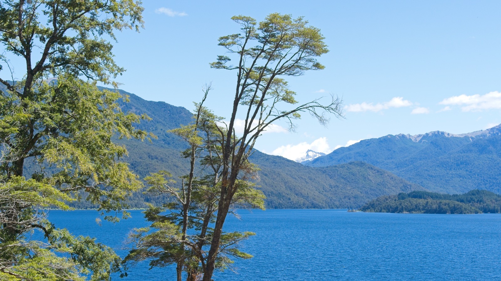
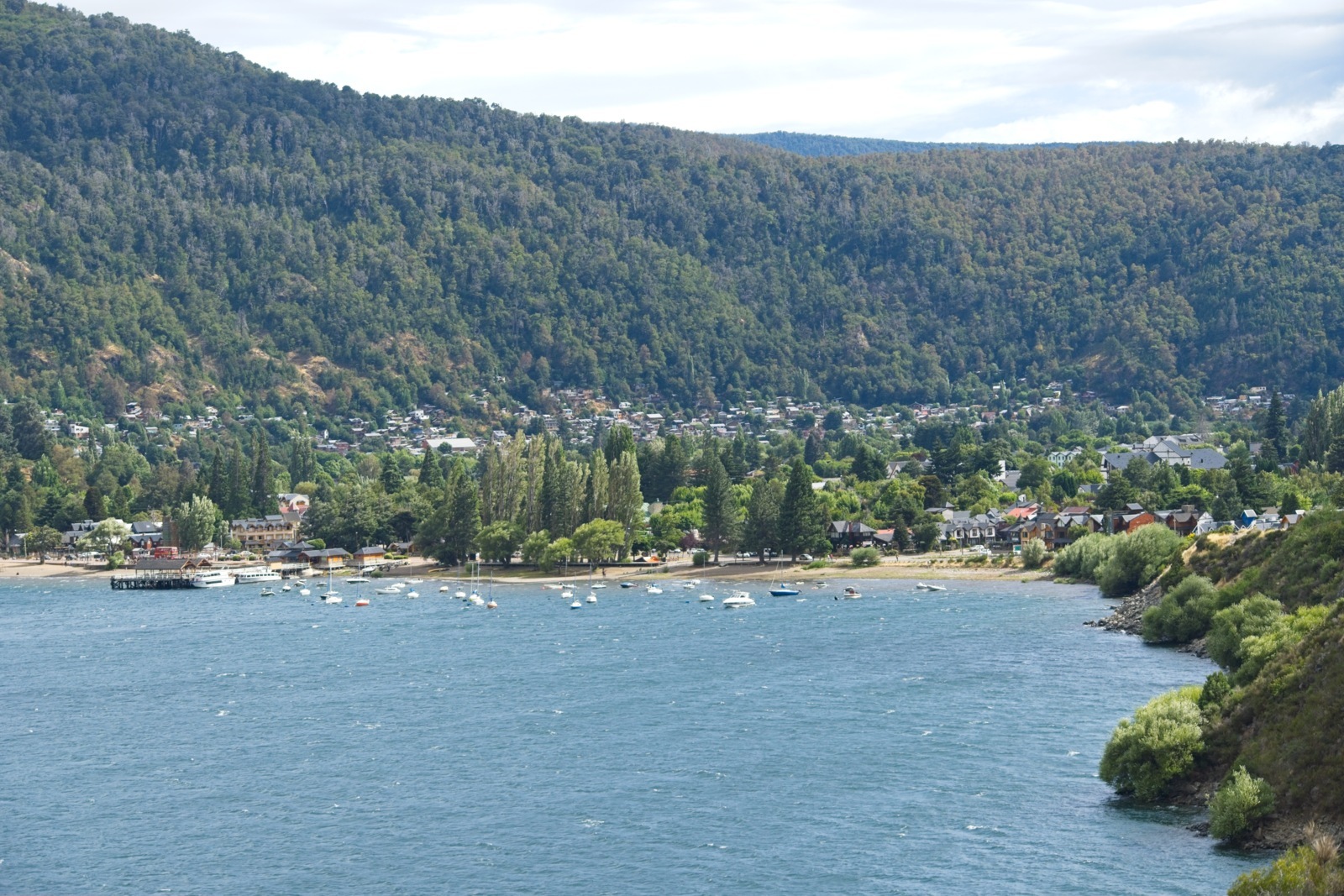
San Martín de los Andes is one of the northernmost cities in Patagonia. The entire landmass of South America south of here is considered part of the Patagonia region. On the Chilean side, the area around Puerto Varas is where people start referring to the region as Patagonia. There is no exact definition or boundary marking where Patagonia begins. Sometimes Tierra del Fuego is included in the southern part of the region, and sometimes it is not. In any case, Patagonia is a very sparsely populated region of South America, unless you happen to be in the tourist hotspots and it happens to be summer. Because during the summer months, Patagonia is one of South America’s most popular travel destinations. Presumably, everyone has heard of this region at least once and seen a few picture-perfect photos of the famous Mount Fitz Roy or the Torres del Paine. In addition to the incredibly photogenic southern foothills of the Andes, which stretch across western Patagonia, the Argentine side also features vast stretches of empty steppe where there are definitely more guanacos than people. As a cyclist, you really can’t avoid visiting Patagonia in the summer, since it’s located quite far south, and outside the season it gets very wet and cold there.
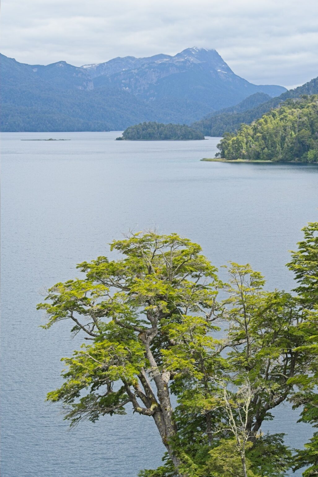
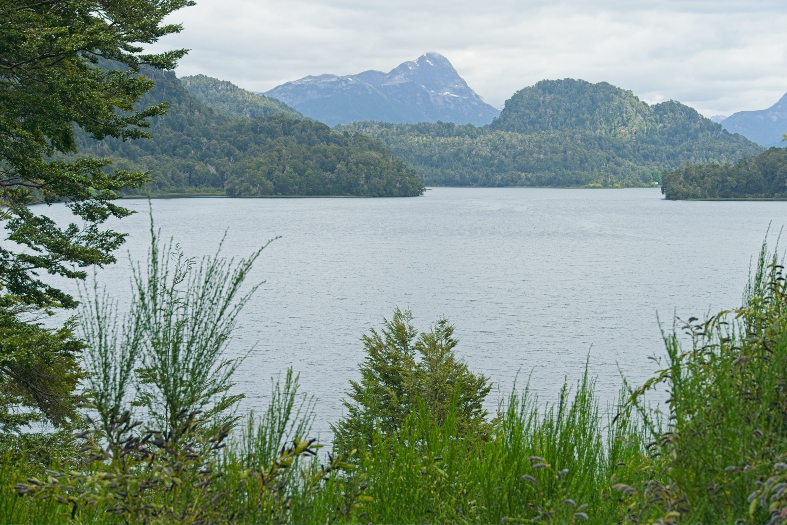
From San Martín de los Andes, there are two typical routes southward for cyclists: the Patagonian Beer Trail — a remote bikepacking route through the Argentine steppe to El Bolsón — and the Ruta de los Siete Lagos to San Carlos de Bariloche. The latter is less remote and runs entirely on paved roads along Ruta 40. Since my window of time was slowly closing to arrive in Santiago in time for my upcoming job, I chose this faster option. I couldn’t figure out why this section is called the Ruta de los Siete Lagos, since you can visit up to 13 lakes along the route. Is it perhaps because there’s also a Route of the Seven Lakes right next door on the Chilean side?
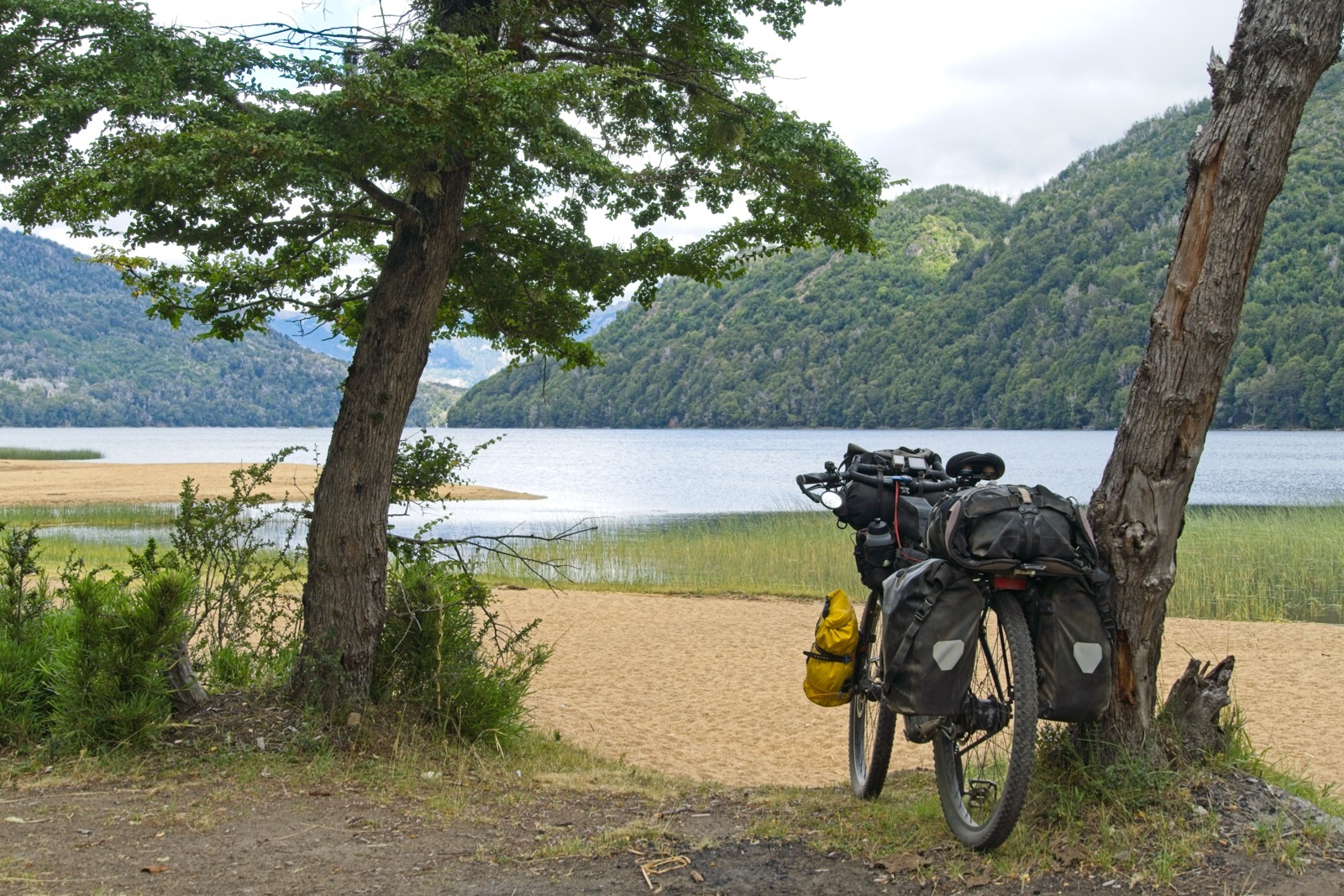
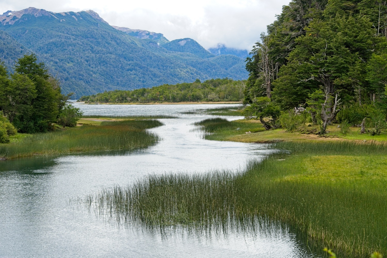
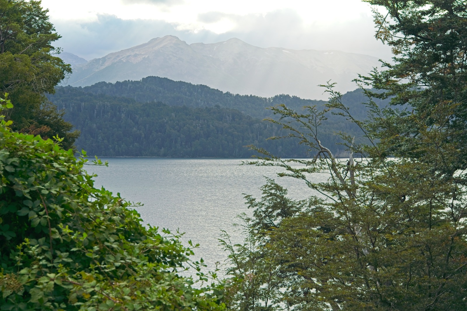
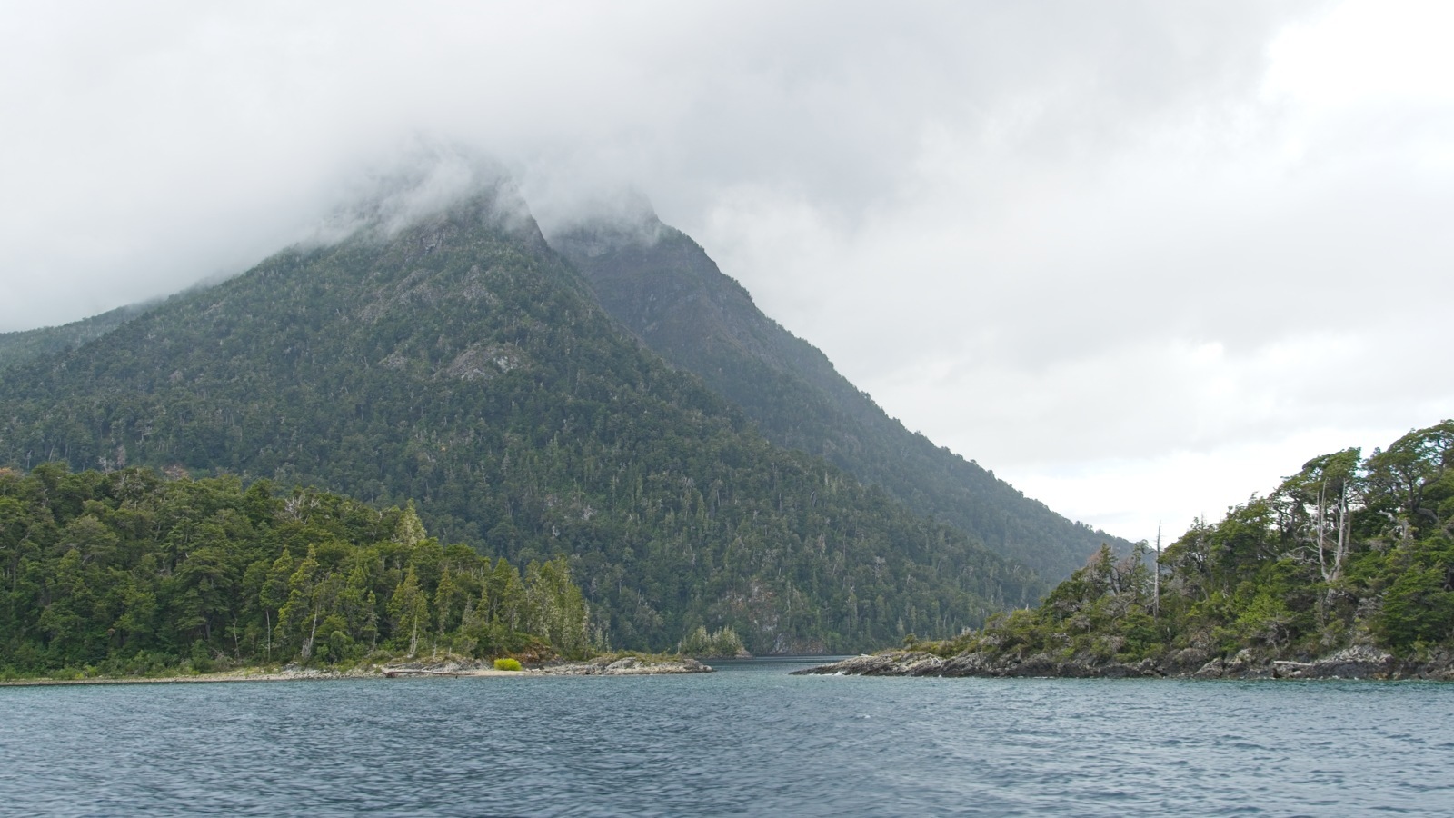
In any case, it was a pretty nice first impression of what awaited me in Patagonia. The road wound its way through valleys that weren’t too wide, bordered by steep mountain slopes. In between lay numerous lakes, as well as rivers and streams connecting them. Thanks to all the water, everything was a lush green. The weather was slightly hazy, with the occasional light shower here and there. The passing clouds created a wonderfully atmospheric mood.
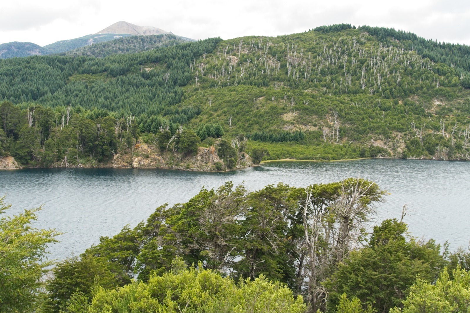
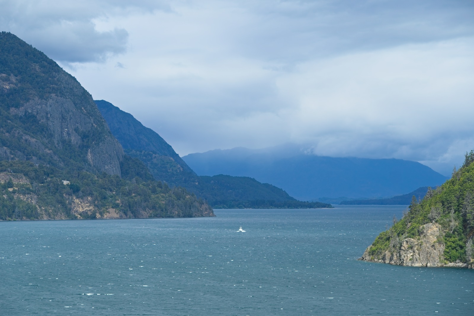
Just before Villa la Angostura, I had actually planned to turn right toward Paso Cardenal Antonio Samoré and re-enter Chile that way. At the last minute, however, I decided to take a small detour on the recommendation of other cyclists. From Bariloche, cyclists have the option of taking three ferries to get to Chile in a fairly remote area. Ferries that are actually only open to pedestrians and cyclists — a route completely free of cars; what could be more tempting? The only downside: The following 90 kilometers on Ruta 40 to Bariloche were extremely unpleasant, with heavy traffic and little room for cyclists. But it was definitely worth putting up with. Because the route from Puerto Pañuelo near Bariloche to Petrohué in Chile was definitely a great highlight to finish off this leg of the journey.
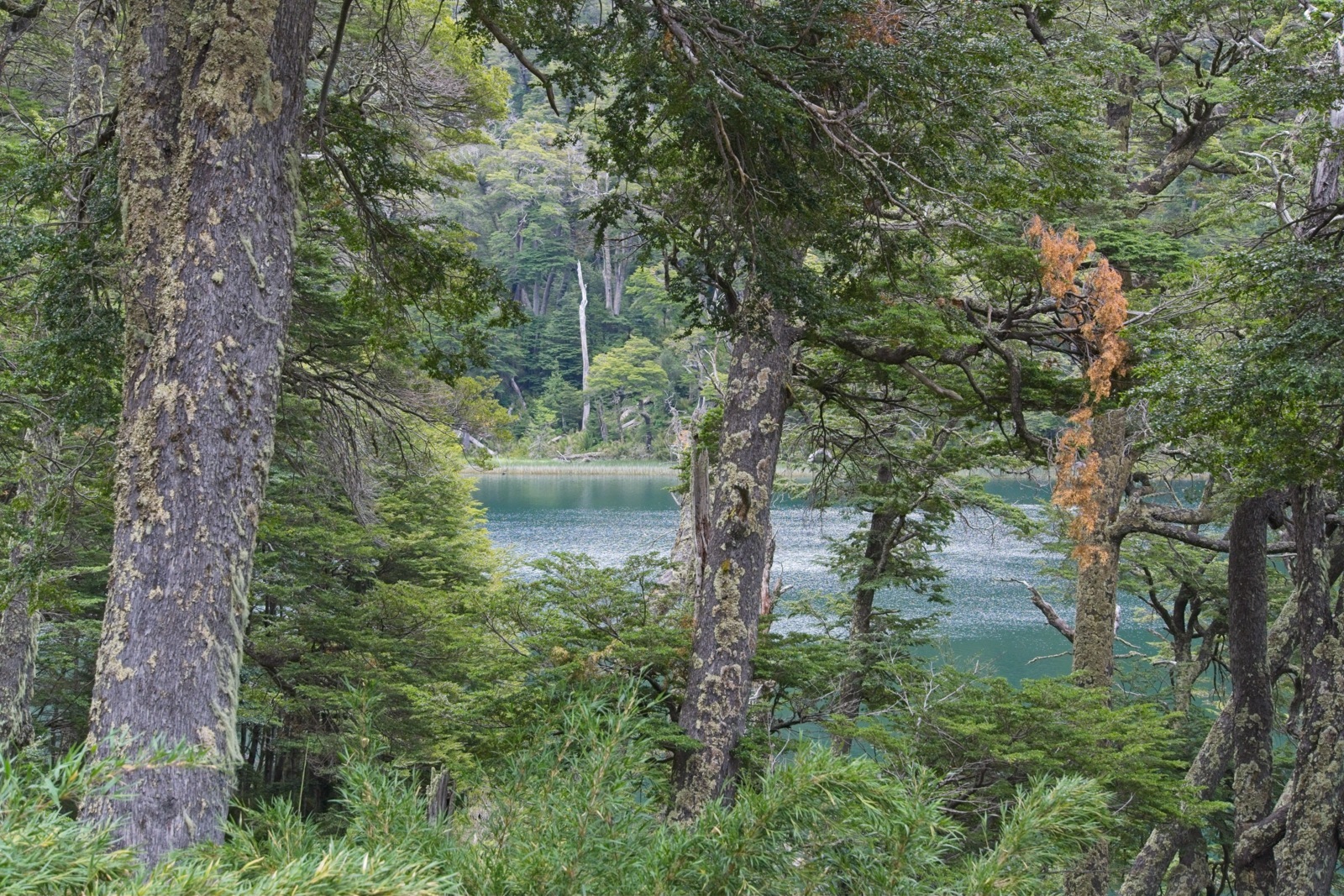
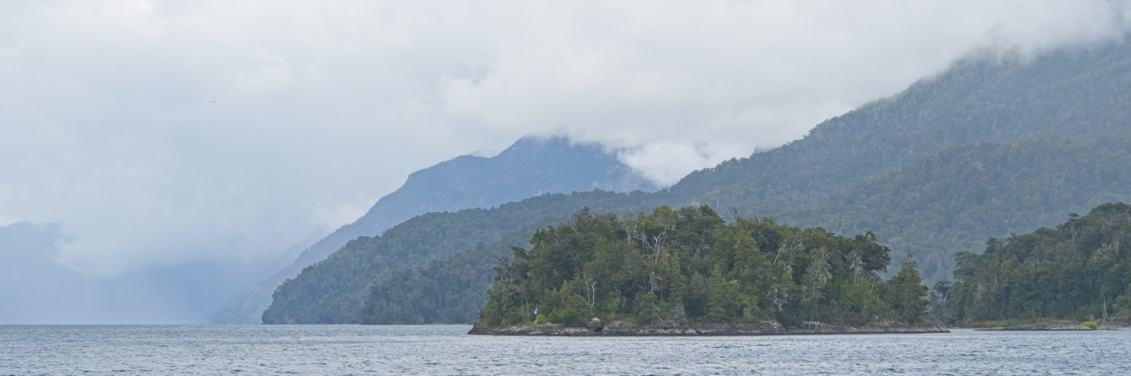
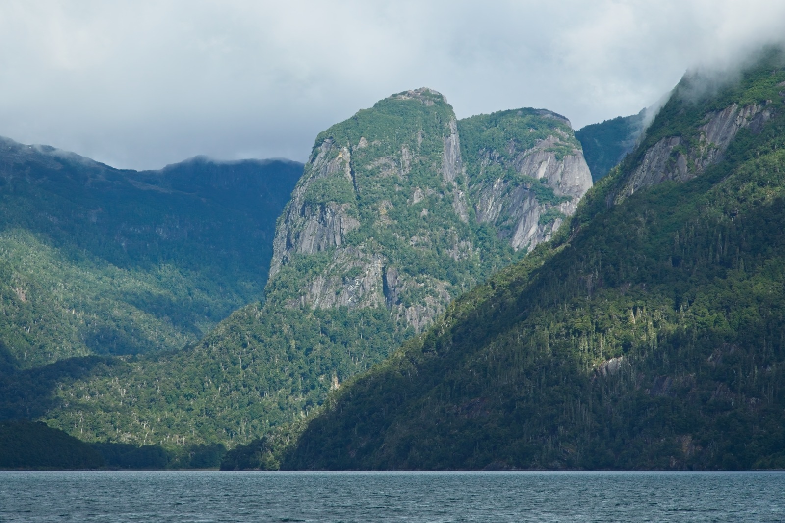
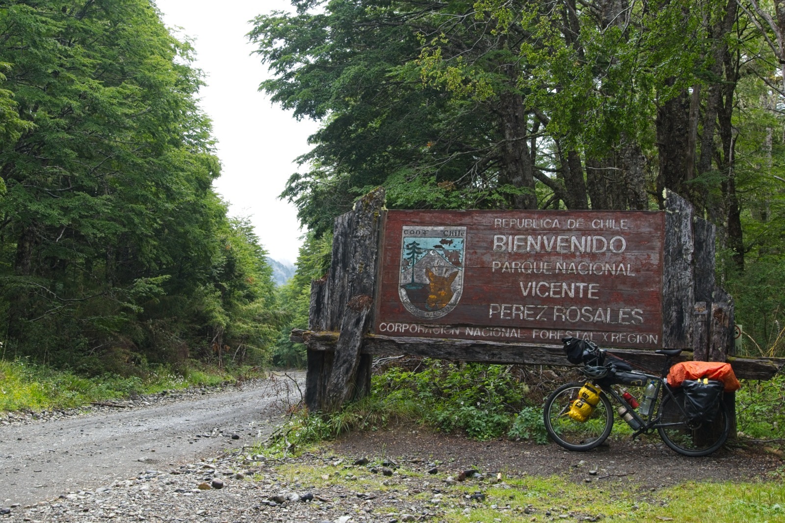
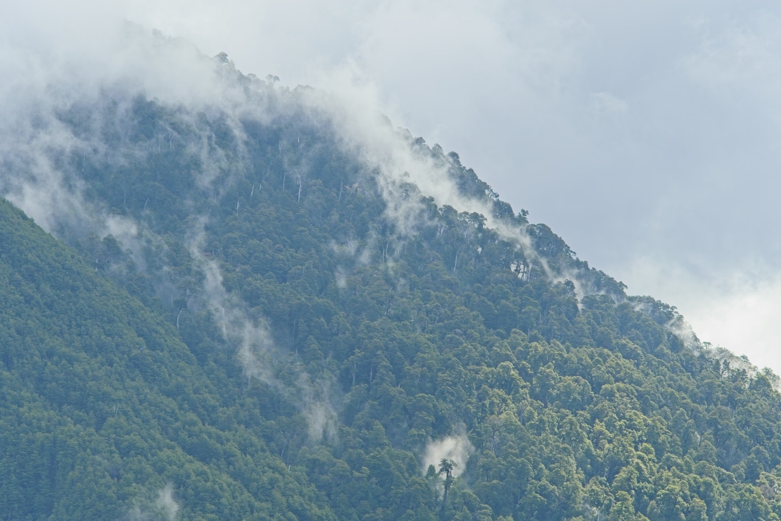
The route follows a well-established tourist route from Bariloche, Argentina, to Puerto Varas, Chile, and can be found online under “Cruce Andino.”2 Apart from the rather pricey tour that includes a bus and luggage transfer, there’s a much more affordable Bike&Boat option where you only pay for the three ferries and cover all the distances in between on your own bike, rather than sitting on a tour bus. It’s a great way to traverse the two national parks — Nahuel Huapi in Argentina and Vicente Pérez Rosales on the Chilean side — since, apart from the boat transfers, you’re completely on your own on your bike in a remote area. The journey begins early in the morning at Puerto Pañuelo, where you first have to remove all bags from your bike to load it onto the boat. Then you can enjoy the fairly long boat ride across an arm of the vast Lago Nahuel Huapi to Puerto Blest. I’d caught another misty day, with clouds hanging in the mountains and only a few peaks peeking out now and then — it definitely had a certain charm.
On the short stretch from Puerto Blest to Lago Frías, I was completely alone. There’s a shuttle bus for the other tourists. As a cyclist, you can calmly ride to the small lake on your own and don’t even have to carry your luggage here. If you also want to catch the last ferry on the Chilean side on the same day, you should make sure to board the first boat across Lago Frías, otherwise you might run out of time. I, however, spread the tour through the two national parks comfortably over two days. Once you arrive on the other side of Lago Frías, you officially exit Argentina at a gendarmerie post. The actual border is still three kilometers away, about 300 meters above Lago Frías.
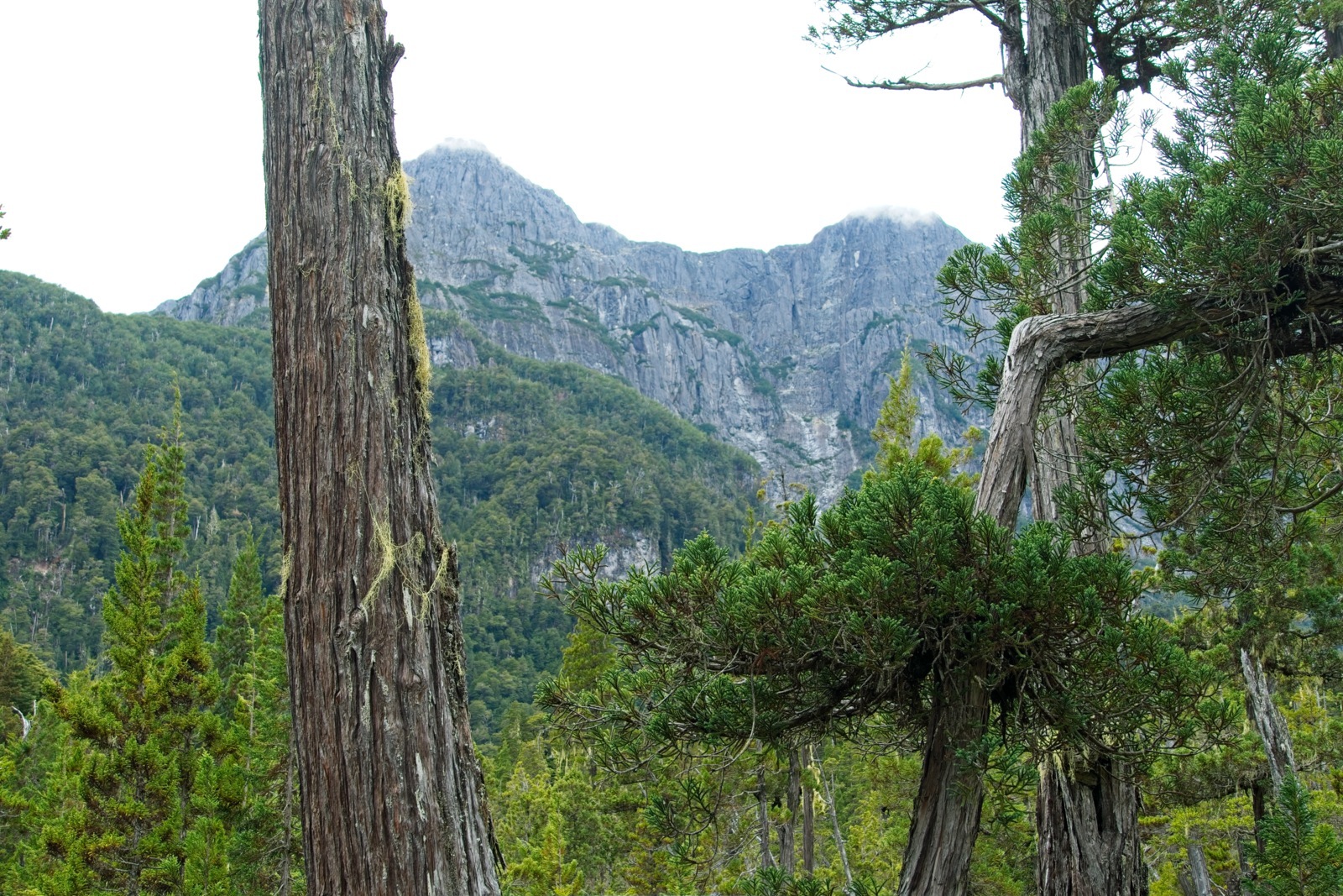
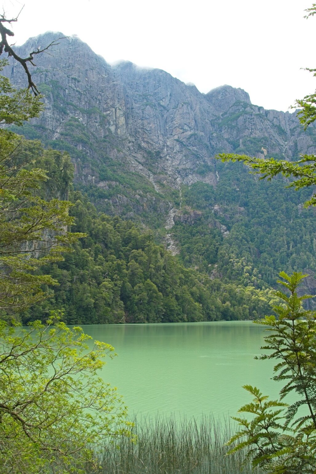
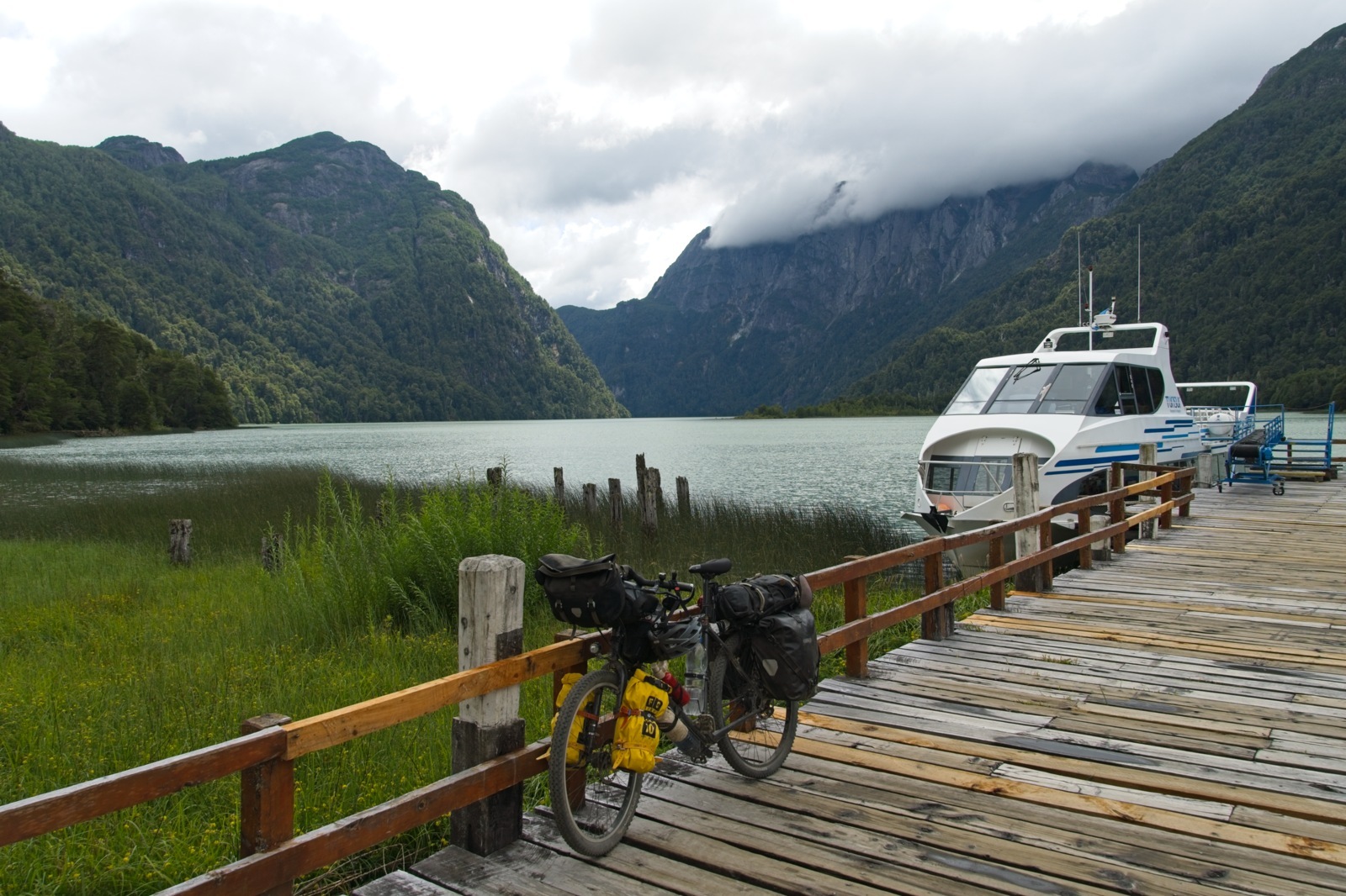
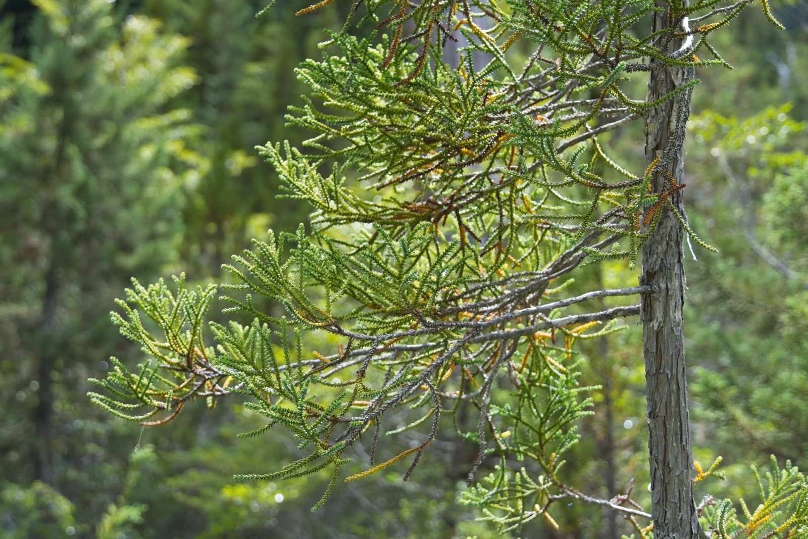
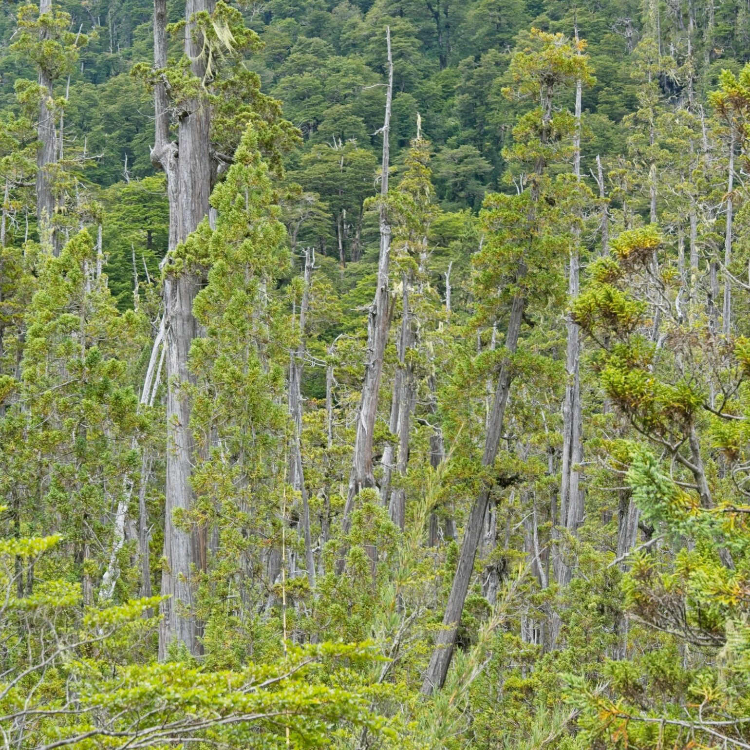
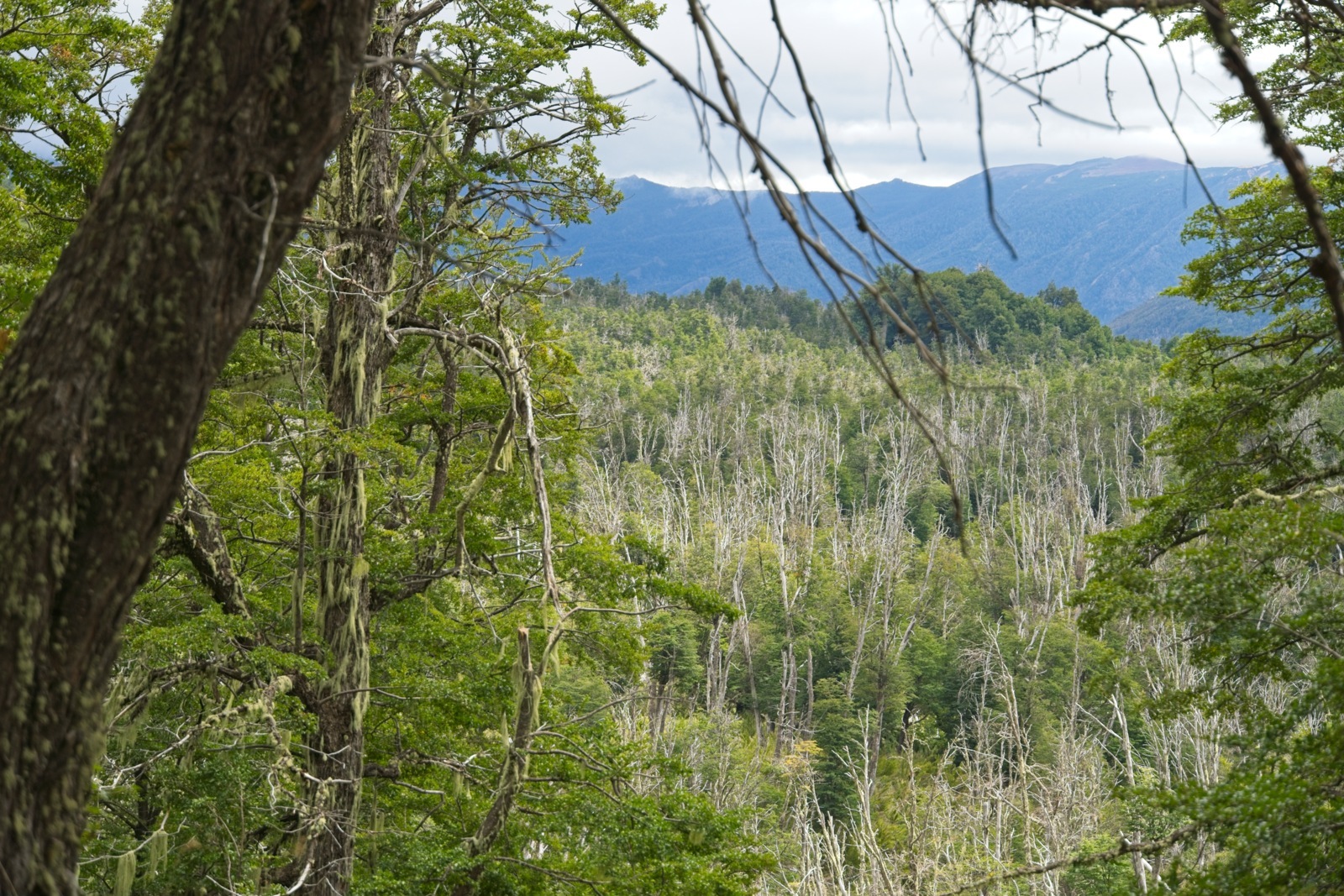
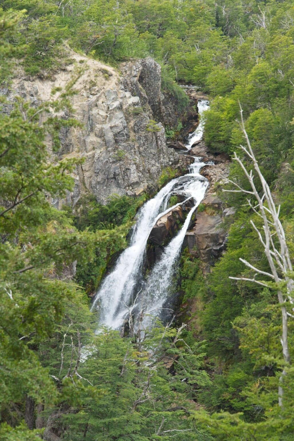
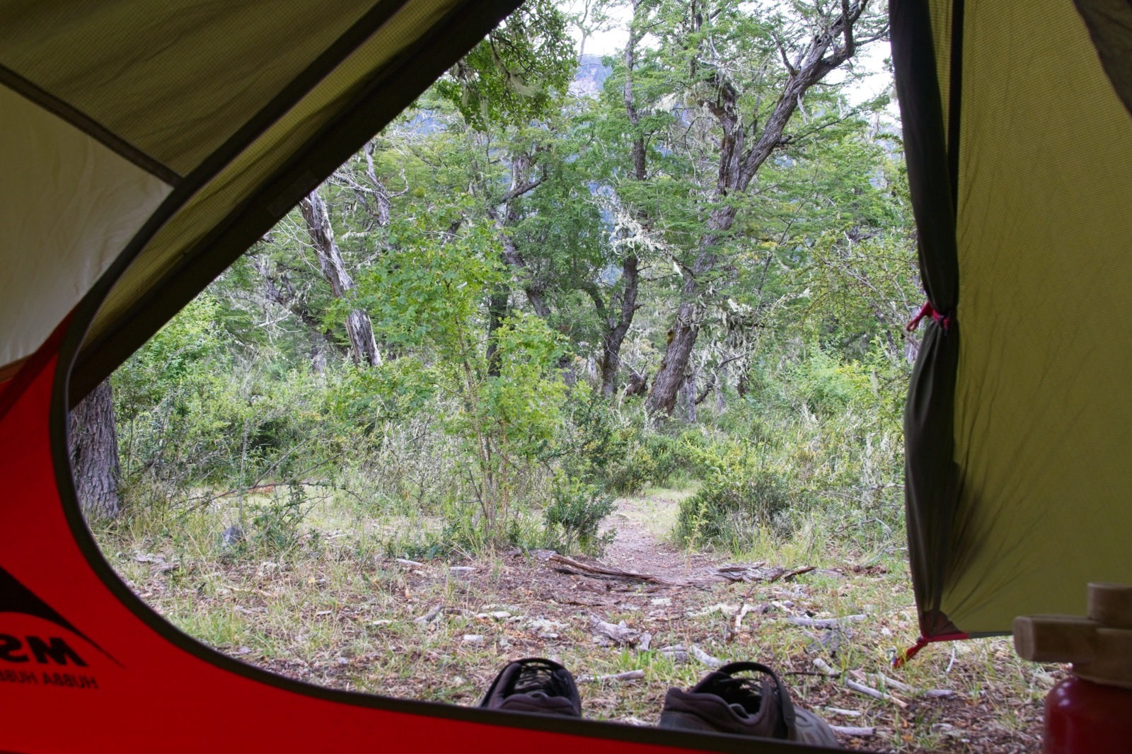
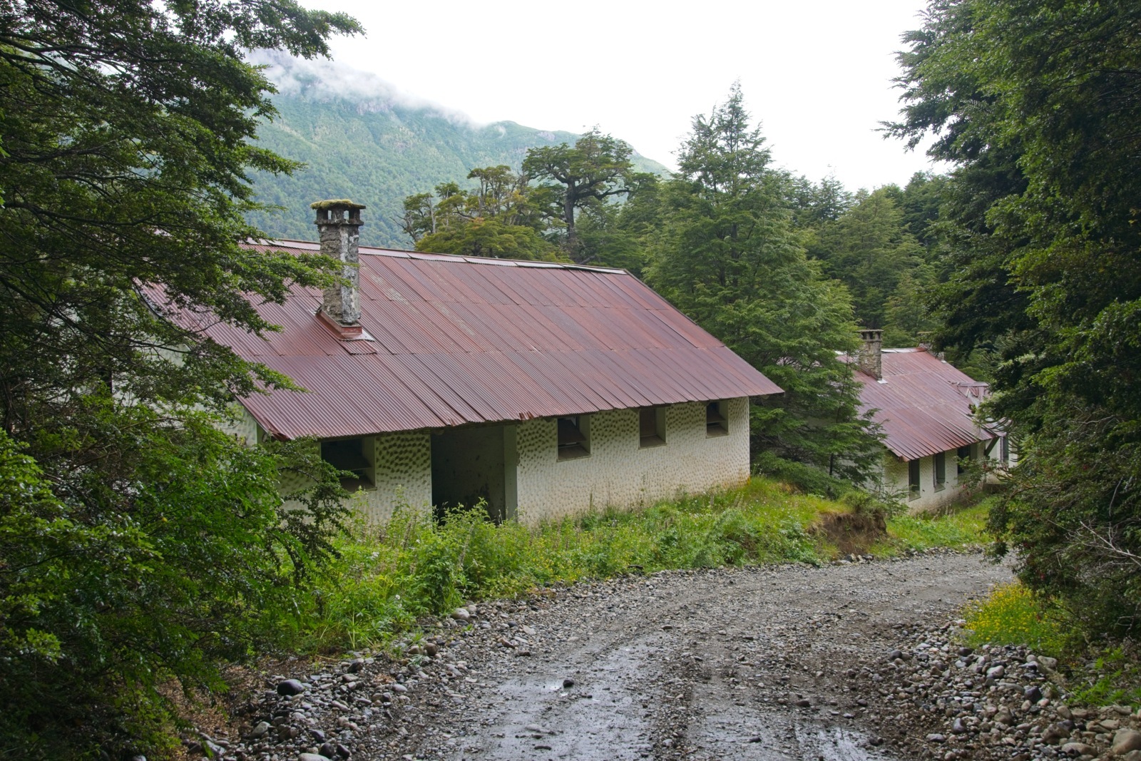
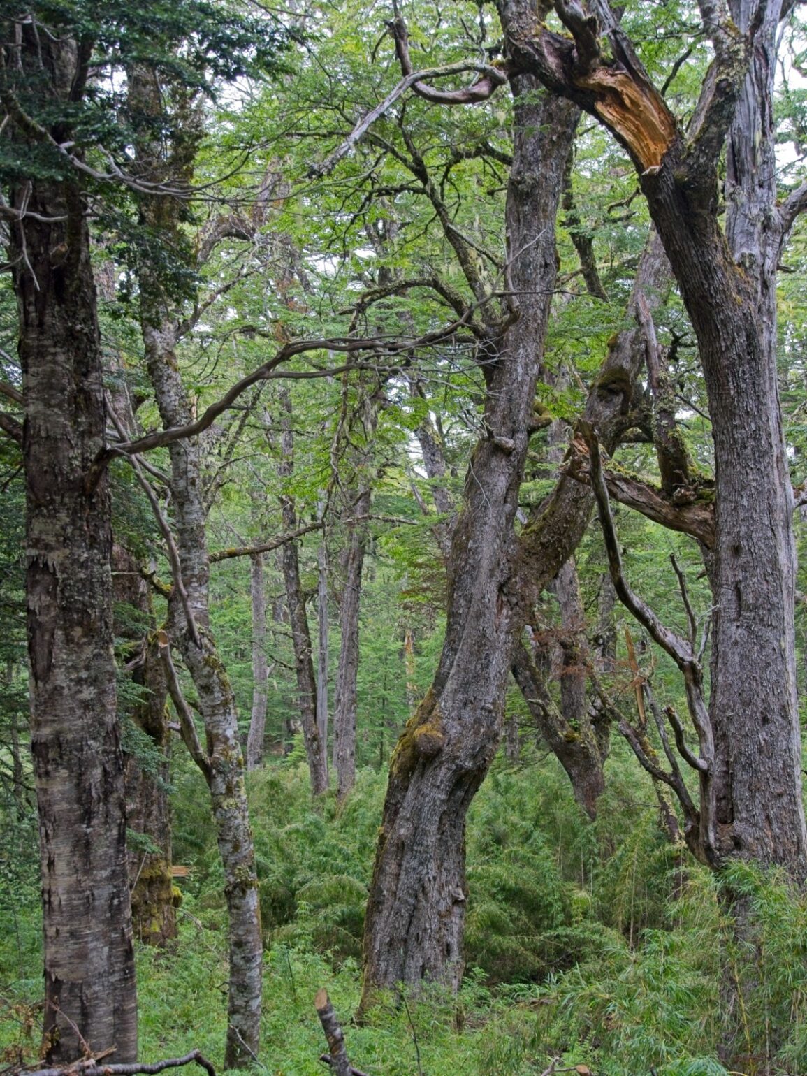
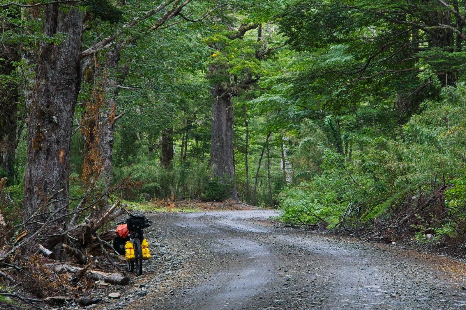
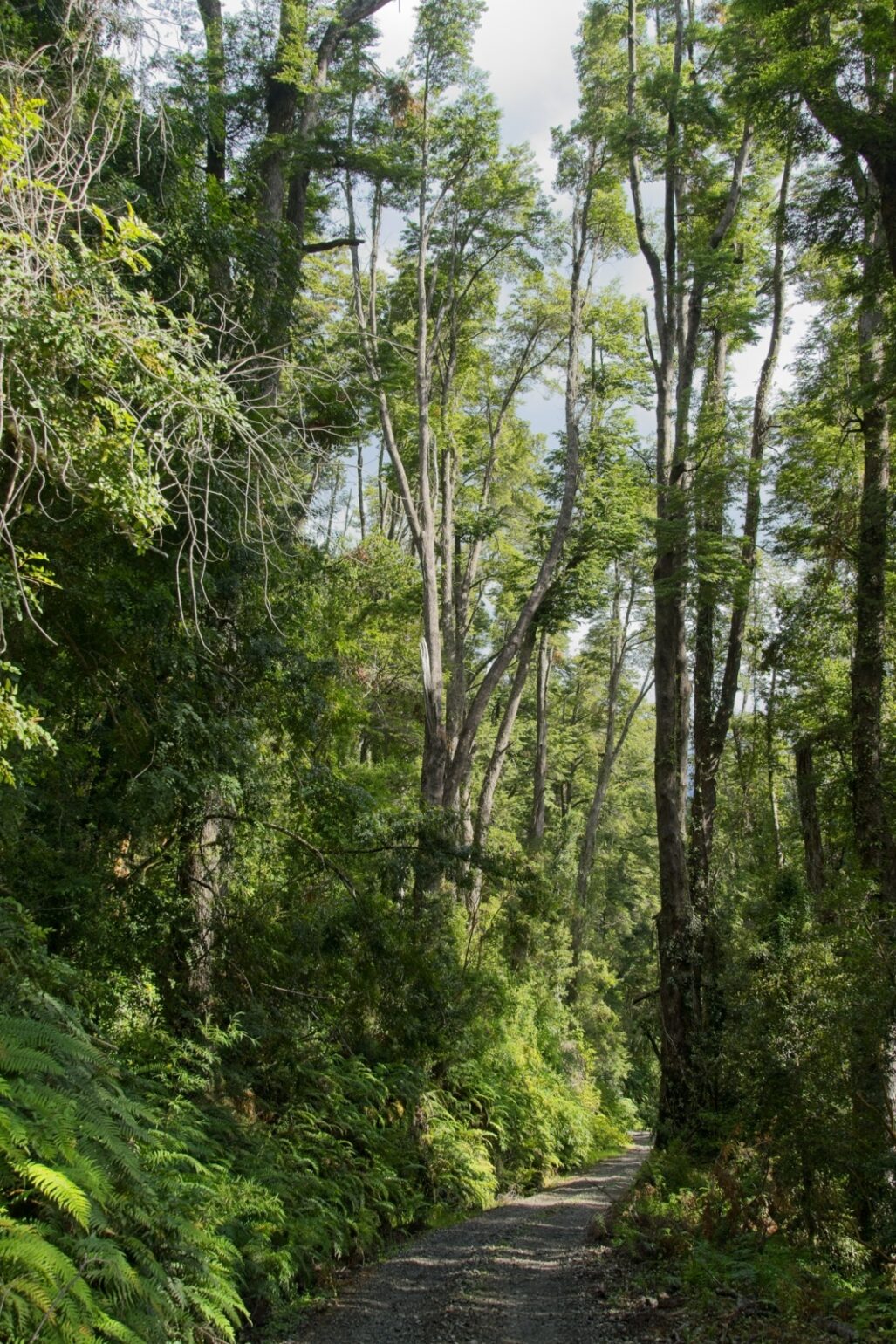
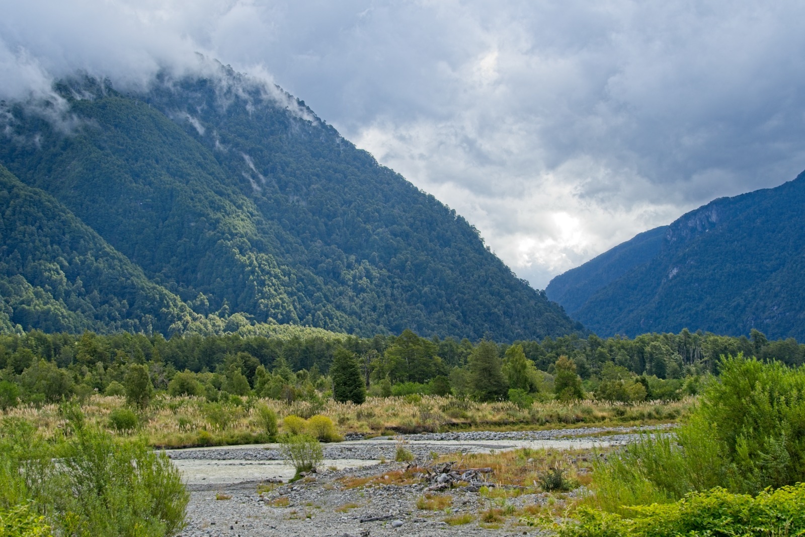
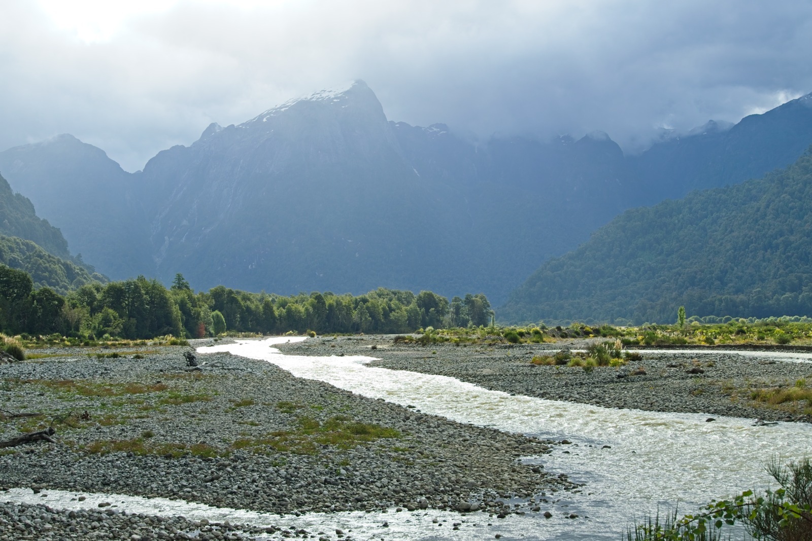
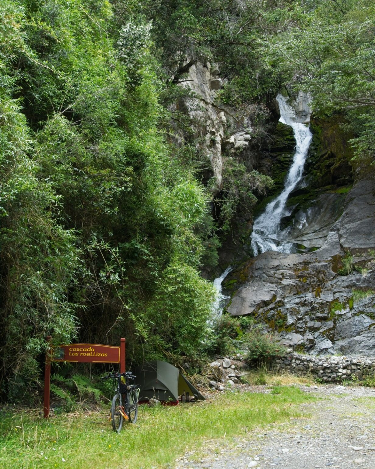
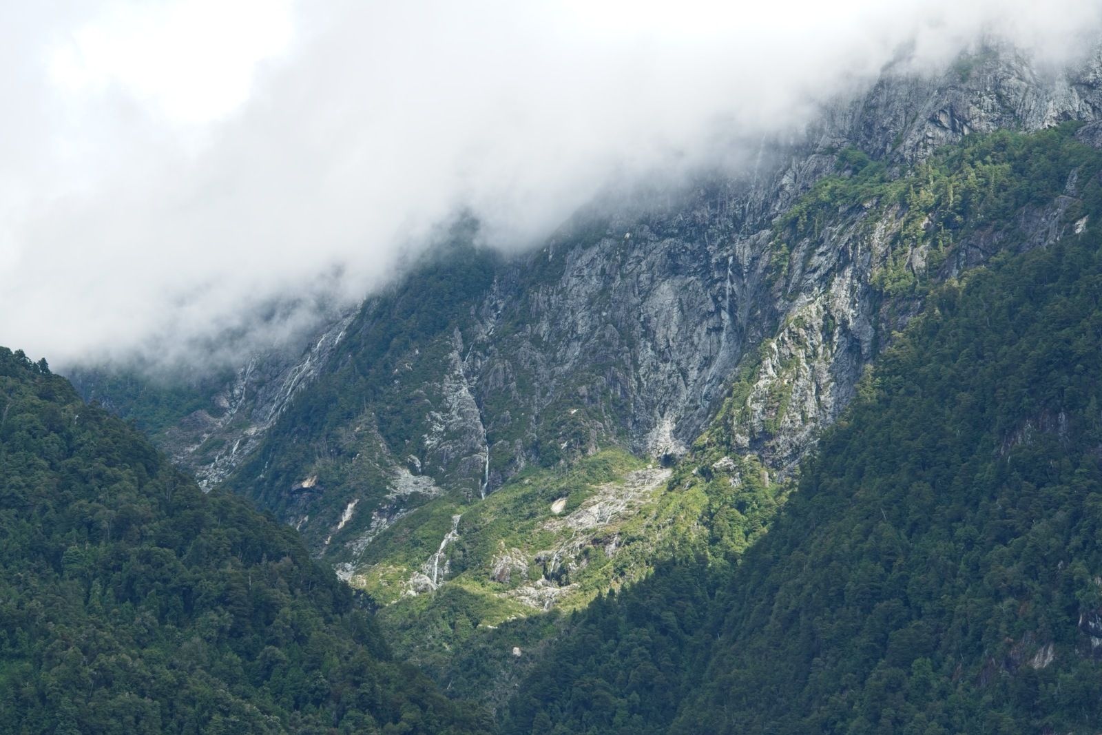
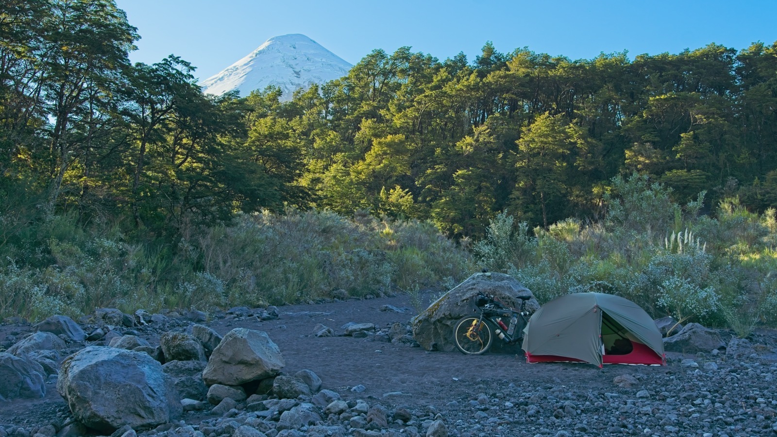
Somewhere along this climb, the bus carrying the other tourists passed me, and after that, there was complete silence again. The forest on both sides of the border is very dense and looked completely untouched. No wonder, since both national parks are among the oldest in their respective countries. From Paso Perez Rosales right at the border, the descent is quite steep. If you’re doing the tour in the other direction, you should definitely plan a few hours for this climb. The views through the trees into the valley ahead of me were spectacular. The last 17 kilometers to the Chilean border station in Peulla practically rolled by on their own. The gravel road was in pretty good condition and the descent was very gentle. I pitched my tent at Cascadas las Mellizas and enjoyed the evening in complete solitude, listening to the rush of the waterfall.
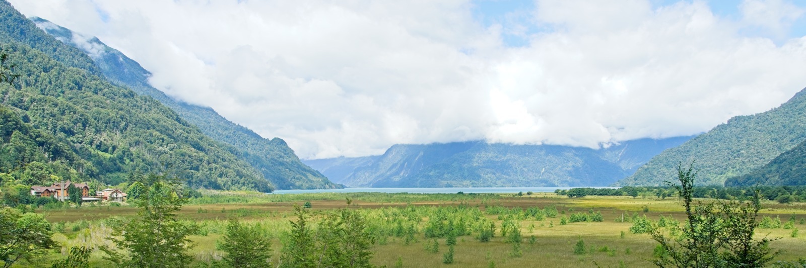
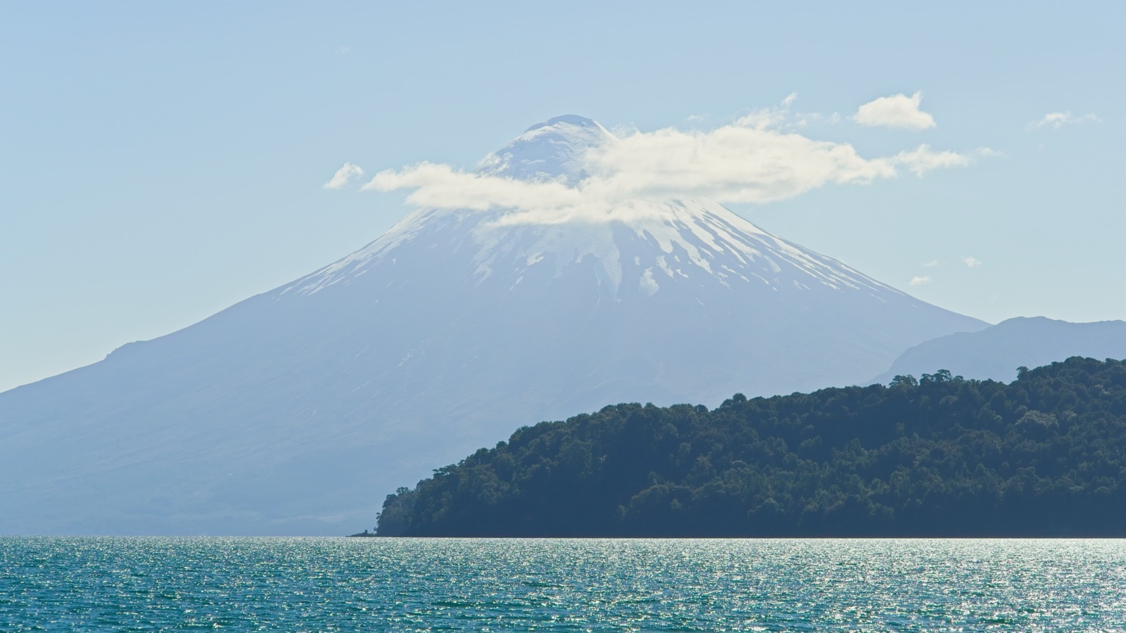
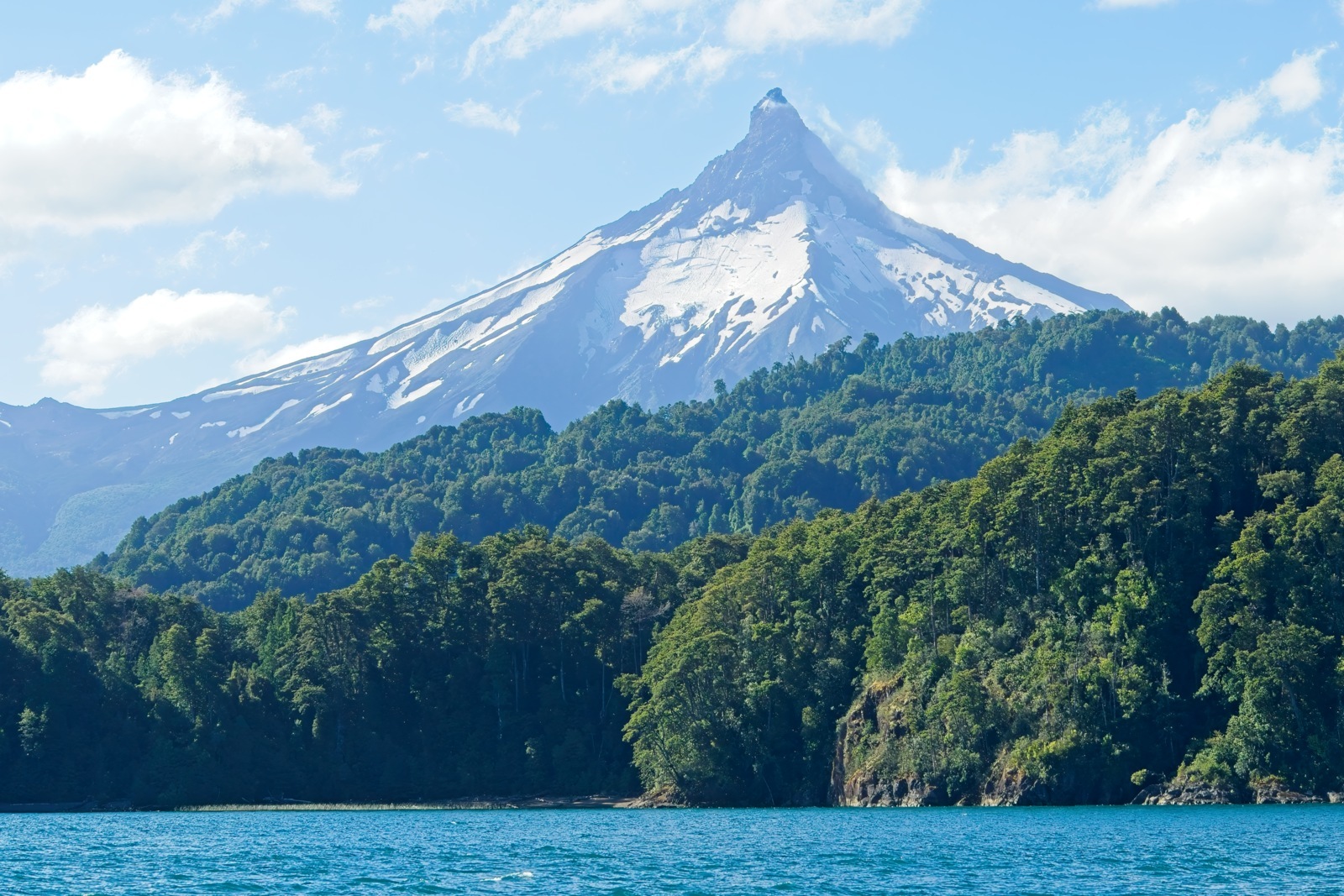
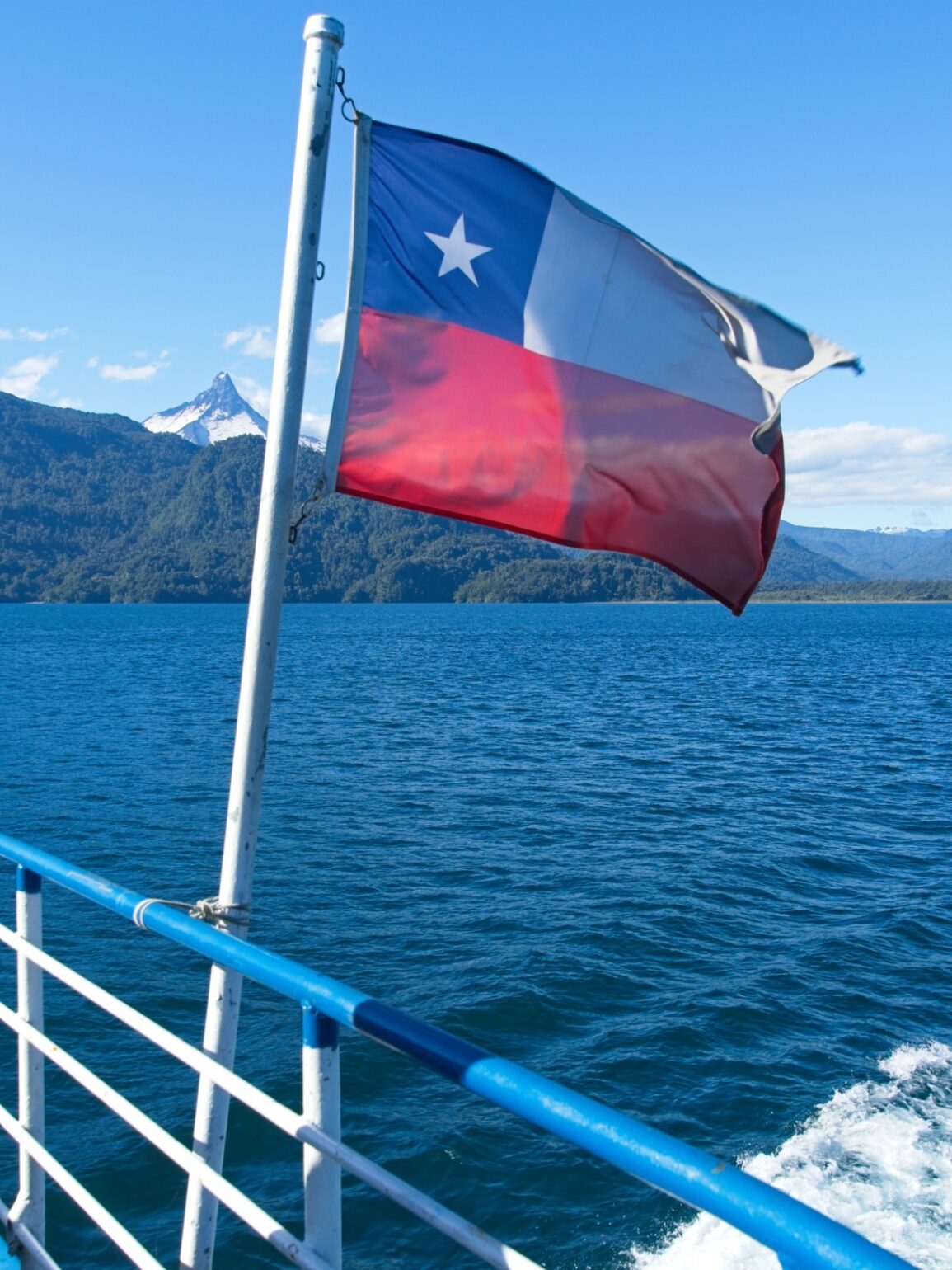
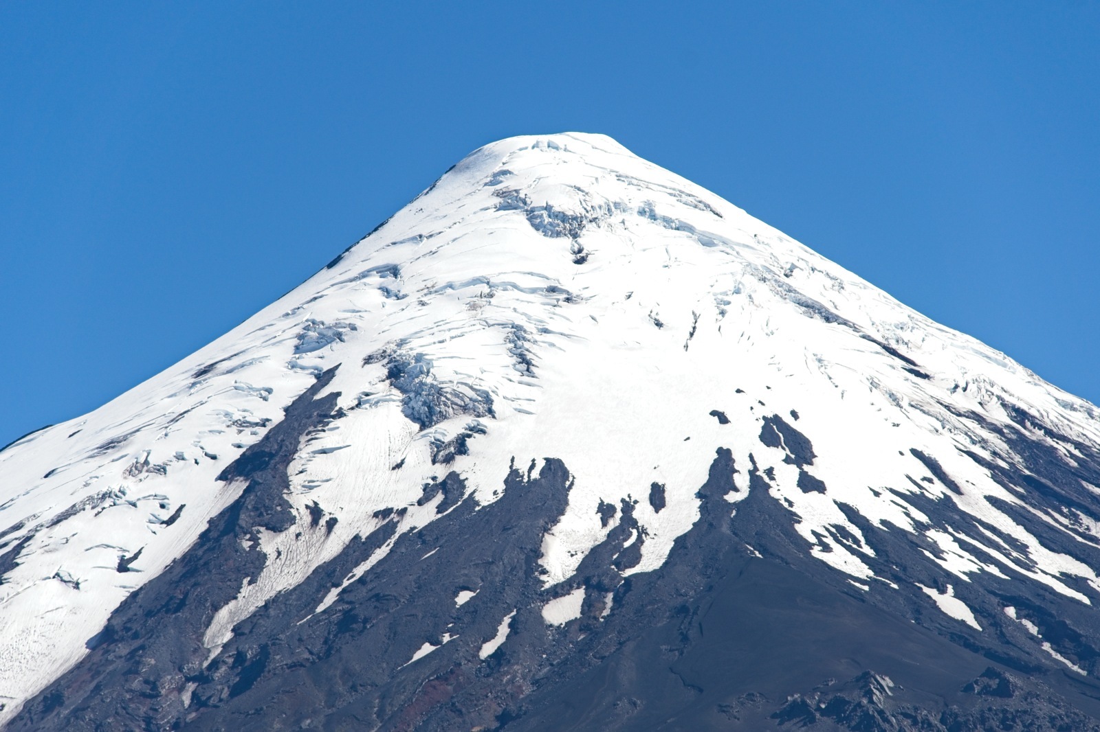
Since the last boat on this route across Lake Todos los Santos didn’t depart until late afternoon, I had a very relaxed next day ahead of me. It was only eight kilometers from the waterfall to the border post in Peulla. When I arrived, the border post was initially unmanned. The officer was in his staff apartment and apparently wasn’t expecting any travelers at that time — no wonder, since the tourist buses only passed by twice a day. The weather had cleared up in the meantime; it was a wonderfully sunny day. The view that later opened up over Lake Todos los Santos was magnificent. The two mighty volcanoes, Puntiagudo and Osorno, truly competed with each other in their beauty.
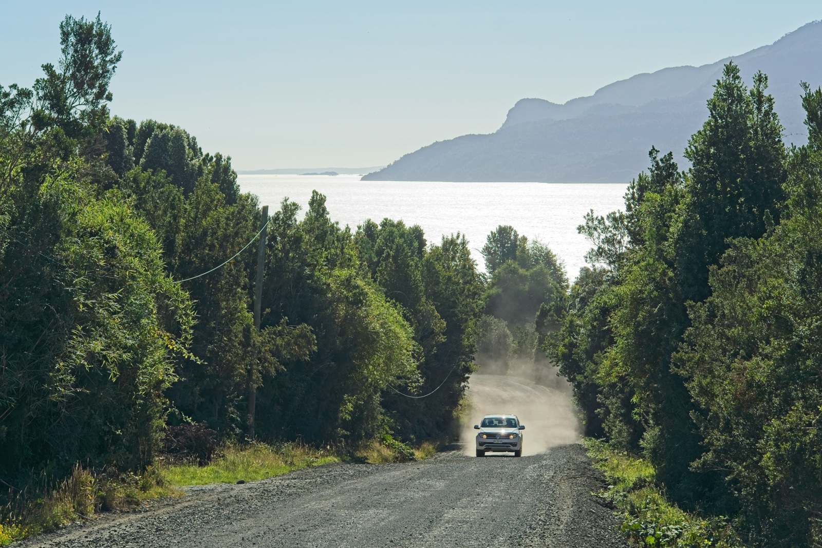
From Petrohue, it wasn’t far to Puerto Montt — the city where my journey was set to take a longer break for the time being. Since I still had some time, I found it hard to head straight to Puerto Montt. So why not take one more little detour? So I chose the route through the village of Cochamó along a fjord-like inlet connected to the Pacific Ocean. Scenically, this was also a beautiful stretch. But somehow my mind was now less on the scenery and more on the changes ahead. After three and a half years, I would be living in one place permanently for the first time, in a permanent apartment, without constantly moving on.
The only thing that gave me peace of mind at that moment was knowing that I would be back in the south just a few months later, in December, to continue the journey.
Travel time: January/February 2025
- The online booking process didn’t offer an option for cyclists or pedestrians, so I booked a slightly more expensive motorcycle ticket to at least secure a spot. You have to pay at the ticket counter when you arrive; in the end, the friendly lady charged me only the pedestrian fare of 1,000 CLP when I told her about my “dilemma.”[↩]
- The Bike&Boat option costs 130 USD with Cruce Andino in January 2025. There are no other providers for this route.[↩]
Leave a Reply