
Patagonia: On quiet roads from Puerto Varas to Villa Amengual
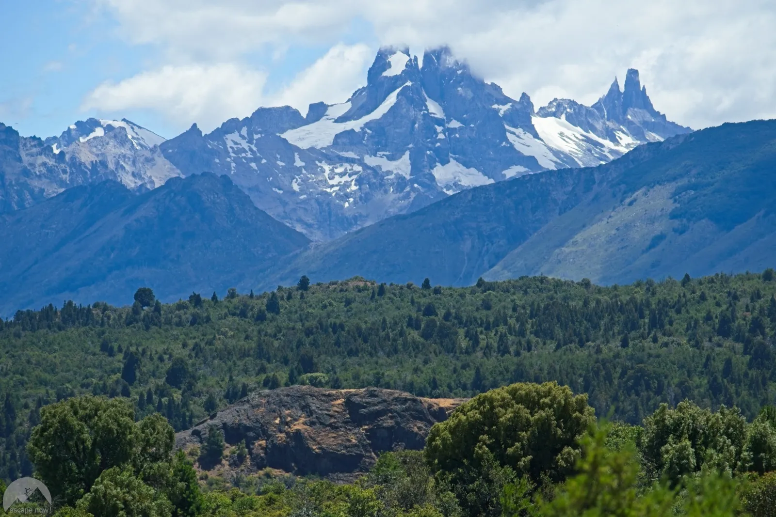
Ten months after I had left Patagonia by bus for Santiago, I was back. Thanks to the Chilean school year, I now had two months to continue my journey in the south – from the end of December to the end of February, the best time of year to travel Patagonia. In the meantime, I had also fulfilled a small dream: a new bike for traveling – an extremely sturdy mountain bike with wide tires that feels most at home on off-road tracks. To properly break it in right away, it couldn't really be a "completely normal route" at the start.
Puerto Varas – Trevelin
Inspired by Mark Watson and Hana Black1Mark Watson's blog post with a route description for Paso Puelo/Bolson, I first planned to ride from Puerto Varas over Paso Bolsón to Lago Puelo in Argentina. The crux of this route is the section between Chile and Argentina: it's only a narrow hiking trail, and for a few kilometers you have to "hike" with your bike and all your luggage. A process known among bikepackers as "hike-a-bike", which often promises a great nature experience in a car-free environment, usually at the price of considerable physical effort. Before that hike-a-bike section, though, there were still three days of leisurely warming up. My body would probably have benefited from 14 days, but my stubbornness wasn't having it.
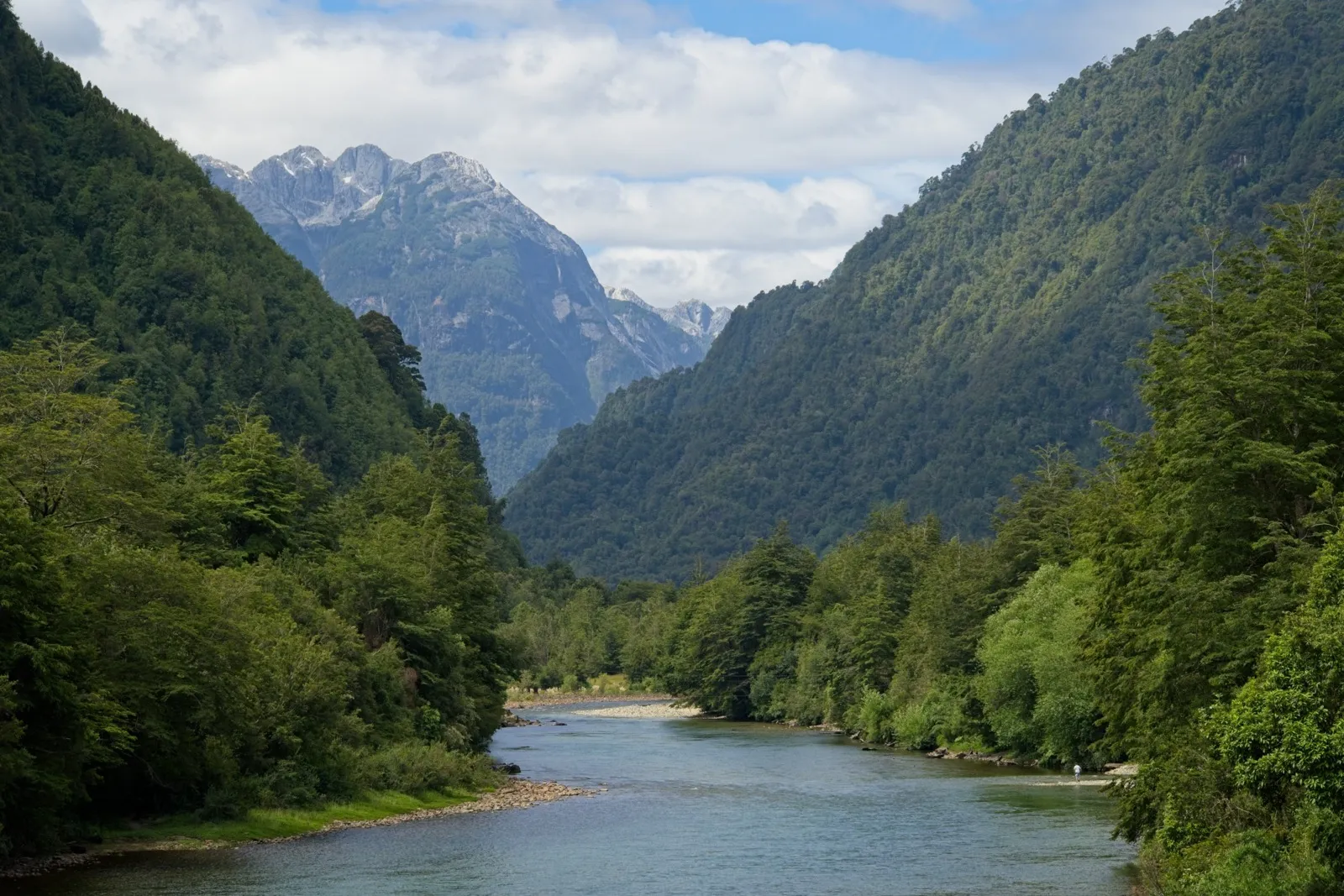
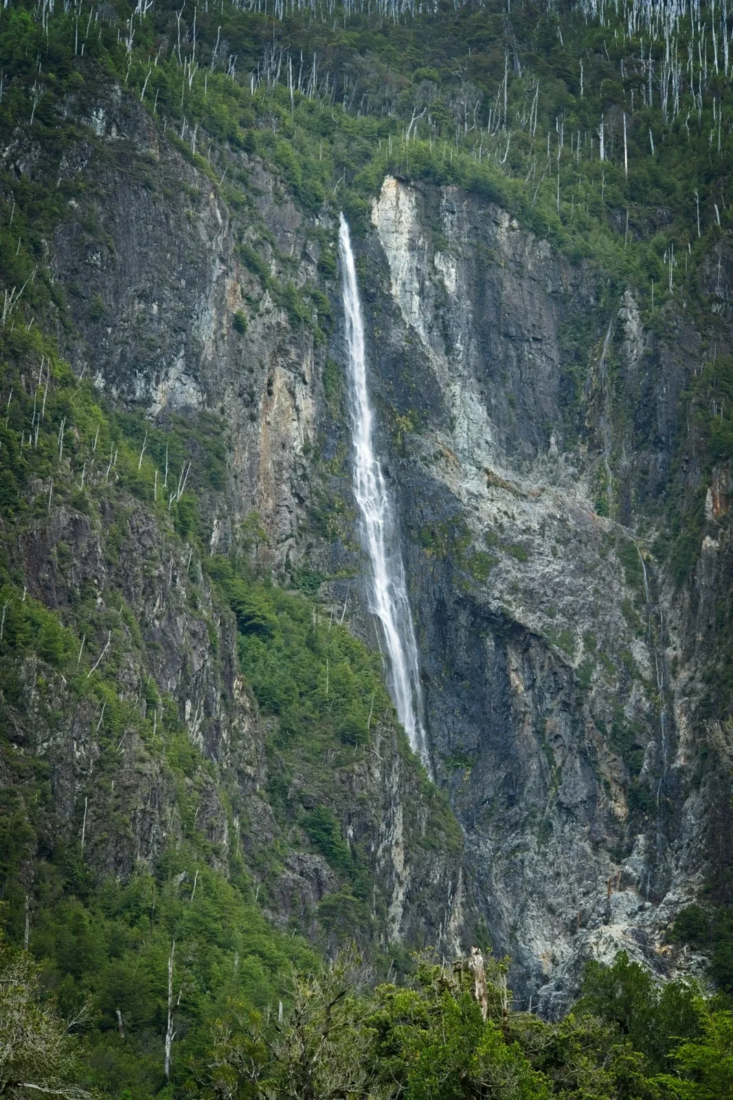
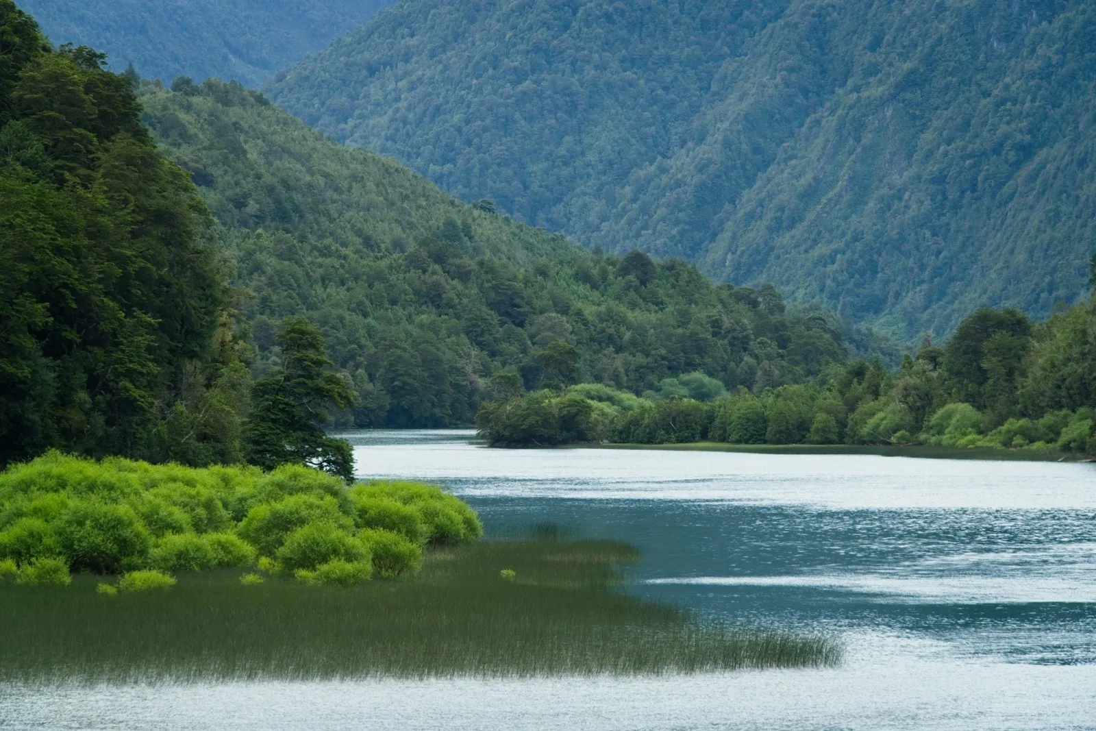
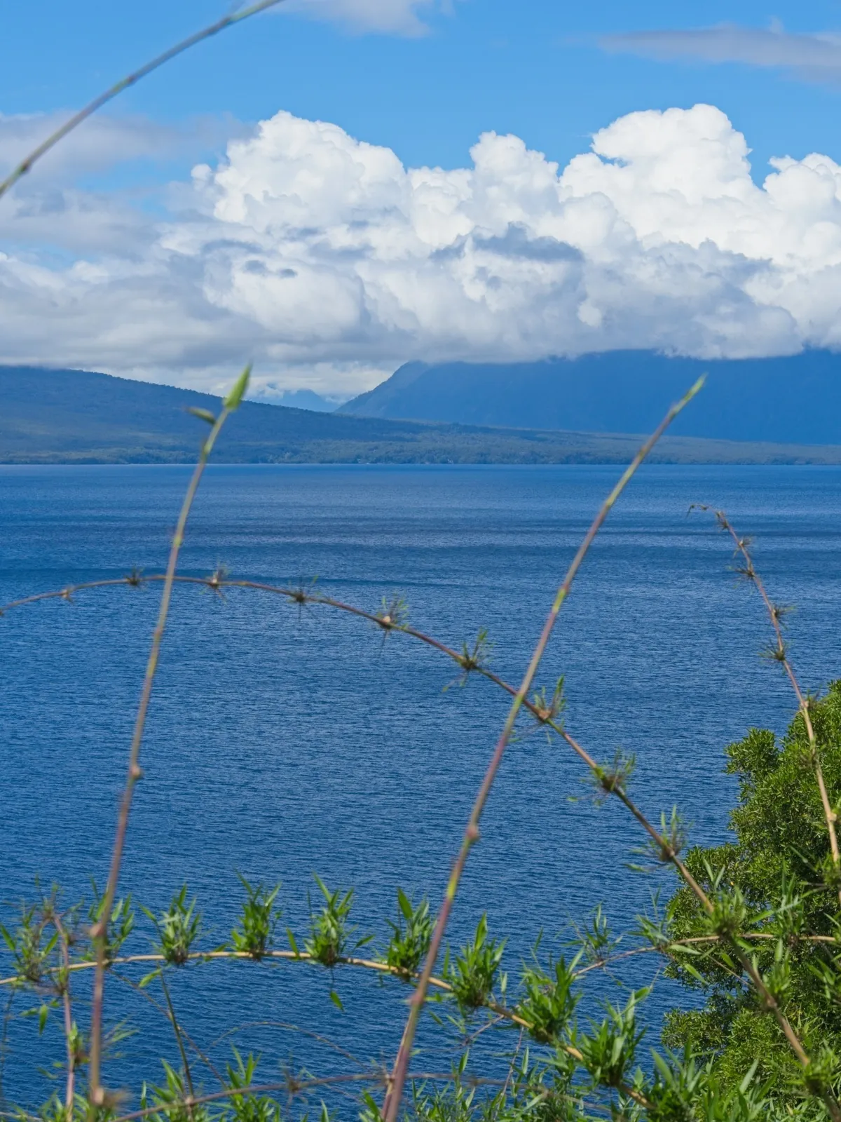
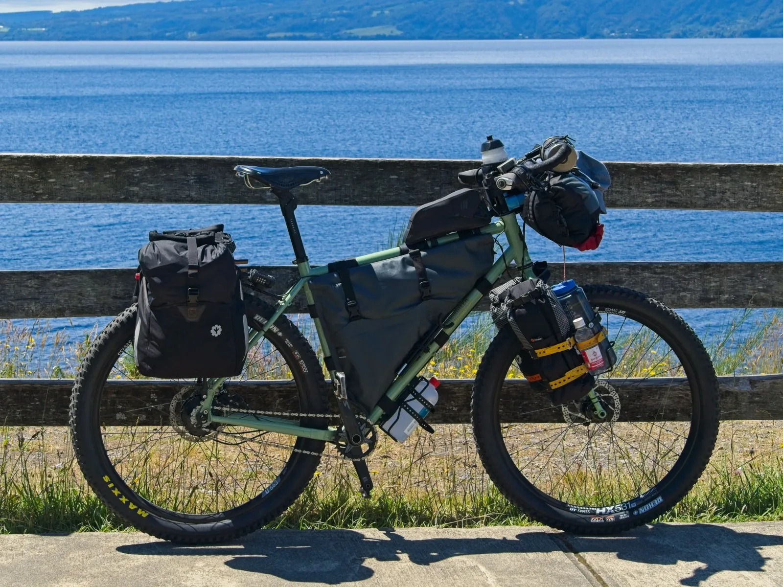
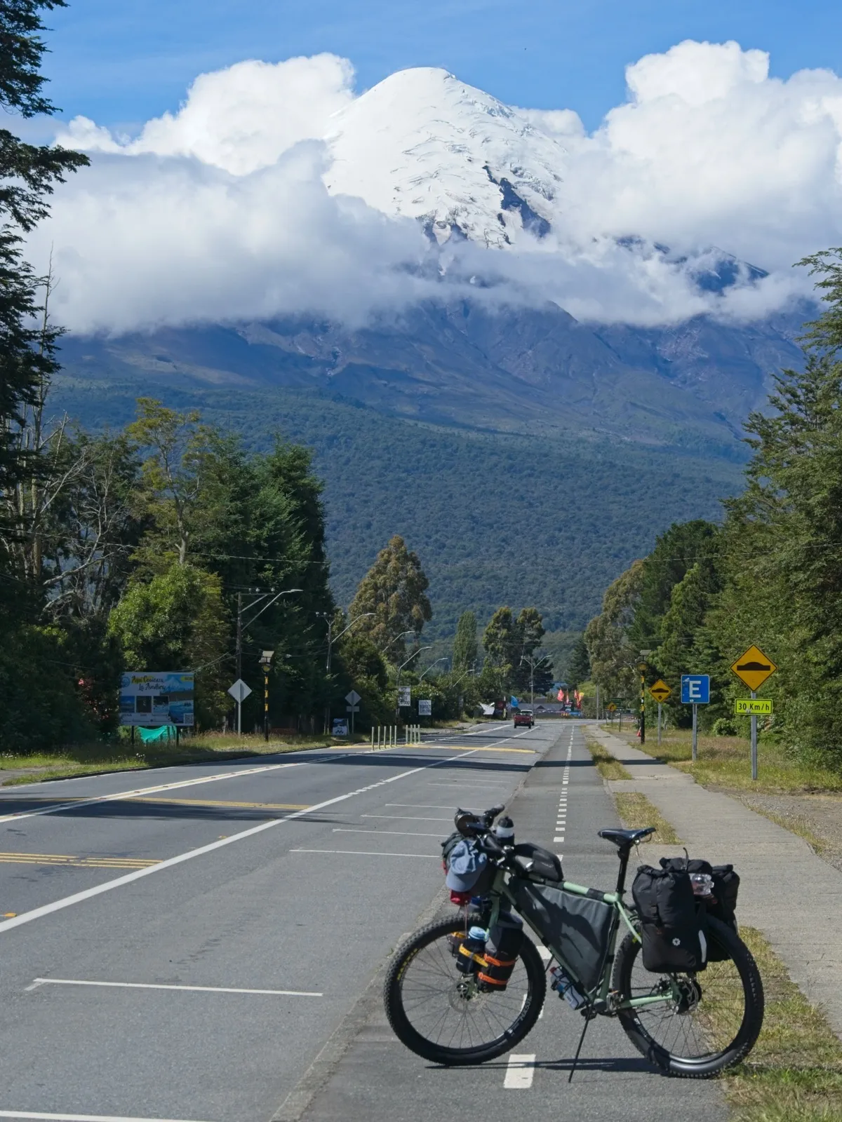
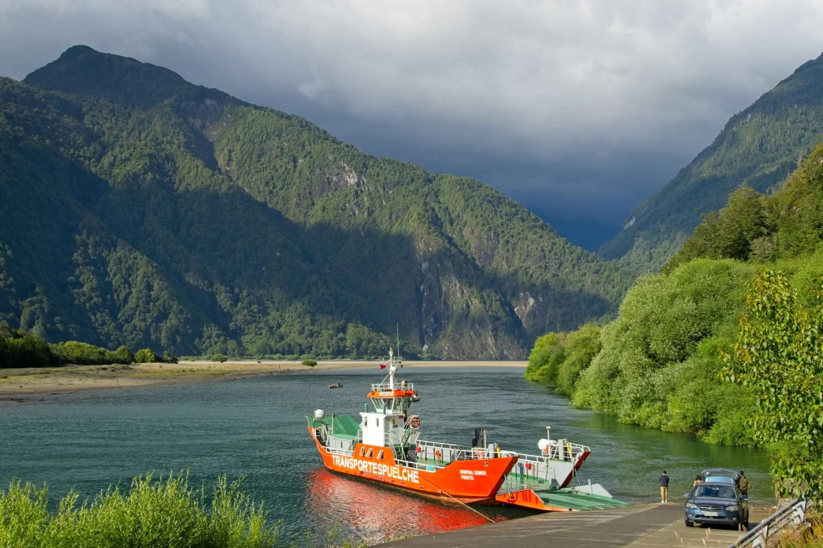
From Puerto Varas, I first rode on good asphalt along Lago Llanquihue to Ensenada. The initial rain eventually let up, and shortly before Ensenada the sky cleared so far that even the summit of the mighty, picture-book volcano Osorno came into view. What a great start. I then turned off toward Cochamó, which put me on a stretch I had already ridden back in February. At the Río Puelo, I left the familiar route behind in the direction of Lago Tagua Tagua, and I even made it in time, before sunset on day two of the tour, for the ferry across the lake. 2The ferry across Lago Tagua Tagua is a large car ferry. Prices and ferry times can be found on this website. On the other side was an extremely comfortable, fully enclosed waiting shelter, which I spontaneously picked as my place for the night. At some point an employee of the ferry company showed up to explain that sleeping there wasn't allowed – but unfortunately I didn't understand any Spanish that evening. With all the rain that came down during the night, I was quite happy about the comfortable, dry place to sleep.
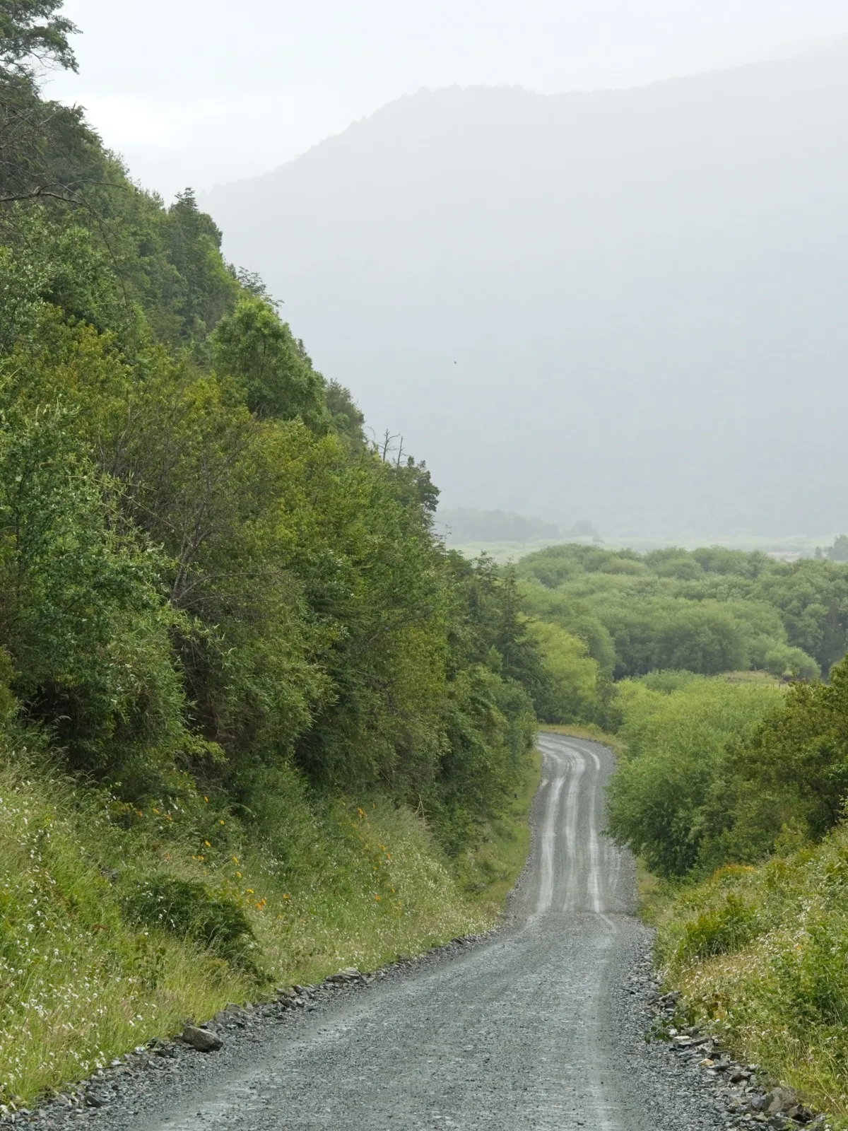
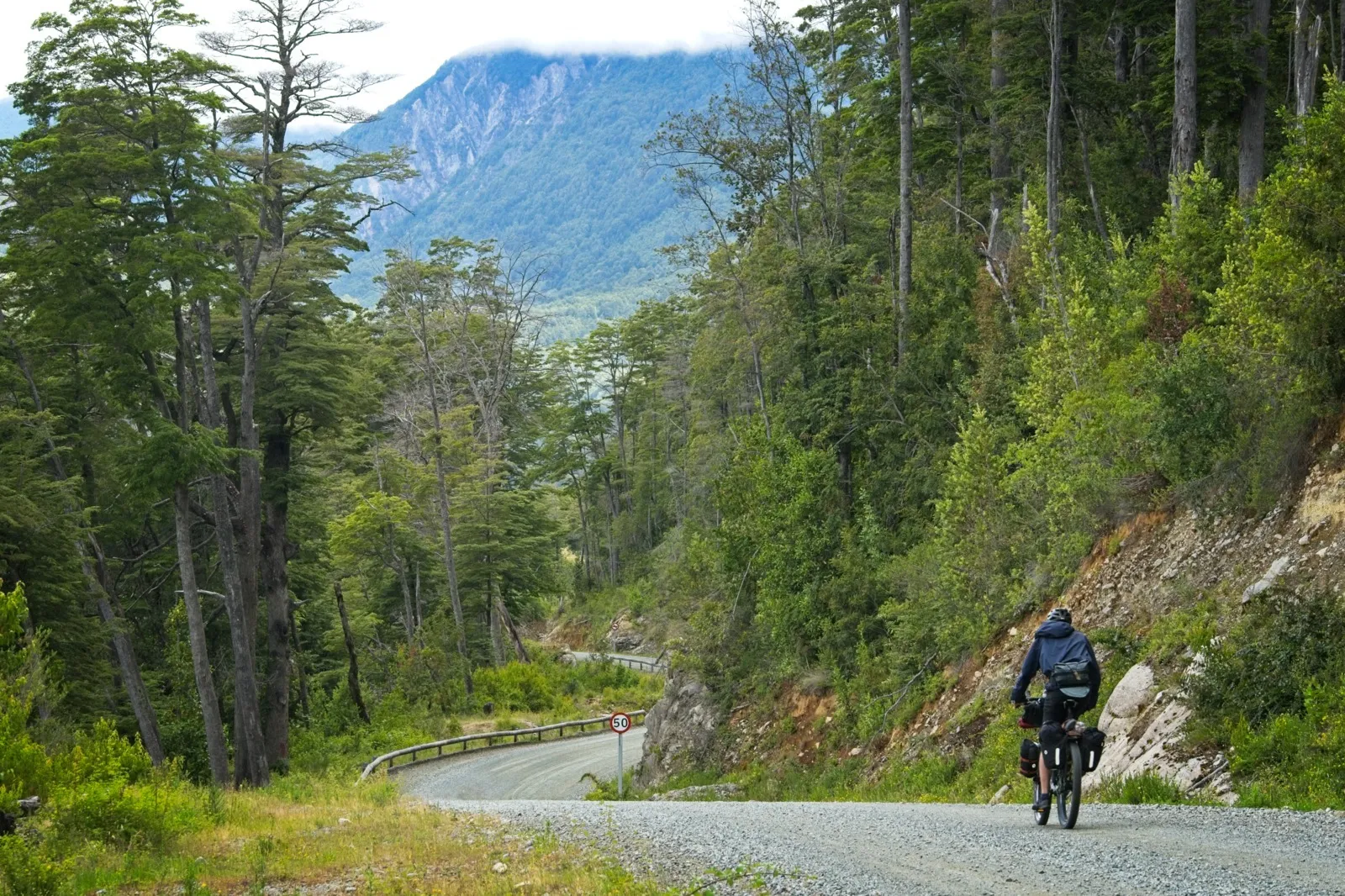
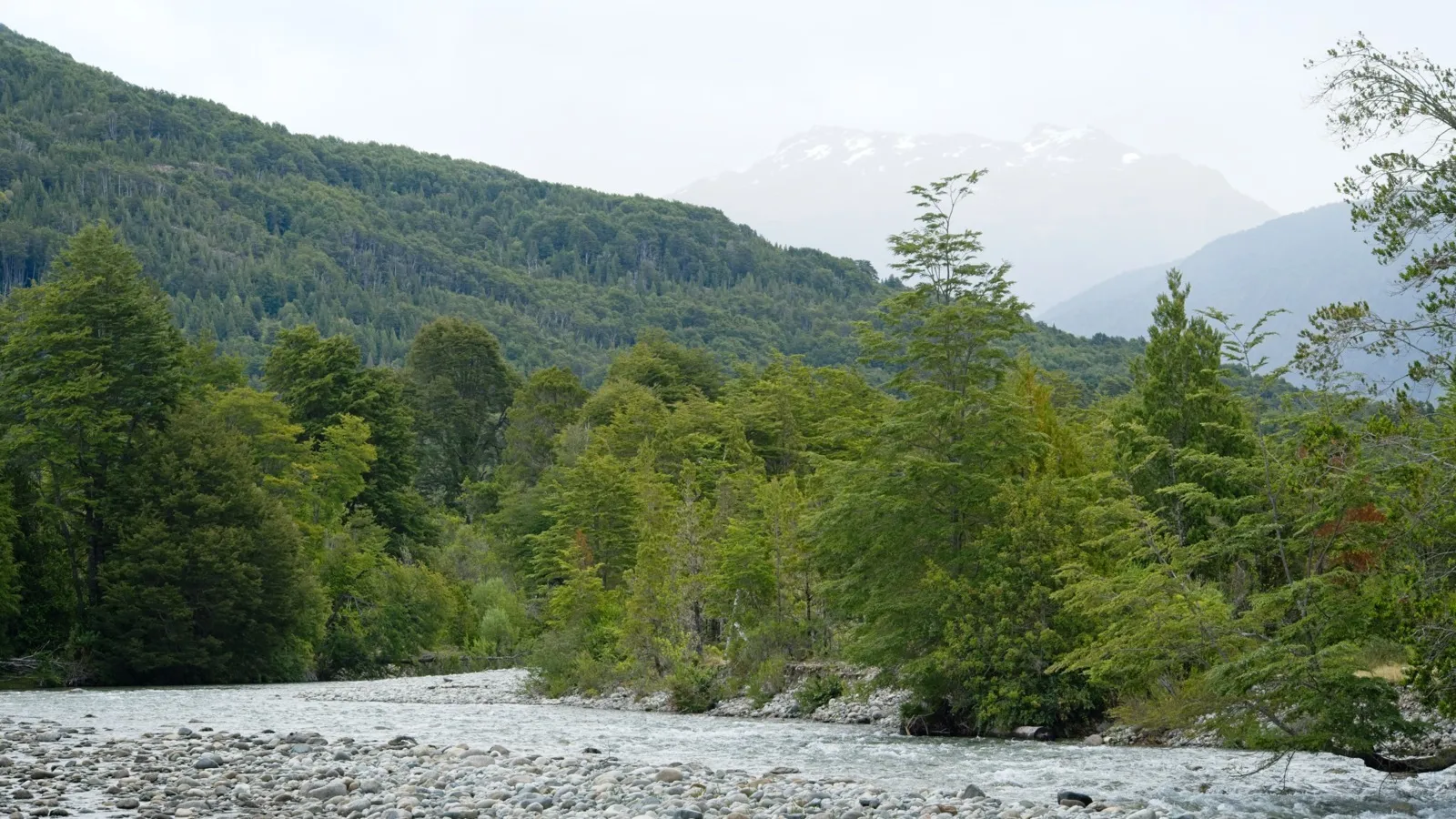
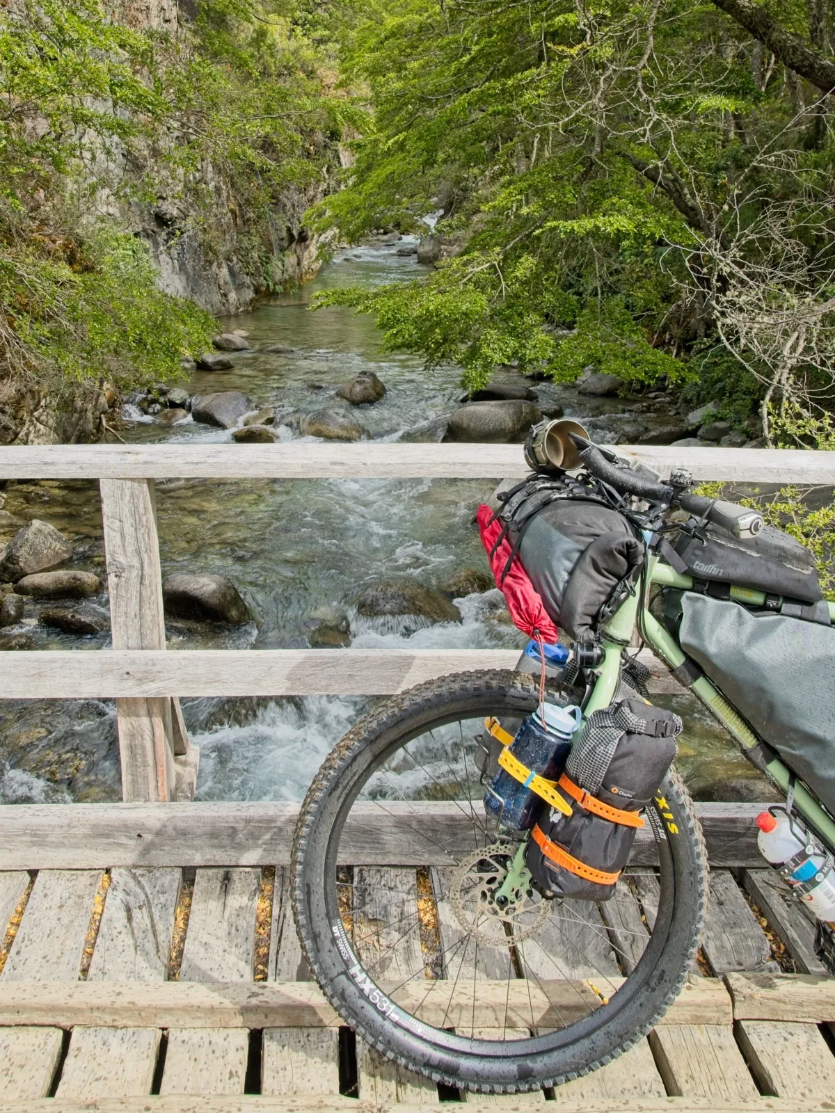
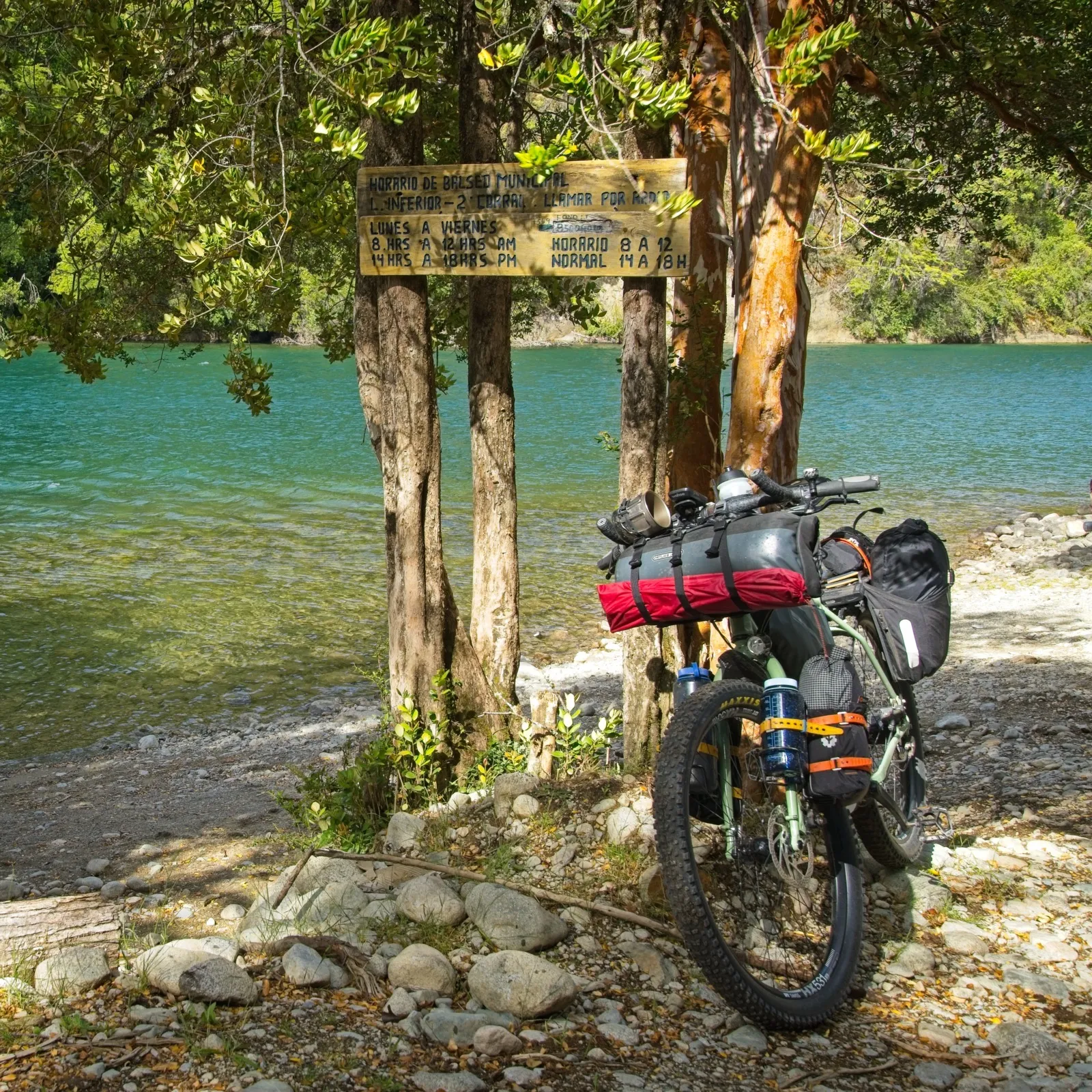
The next day started rainy, but cycling was still extremely fun. The gravel road was hardly used, since the Río Puelo valley is a dead end for cars, and along the 60 kilometers of road south of Lago Tagua Tagua there are only a few small settlements. The valley was densely forested; even the mountain slopes were covered in thick, lush green forest. Only now and then did I pass a pasture or a few wooden houses. The clouds drifted slowly through the valley and created an atmospheric mood. The road was in good condition and the climbs were quite manageable, so I made it to Segundo Corral by 5 p.m. – the end of the road. Right by the bus stop there was a narrow path closed off by a gate, which continued toward Puerto Casa Negra. It was only two more kilometers, but with a few first obstacles, this stretch took almost half an hour to reach the "puerto". The puerto was nothing more than an easily accessible spot on the riverbank where a boat can moor – no pier or anything else; just a wooden sign that listed the ferry times3Puerto Casa Negra: At this spot you have to wait for a boat that takes you across the Río Puelo to Puerto Lago Inferior. On site I found two phone numbers in total, both reachable via WhatsApp. And yes, surprisingly, there was even cell reception here. You can probably get a boat transfer on the weekend too, with a bit more patience, if you ask politely and are perhaps willing to add a few pesos.. According to the sign, the boat service would stop on Fridays from 6 p.m. for the weekend. Since I already knew this from Mark's blog post, I had been under some time pressure all day and was all the happier to have made it, because it was Friday. About ten minutes later a ferryman showed up and agreed to take me along.
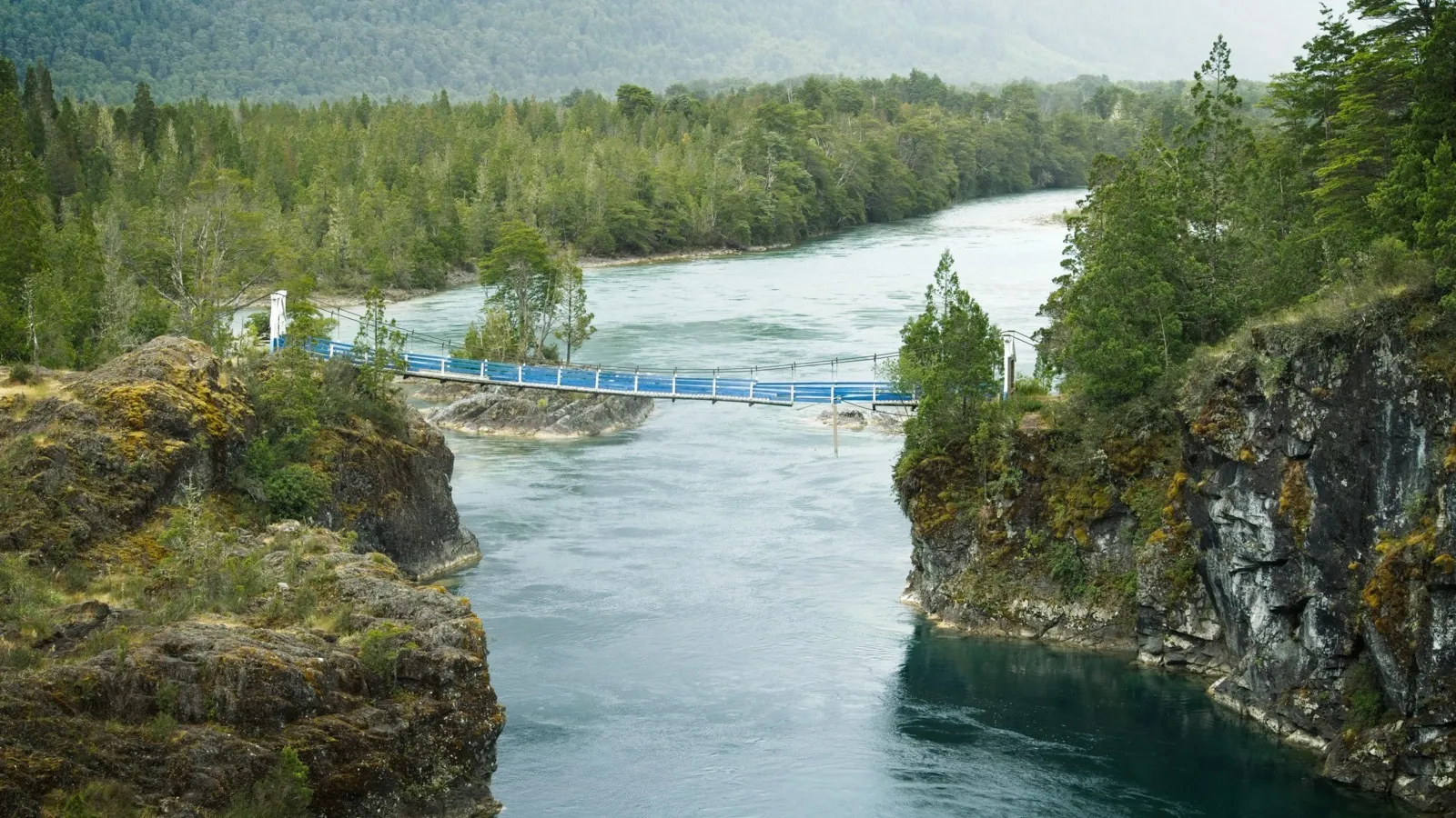
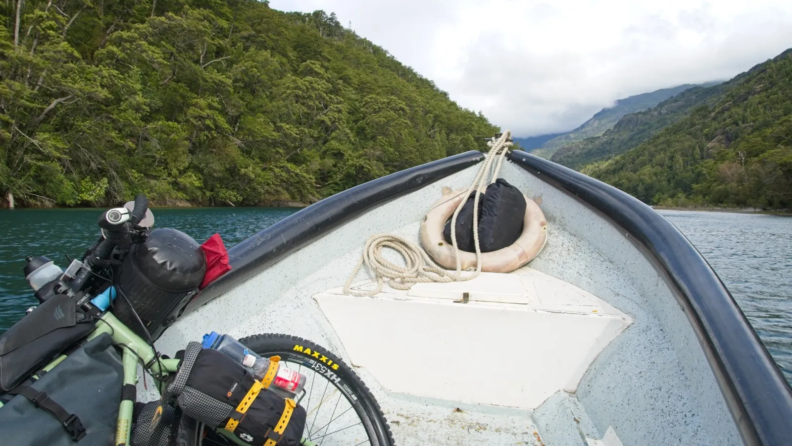
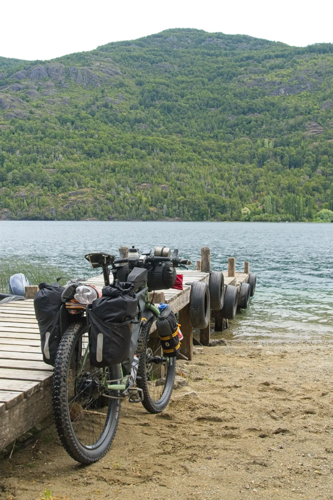
After the roughly three-kilometer boat trip, the first hike-a-bike section lay ahead of me. A steep path led about 80 meters up to the Chilean Carabinero station. Once at the top, I only wanted to let the Carabineros know that I planned to camp at the lake around the corner and officially leave Chile the next morning. But with rain forecast for the night, the Carabineros spontaneously invited me in, offered me a whole room with a bed and served a kind of goulash soup with a hot coffee in their cozy, warm kitchen. Outside the sun was shining; through the kitchen window you could see pigs running around, whose siblings had already made it into the soup; the trees swayed back and forth in the wind. One of the officers on duty claimed, not without reason, that his workplace was true paradise. His shift at the station lasts three weeks straight, followed by one week off to go home to his family. You can only get here on foot or on horseback, with the shortest connection to the road network being by boat along the edge of Lago Inferior. Carabinero stations like this one are the last official outposts of the Chilean state in the remote border regions of the country. On the hiking trail leading from here to Argentina, 20 to 30 hikers apparently pass by every day in season and in good weather, and occasionally one or two crazy cyclists. But note, everyone who would also like to leave Chile via this route: there are no immigration officers on site, so you have to fill out a Salvo Conducto form with the immigration authority online a few days in advance so that the Carabineros can stamp you out on site. 4The Salvo Conducto form can be filled out on this website. It is the last form on the page, and all foreigners without permanent resident status in Chile choose the option "Iniciar trámite sin ClaveUnica". This process is not necessary for entering Chile.
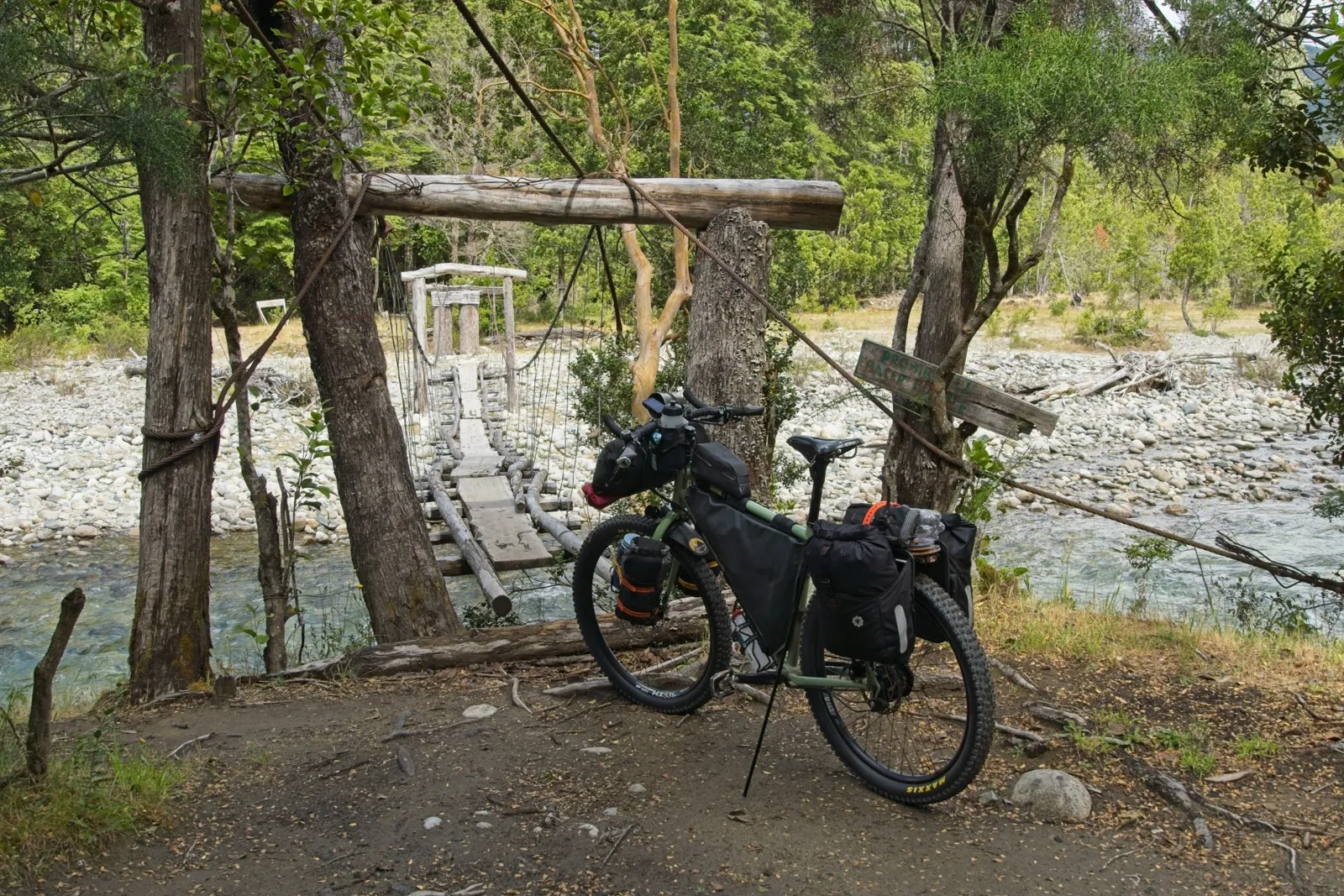
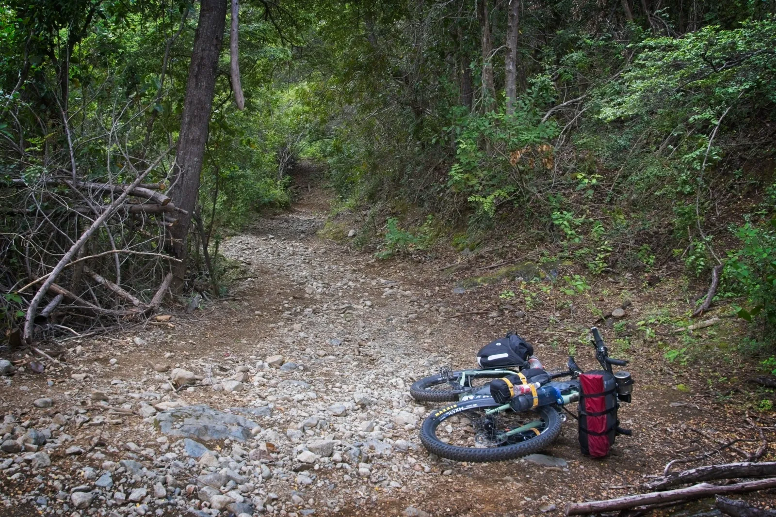
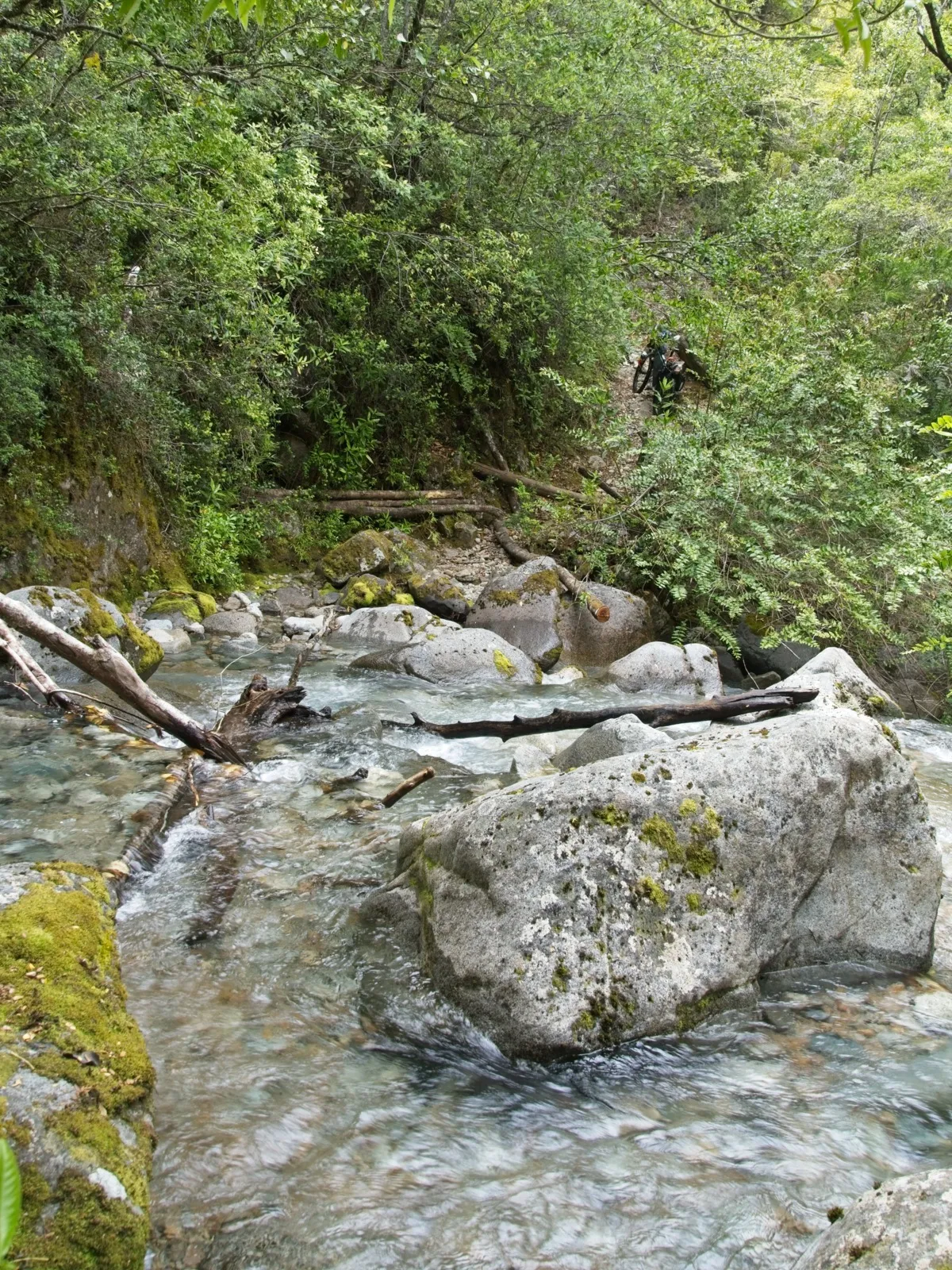
The next day brought sunshine all day long. The first stretch after the Carabinero station was still very rideable, but then the roughly eight- or nine-kilometer hike-a-bike section began. The path was very narrow, the bushes constantly brushed against my legs, and sometimes it was so tight that pushing became quite complicated. At some point I decided to remove the pedals from the cranks so I wouldn't keep getting them in my calves and would snag less. The bike had to be lifted very often. At one spot there was a mountain stream that couldn't be crossed with the bike over the existing bridge, because behind it lay a small rocky passage where you simply can't get through with a bicycle. Here, however, it was possible to take the luggage off and carry the bike through the stream by another route. Once on the Argentine side, the path becomes wider again and rideable in some places, but shortly before reaching Lago Puelo there is another, more complicated rocky passage where you practically have to balance the bike downward. Once you've managed that, the last kilometer is a wonderfully flat path through true paradise. With a classic touring bike setup and lots of luggage, this route is by no means recommended. If you're traveling lighter and have a certain tolerance for frustration, it's a great adventure. The views along the way are beautiful, and the remoteness makes the whole thing something special.
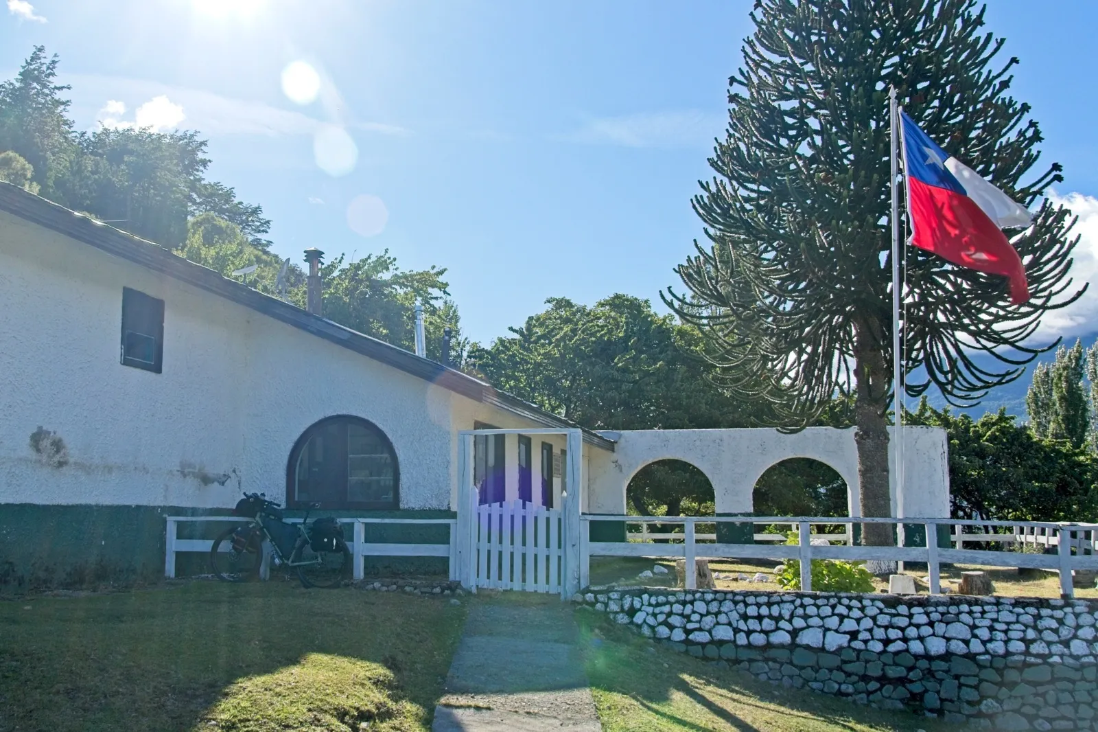
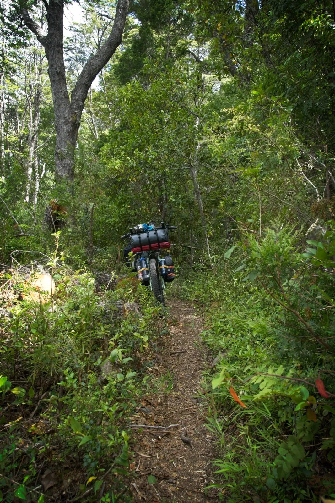
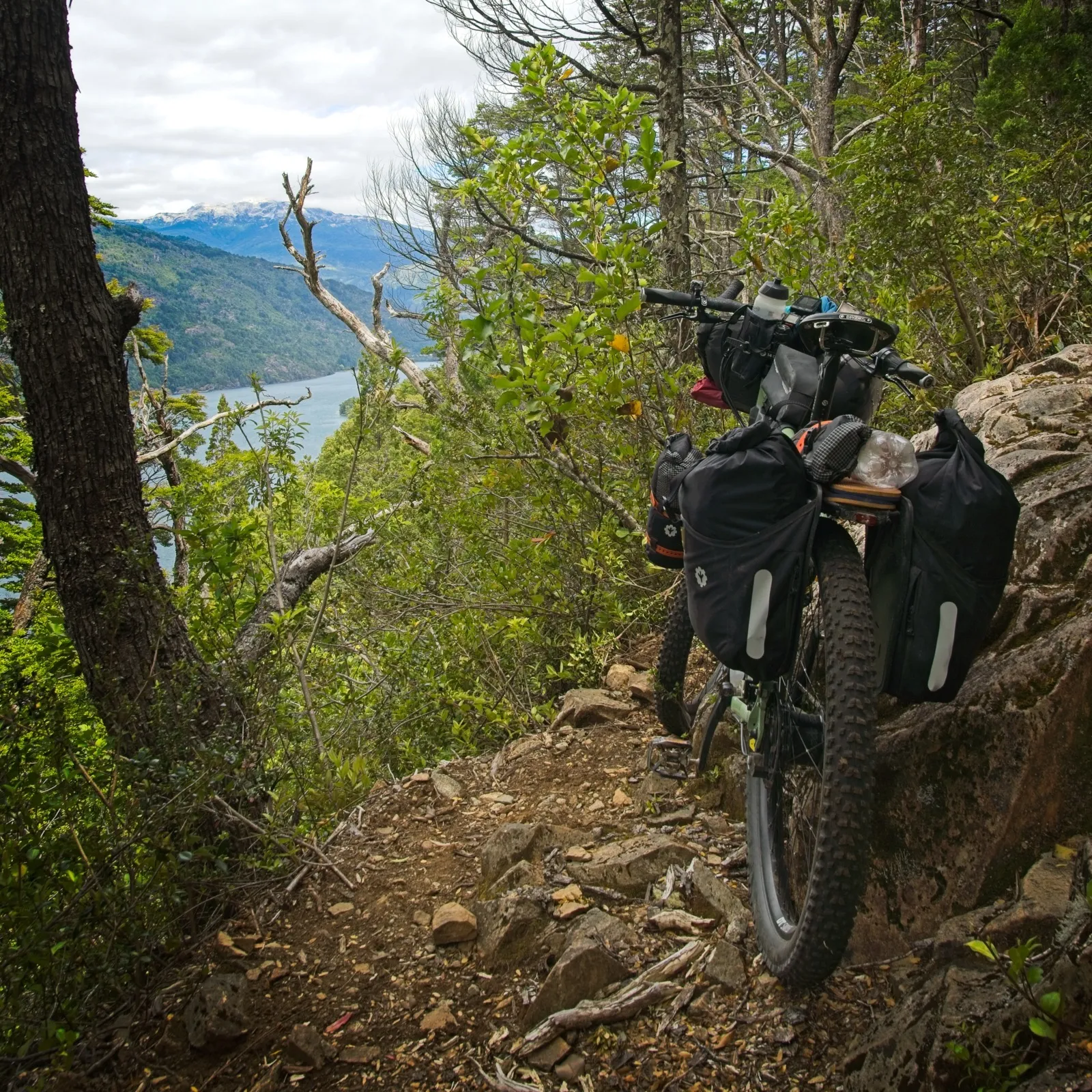
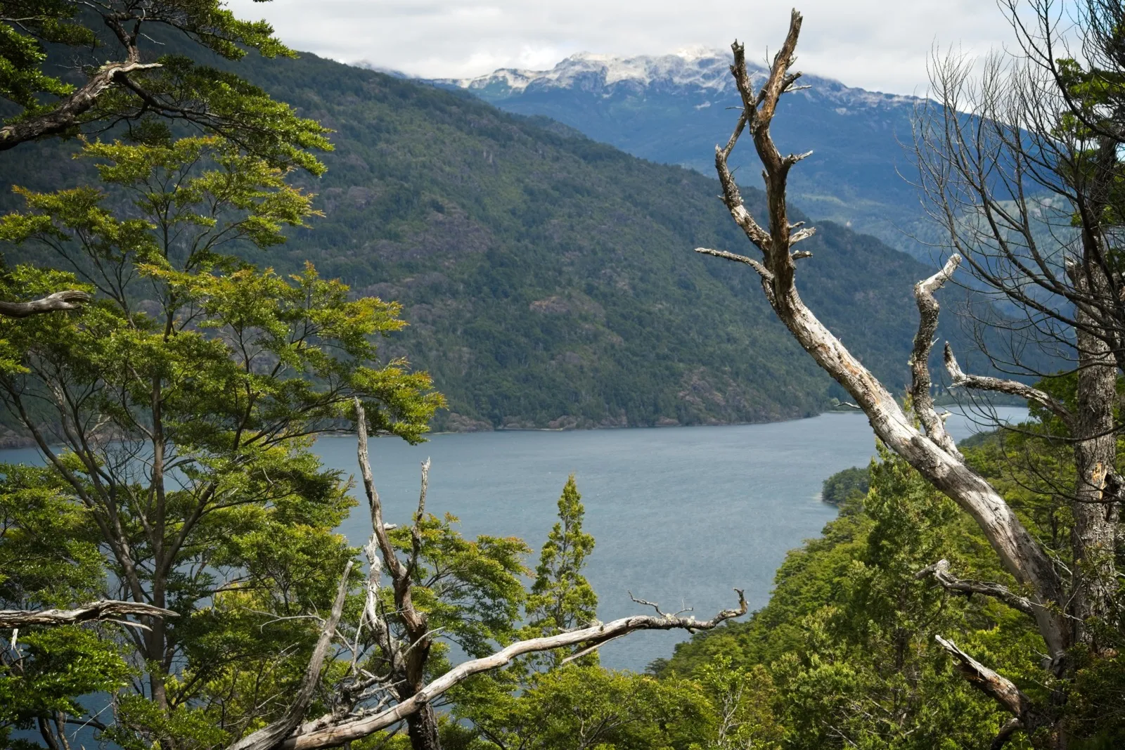
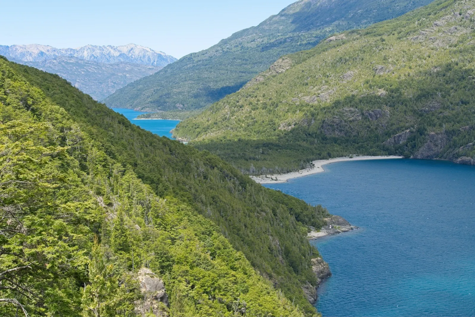
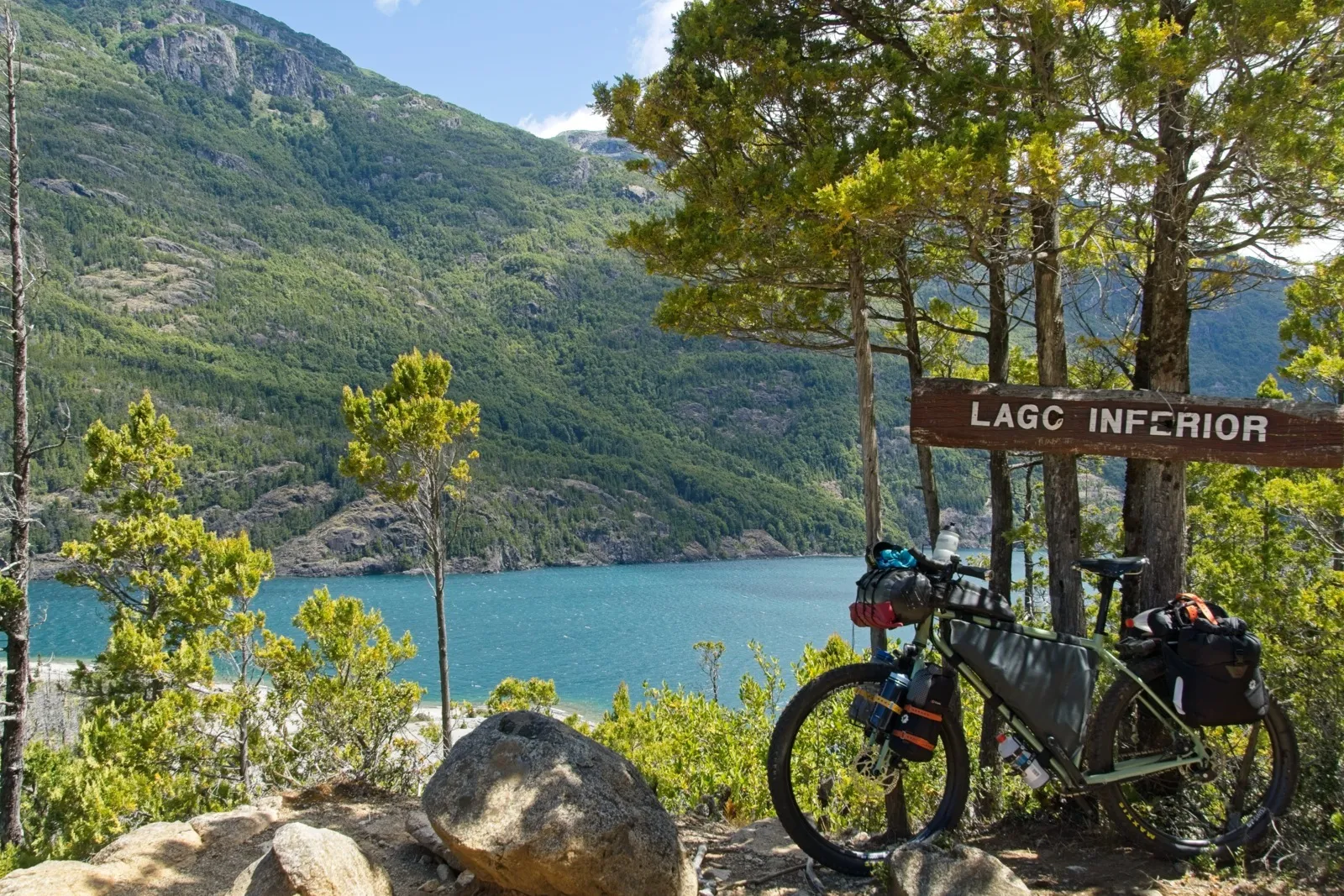
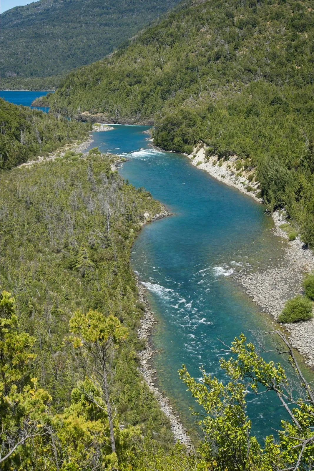
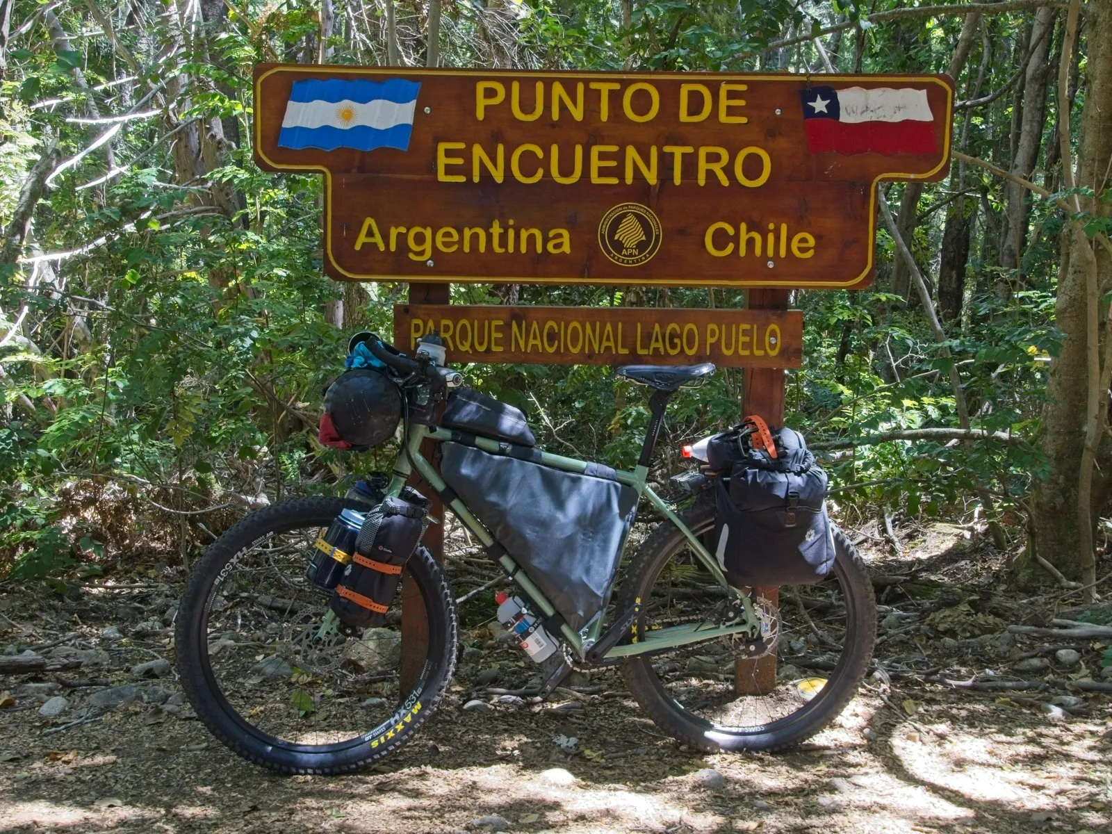
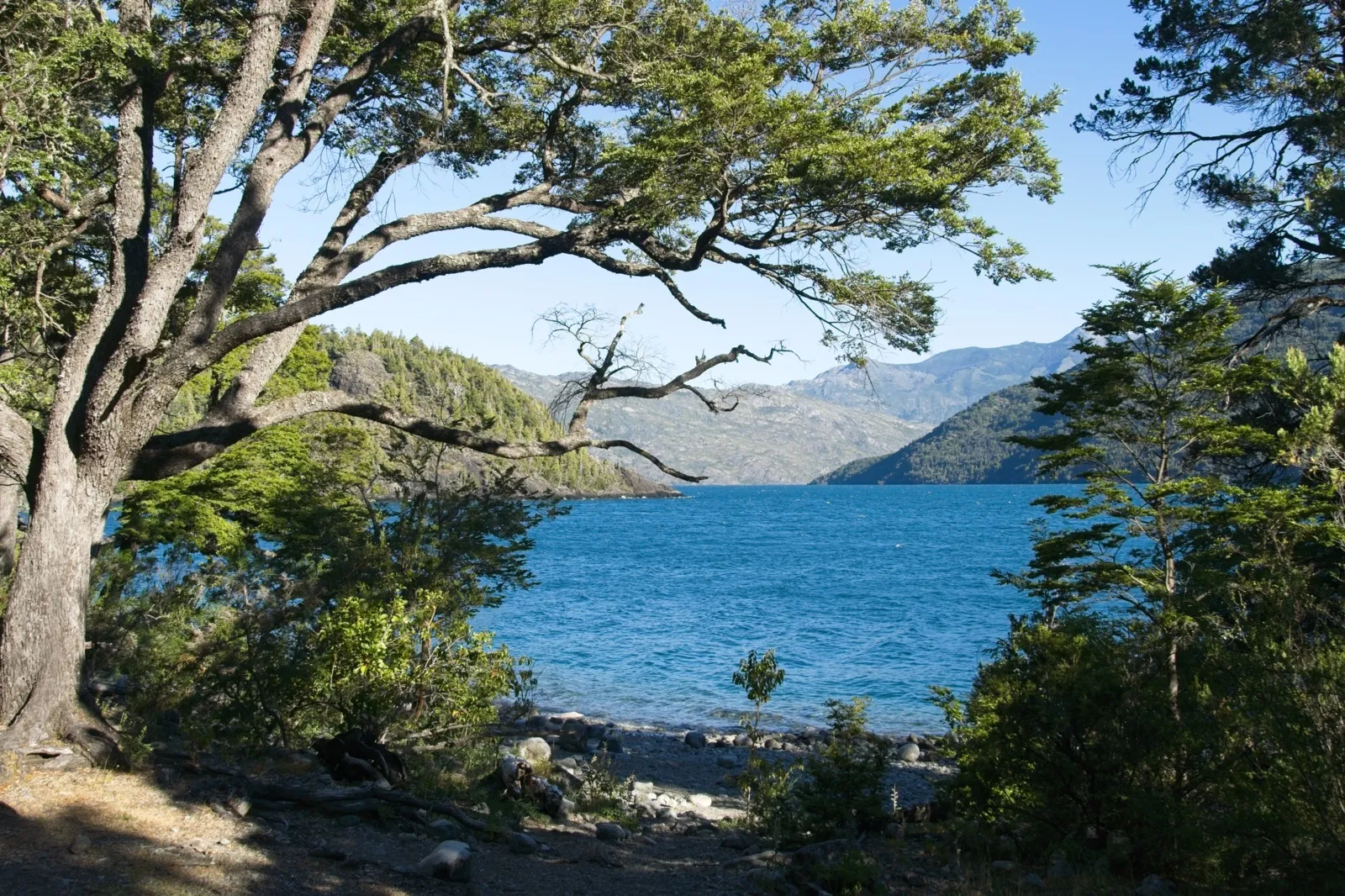
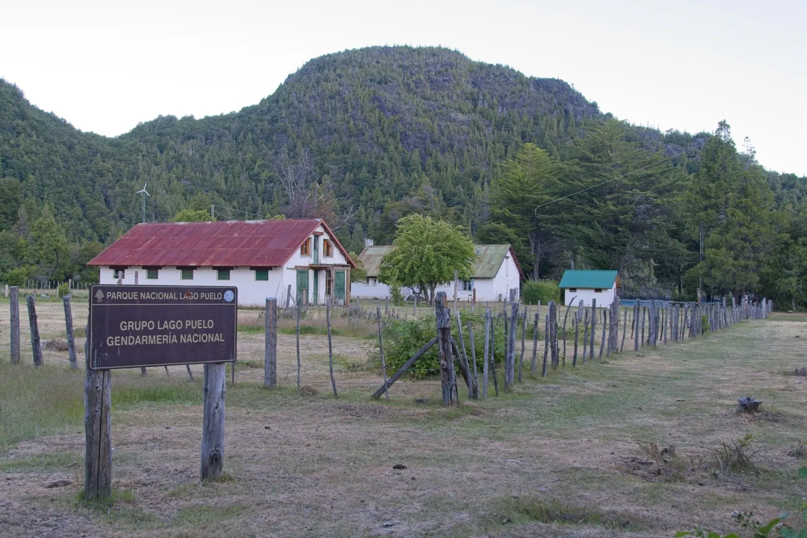
Right at Lago Puelo lies the Argentine Gendarmeria post, the counterpart to the Chilean Carabineros. It is set in a truly picturesque location and, fortunately, is also four kilometers from the nearest road, so it's still quite quiet there, though not as quiet as on the Chilean side. The area is part of Lago Puelo National Park and is actively used by hikers. Right next to the Gendarmeria, camping among the trees on the shore of Lago Puelo is permitted, an option that some nature lovers took advantage of. It was extremely calm and peaceful, though, just like in paradise.
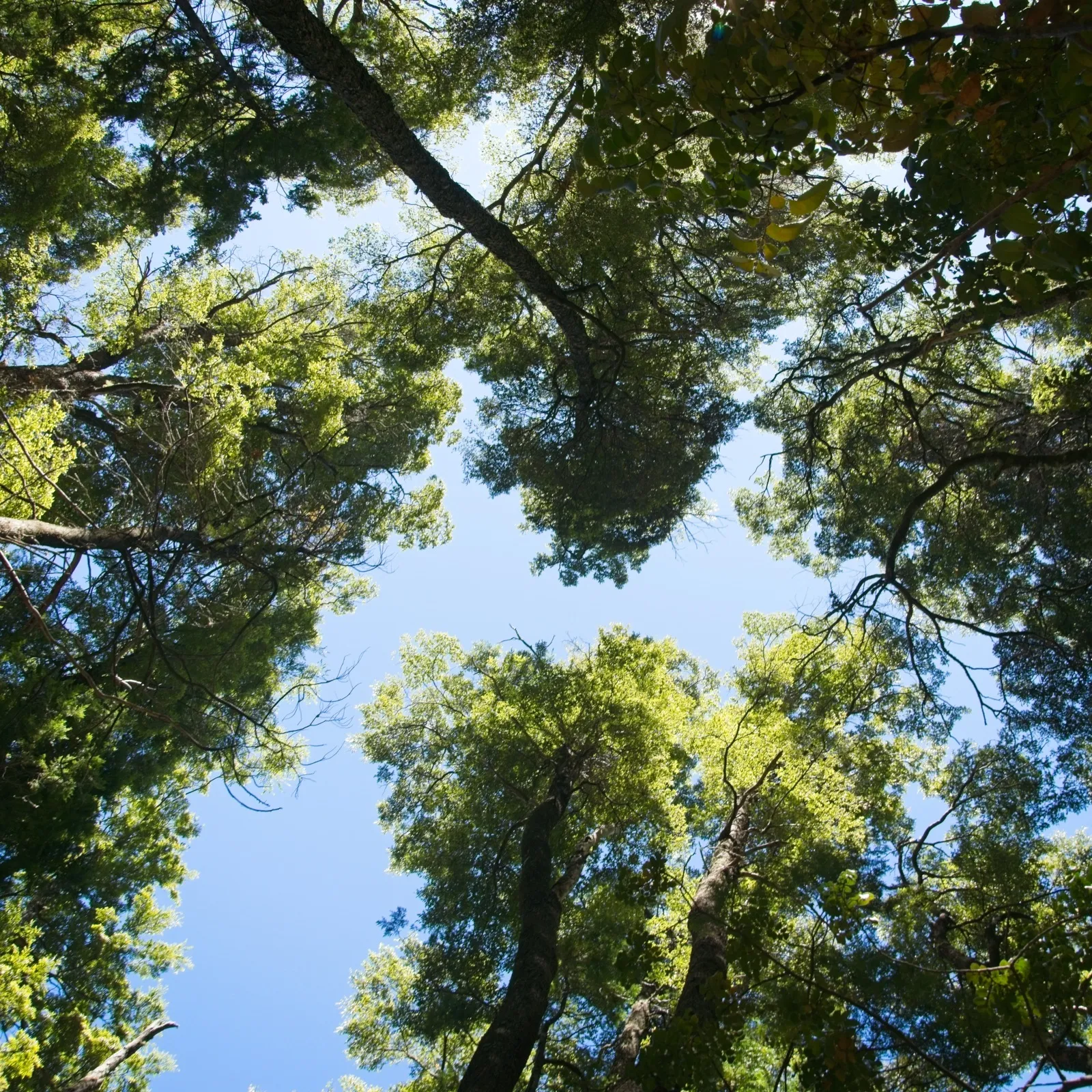
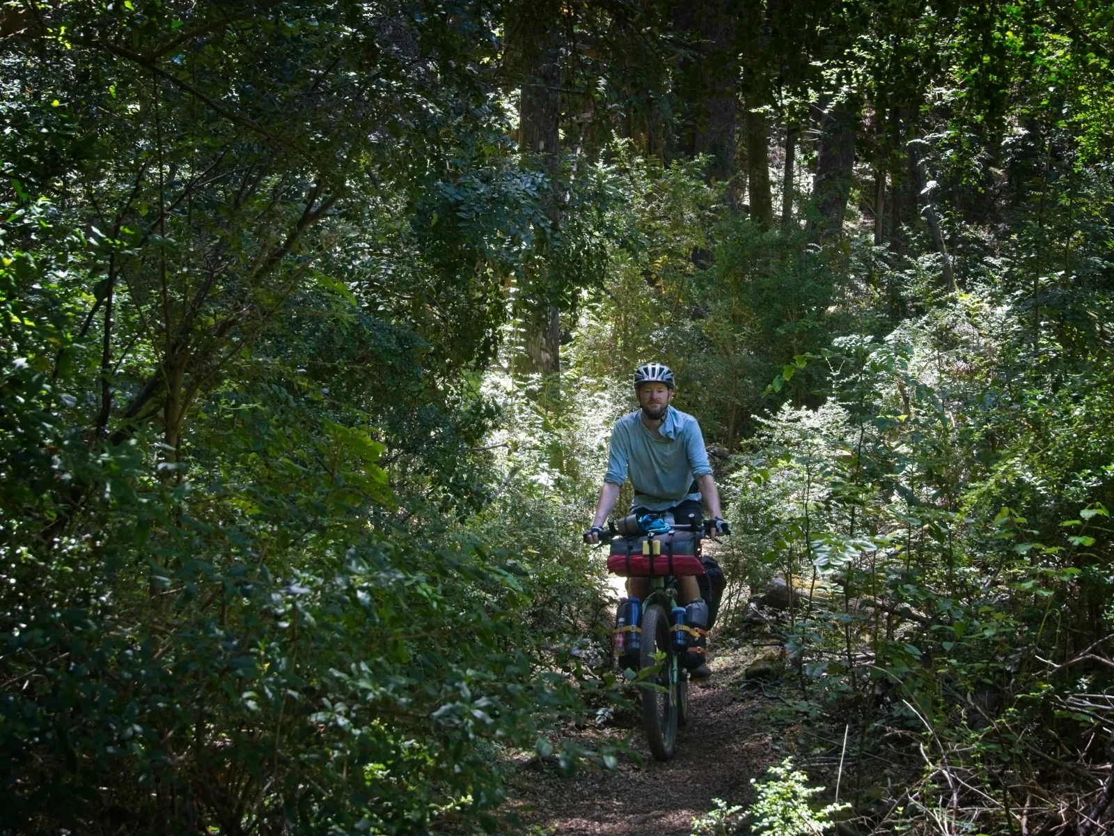
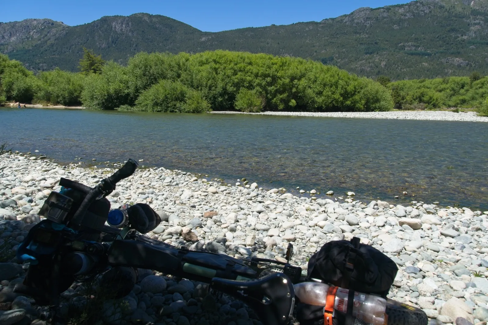
The following day, a somewhat longer, steep climb lay ahead of me, on which riding was out of the question. At least on this section the path was no longer quite as narrow, and there were almost no lifting passages. Only shortly before the village at the end of the trail was there another nasty surprise: the Río Azul. This river was quite wide and in places more than knee-deep. Its current wasn't very strong, but I still had huge respect for it. When a few hikers crossed from the other bank at some point, I asked briefly for help and was then able to carry the bike to the other side with a friendly helper – something that made me feel definitely a bit safer. Neither the Rohloff hub nor the SON hub dynamo should be submerged, which is why pushing was absolutely not an option, and with the current it would probably only have led to being swept away.
Arriving in the village of Lago Puelo, I finally had asphalt under my wheels again, but other problems to solve. I needed money, Argentine pesos to be precise. Because of the horrendous fees in that country, ATMs aren't worth it for travelers, so you either use Western Union or exchange US dollars. I had the latter in my luggage; after all, a year ago they were still in hot demand in Argentina. But this time it was harder. I asked around and went from shop to shop, but without success. Only a day later, in another town, did it finally work out.
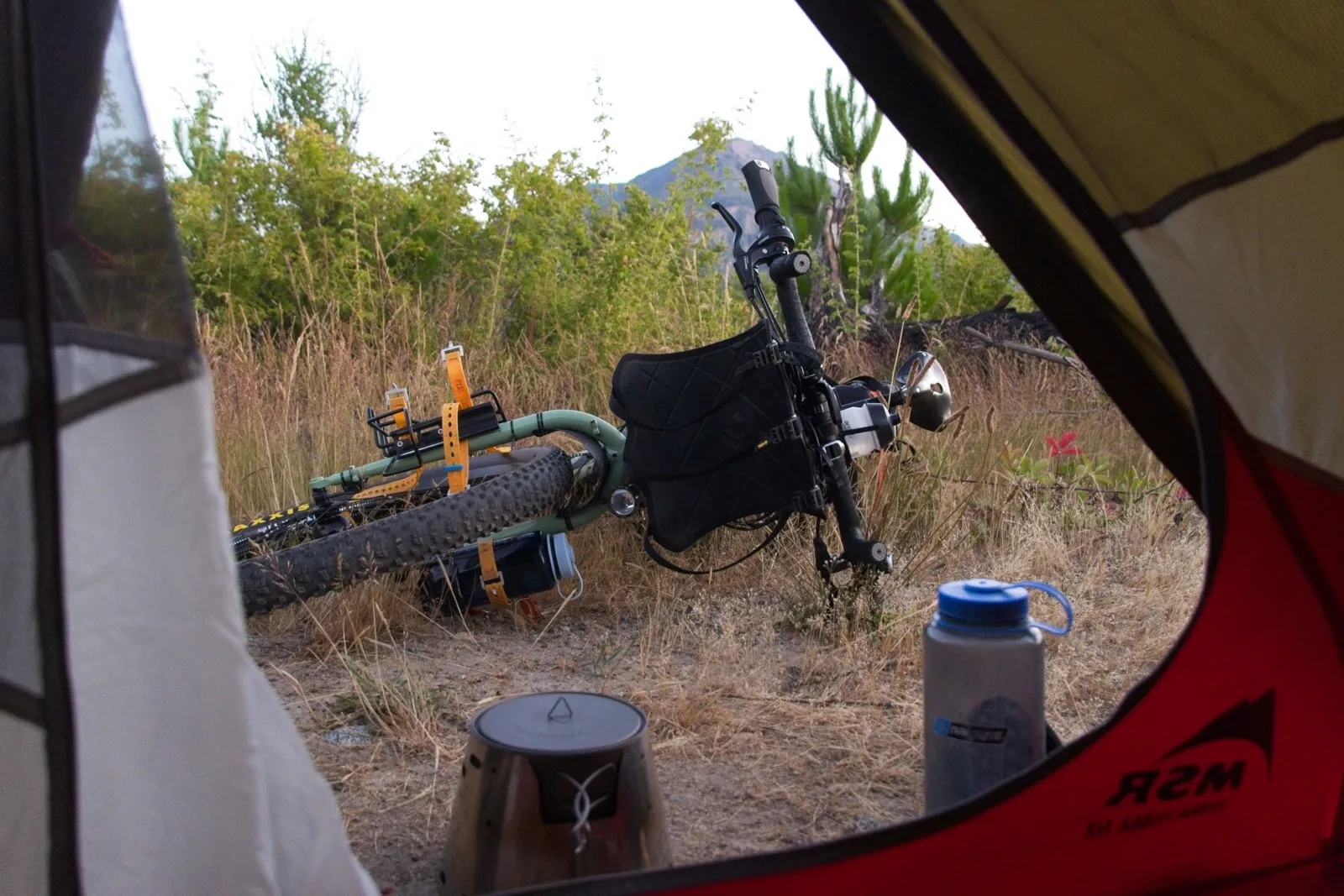
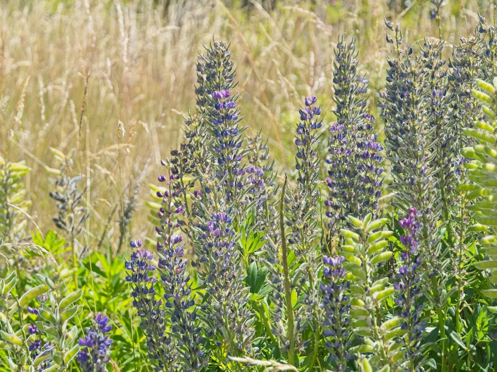
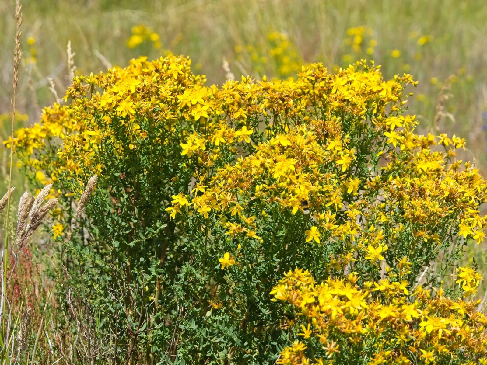
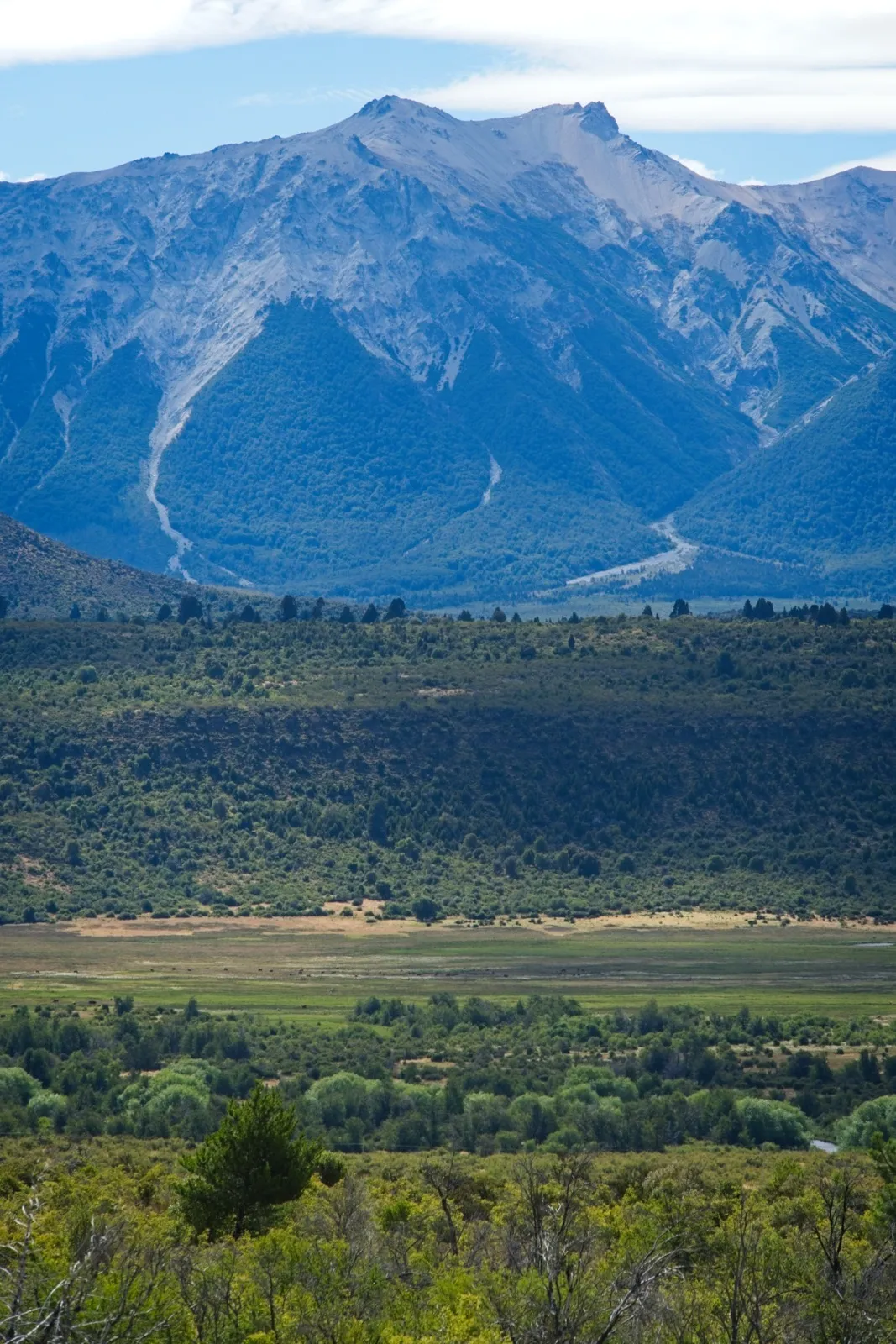
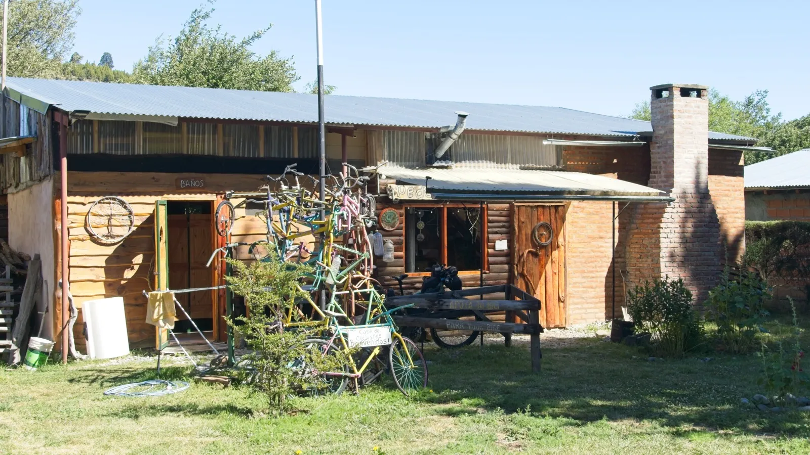
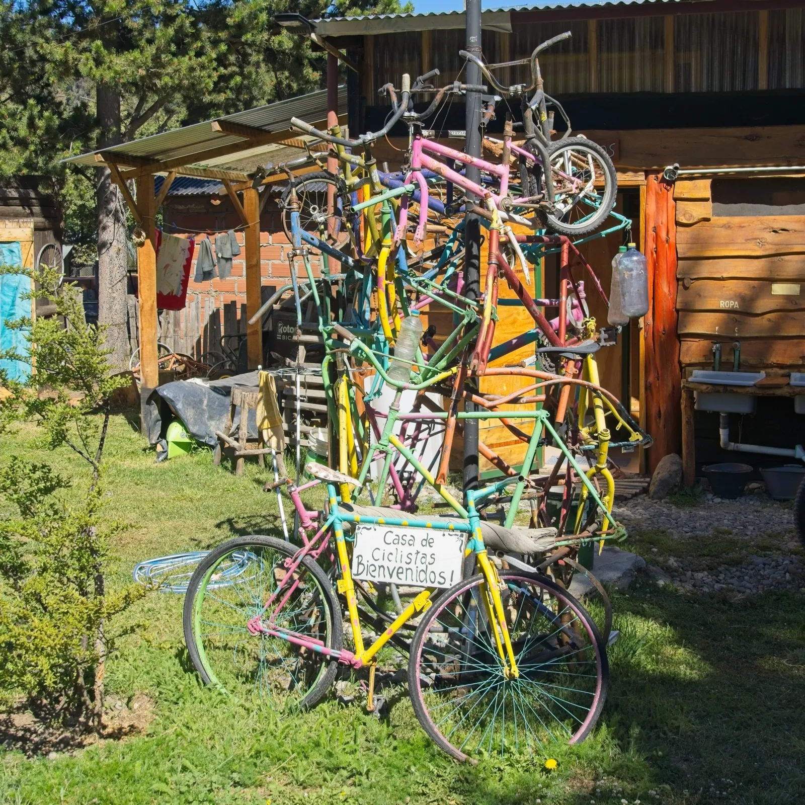
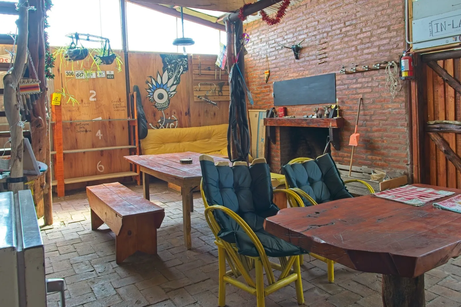
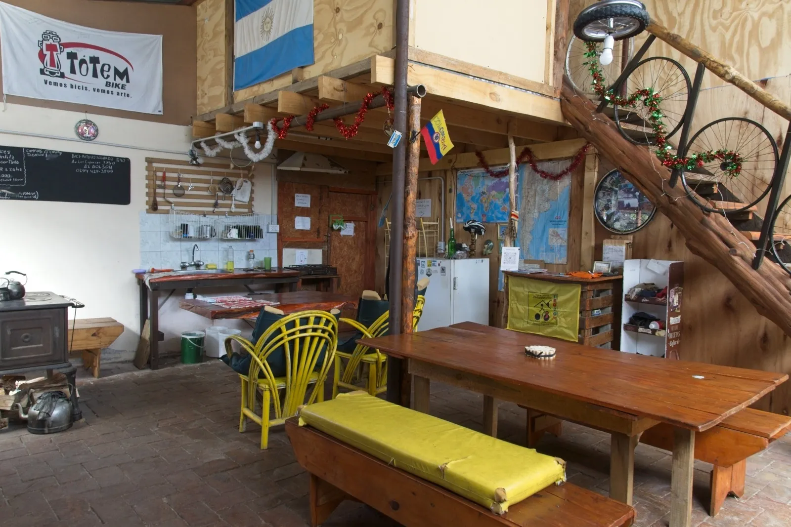
For the next kilometers I followed Ruta 40 – a road that is almost a national symbol in Argentina. In exactly this corner of the country, however, Ruta 40 wasn't really spectacular, but terribly busy, and I was glad to leave it again soon at the turnoff toward Cholila. Near this village lies the settlement of Villa el Blanco, where Jorge and Mariela have opened a Casa de Ciclista5Before visiting the Casa de Ciclista "Pedalgónicos", you should get in touch with Jorge and Mariela beforehand, for example via Instagram or WhatsApp (the number should be available by asking around in cyclist circles).. Casas de Ciclistas can be found here and there in all sorts of places across South America, where passionate cyclists open their doors to bicycle travelers. Usually it's a small lodging just for cycle travelers, used on a self-catering basis, with a donation box for the running costs. Jorge and Mariela are cycle travelers themselves, actually live in a small town a few kilometers further north, and have created a little paradise for bike travel in Villa el Blanco, very close to Los Alerces National Park: a garden with a camping meadow, a fireplace-heated common room with a kitchen, above which there is a mattress loft, and a small sanitary block as well. Everything is lovingly decorated with bicycle parts. On the last kilometers before the Casa de Ciclista there are even yellow-painted stones as waymarkers, showing the remaining kilometers. It really is a dreamlike place where, as a bike traveler, you can relax in complete peace. Thank you, Mariela and Jorge, for your efforts and hard work in creating this cyclists' paradise!
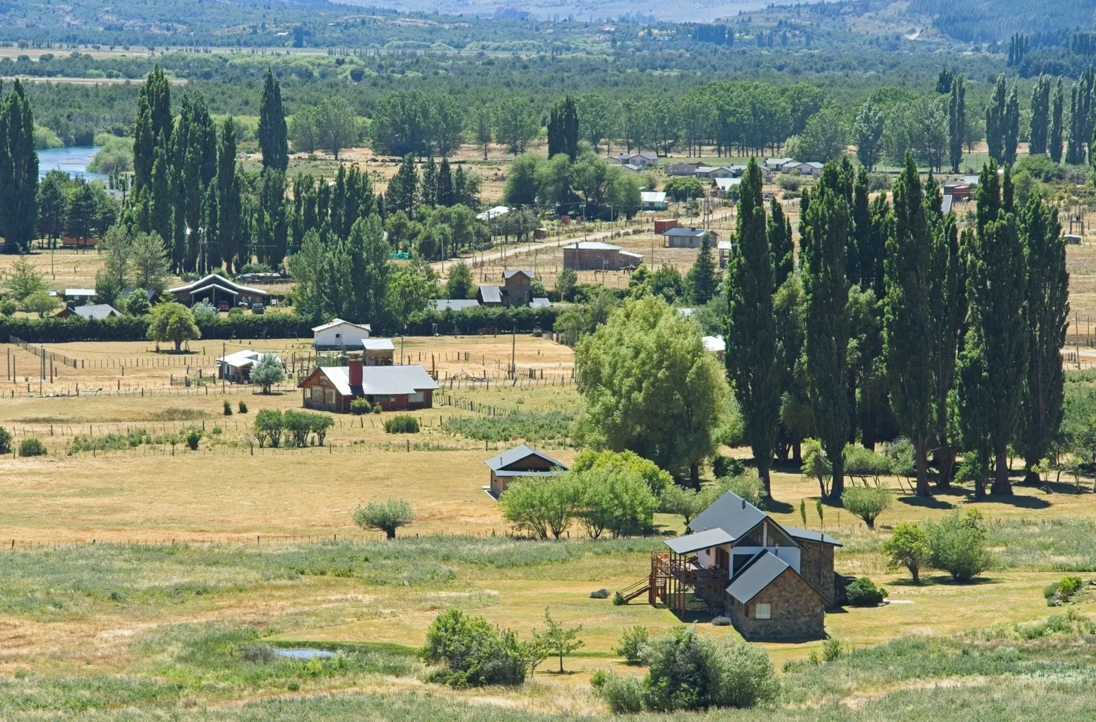
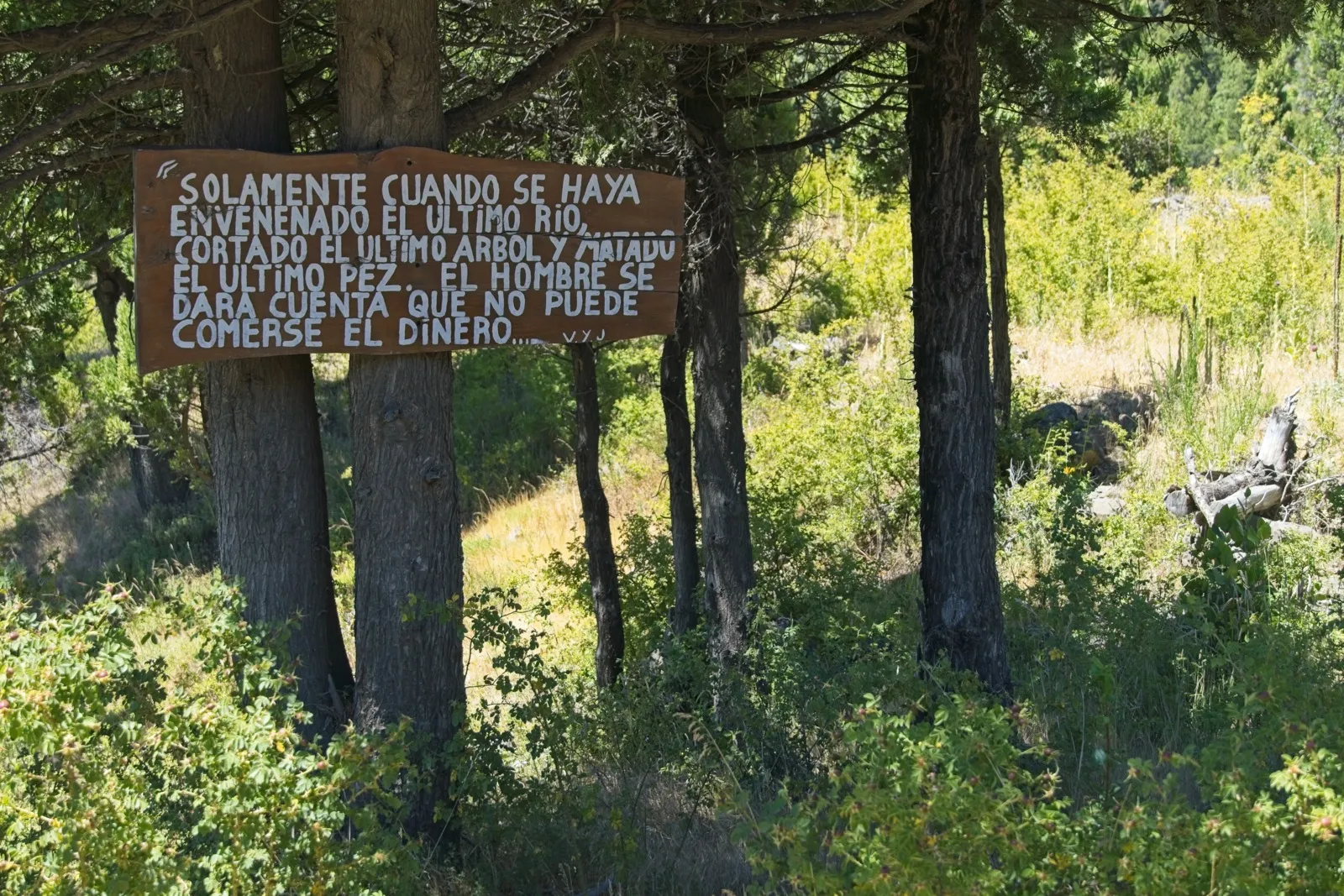
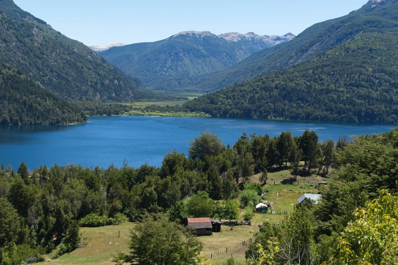
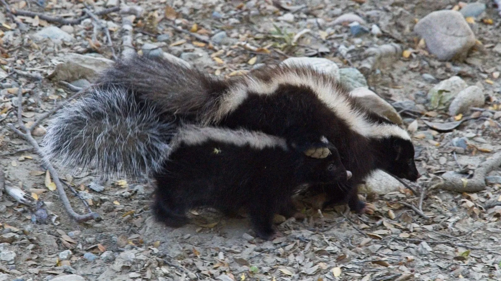
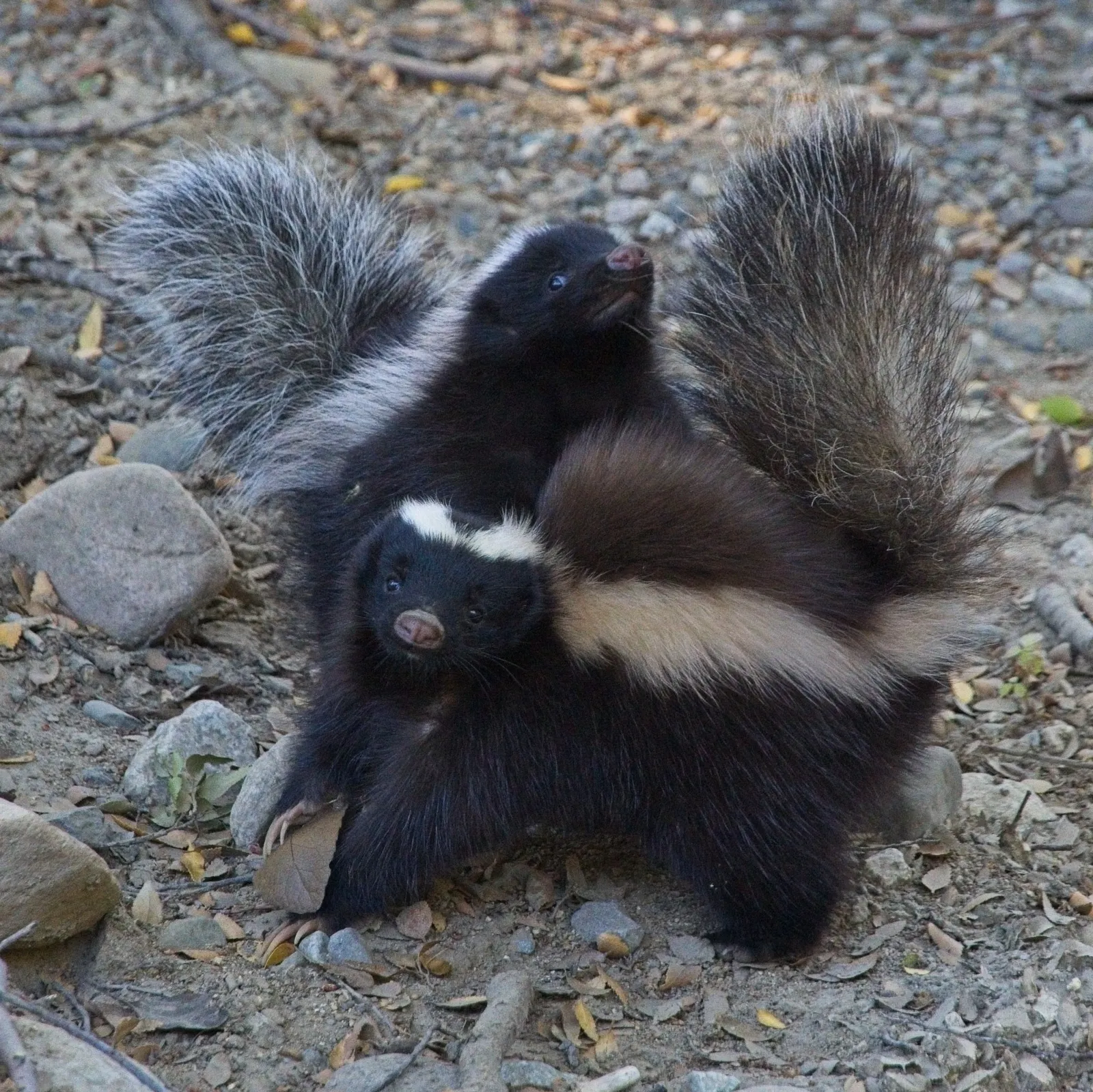
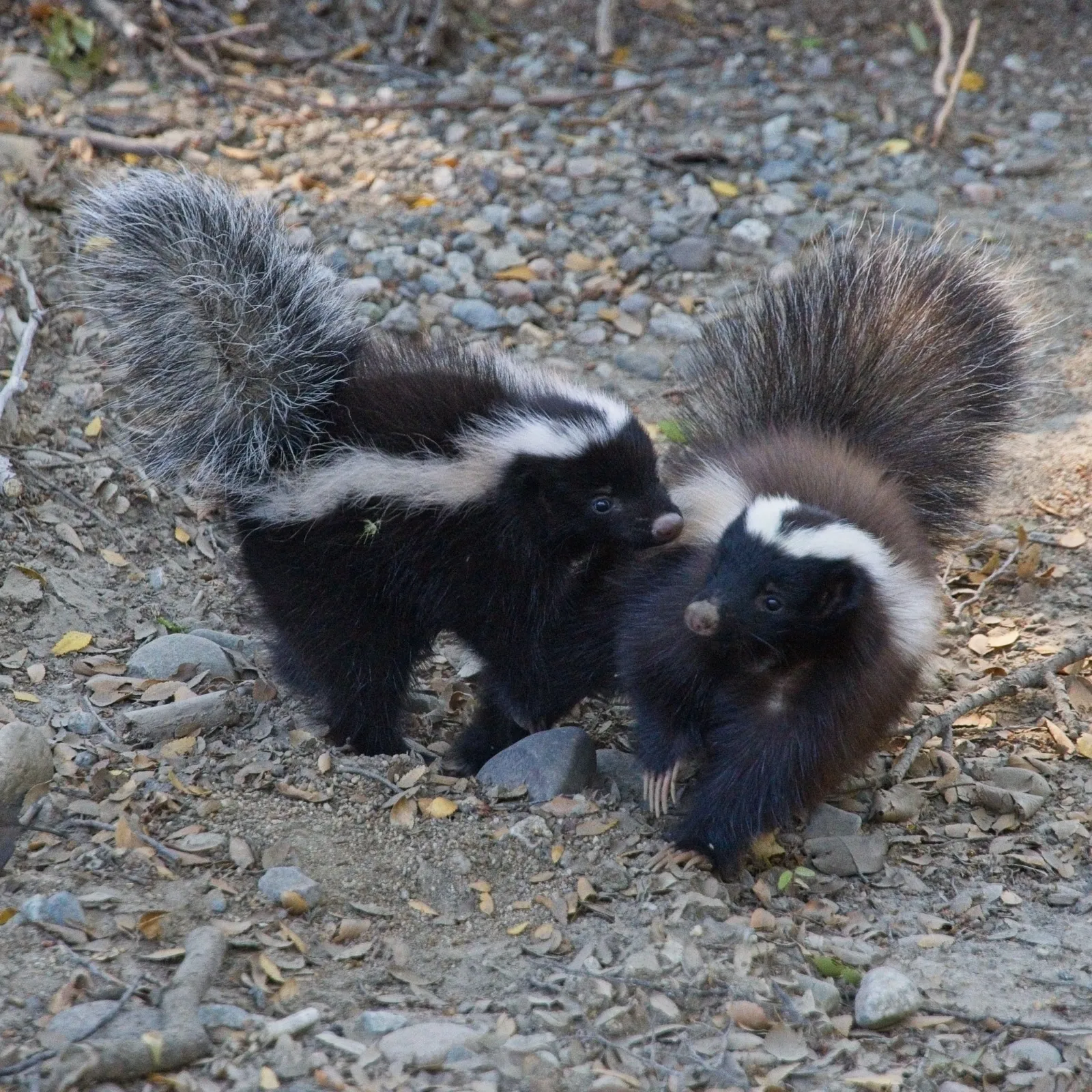
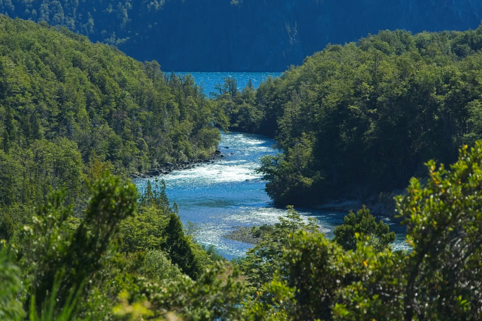
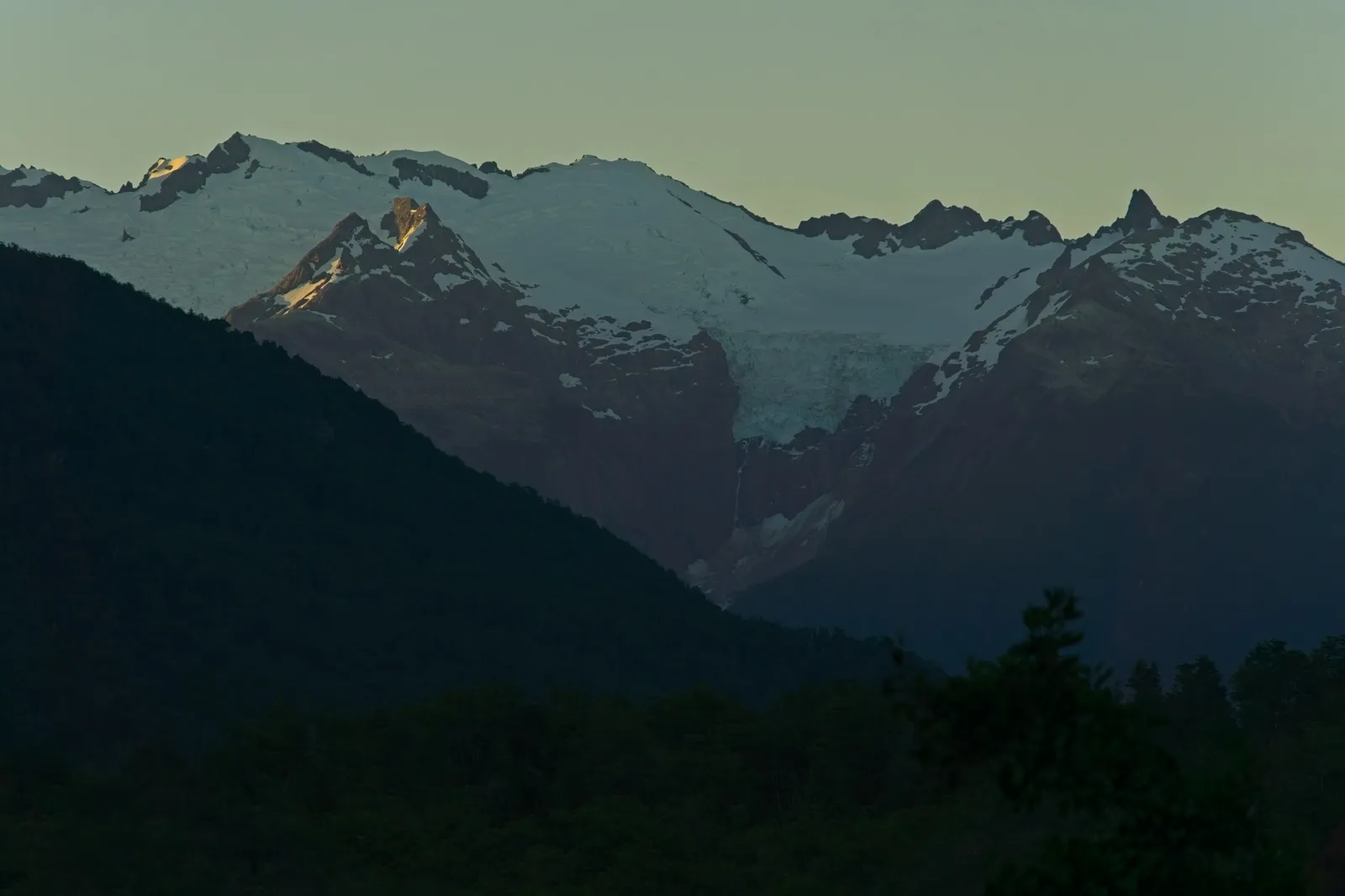
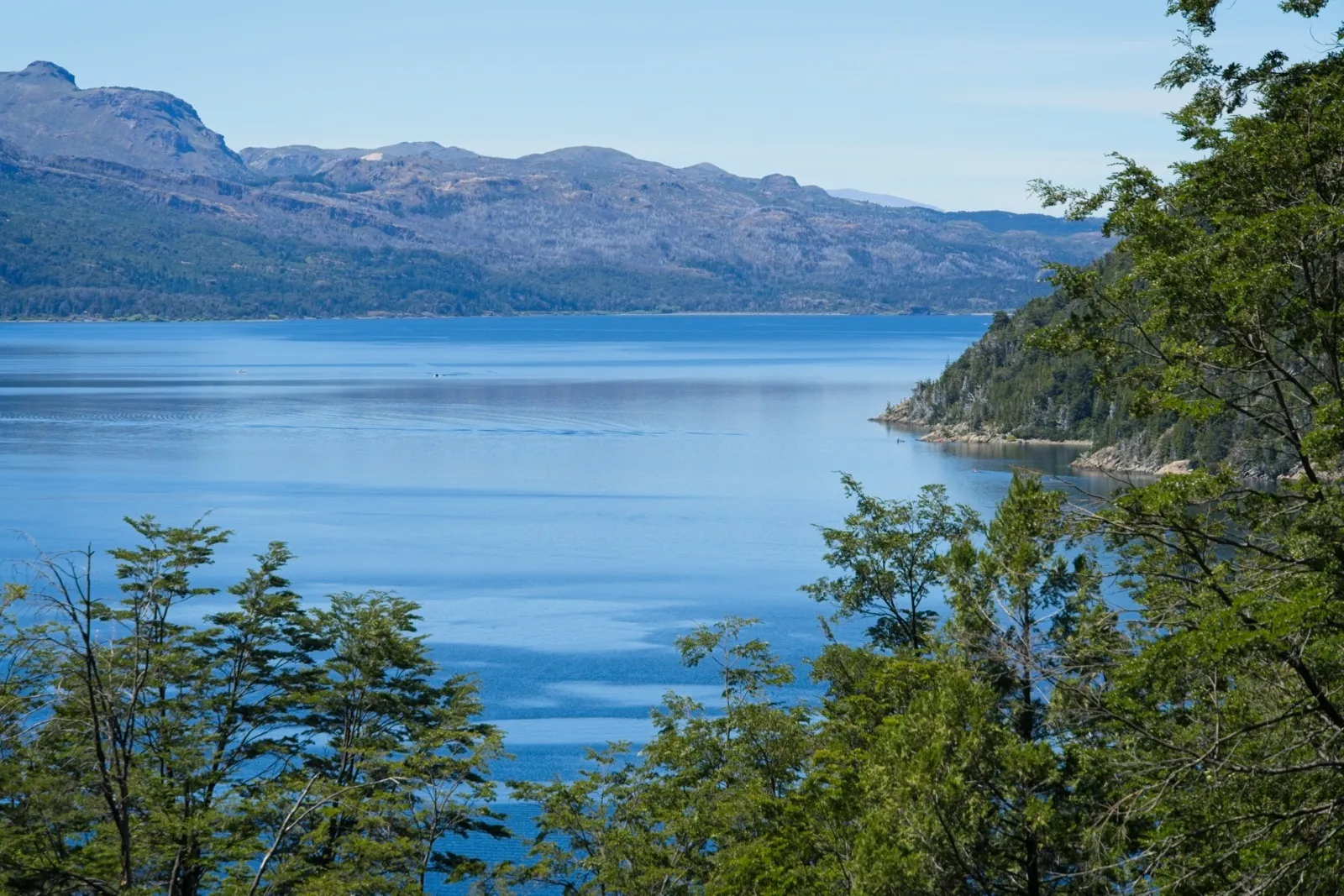
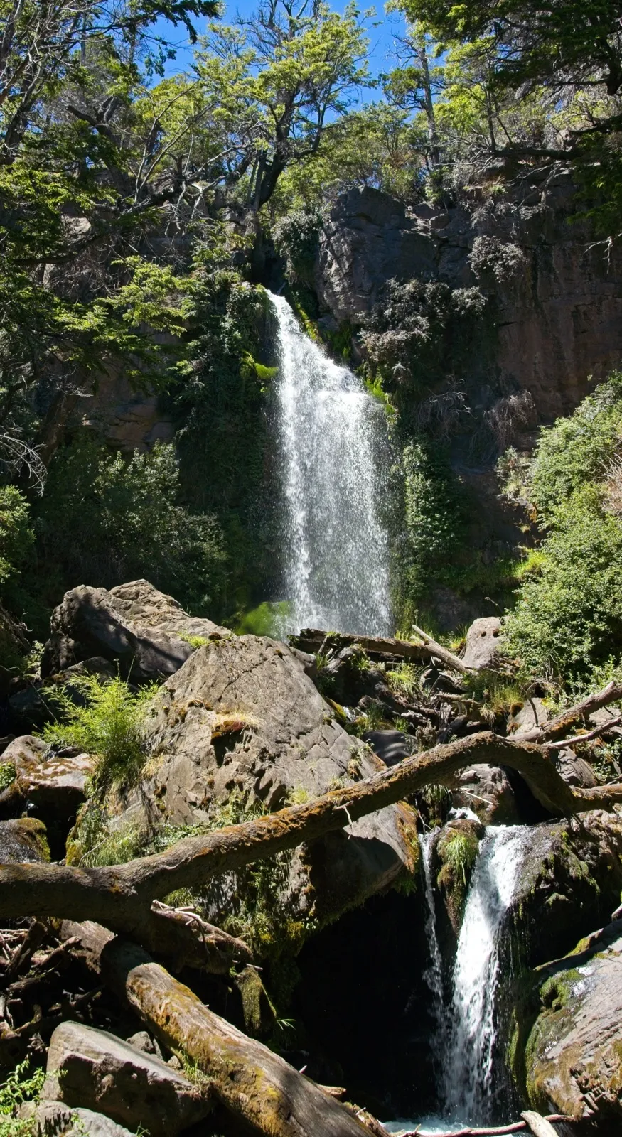
From Villa el Blanco it is only about 30 kilometers to the entrance of Los Alerces National Park. Through the eastern part of the park, a narrow road runs along several lakes to Villa Futalaufquen and from there on to the small town of Trevelin. Along the road there are plenty of great views of the lakes nestled between the mountains. Hiking trails branch off at various points and there are several small campsites in the middle of the park, so you can enjoy the natural spectacle overnight as well. Clearly, you won't be all alone there in summer. Compared with Ruta 40, the road through the park is certainly the nicer alternative, even if you have to pay an entrance fee. Between all the lakes and mountains lies dense, ancient forest. The park's namesakes are among the tree species found there: the Patagonian cypresses, or alerces in Spanish. These trees were on the verge of extinction because of their sought-after wood, but are now protected – especially in this national park. Some specimens are said to be up to 2,600 years old. 6Wikipedia: Los Alerces National Park Tragically, the park is repeatedly hit by forest fires; back in 2024, several hundred hectares of forest in the national park went up in flames due to a heatwave. About one or two weeks after my visit, it unfortunately happened again. Not only was Los Alerces National Park on fire, but also areas further north in Chubut Province.
Trevelin – Lago Verde
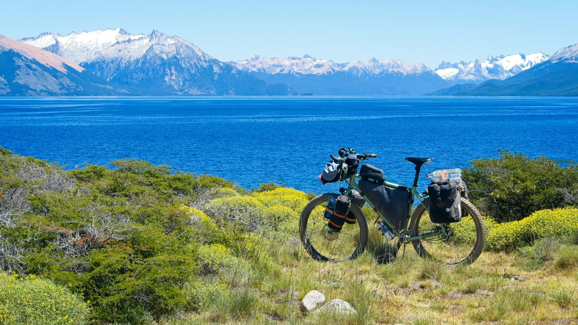
In Trevelin I decided to follow another route by Mark and Hana. 7Mark Watson's blog post with a route description for Trevelin - Coyhaique For the next four days, countless kilometers of deeply rutted Argentine calaminas were on the program. Calamina is the word for corrugated metal. On gravel roads, these permanently lined-up bumps – washboard – form thanks to car traffic. From time to time, road construction machines, so-called graders, are therefore sent over the tracks to smooth them out, but on the route ahead that hadn't been the case for quite a while. I first rode to Corcovado and was already almost completely alone on this stretch. Thanks to the few vehicles, the dust from the dry track wasn't a big problem. In Corcovado I pitched my tent at the free municipal campsite and, the next morning, filled my bags with food once more for the coming days.
Hardly had I left Corcovado heading south when it became even quieter. On this stretch there were no longer dense, deep-green forests. It was more of a mix of forest, light steppe landscape and extensive pastures; altogether much drier. To my right, there were repeatedly spectacular views of the Andes mountain range, which here was no longer as high as, for example, near Santiago, but increasingly wore white peaks. Despite the drier surroundings, water was still a defining motif in this part of Patagonia. Only about 20 kilometers after Corcovado, I found such a lovely spot by a little river that I spontaneously took a rest day and kept cooling off in the water. The next day I reached the huge Lago General Vintter, which extends into Chile, in time for lunch, and in the evening pitched my tent at Lago Los Niños. On the last stage in Argentina for the time being, I arrived the next noon in the village of Doctor Antilio Oscar Viglione. A place in the middle of nowhere, on the banks of the Rio Pampa, where the road ends and the foxes and hares truly say good night to each other. From here only a narrow track led on, 20 kilometers to the Chilean village of Lago Verde. I stopped, however, shortly after the village, at Lago Pico Número Cinco. With the absolutely summery weather, cooling off at the end of the day was always a small, special luxury.
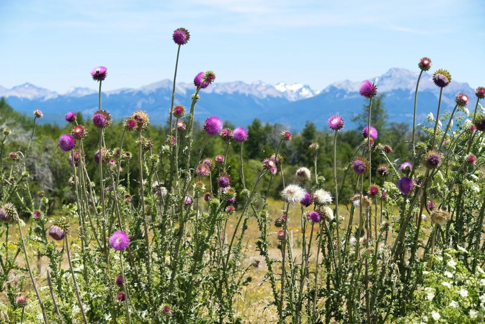
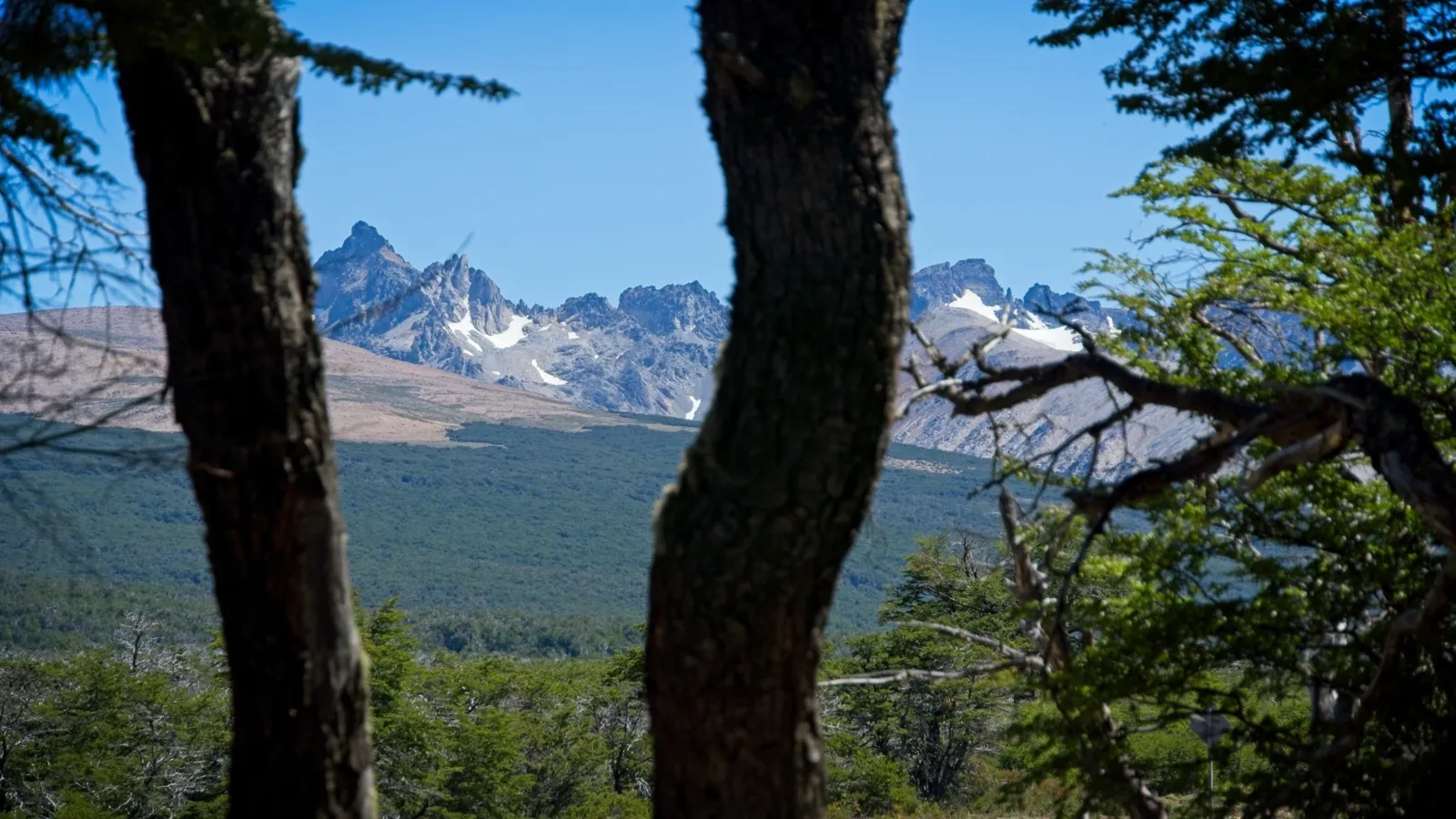
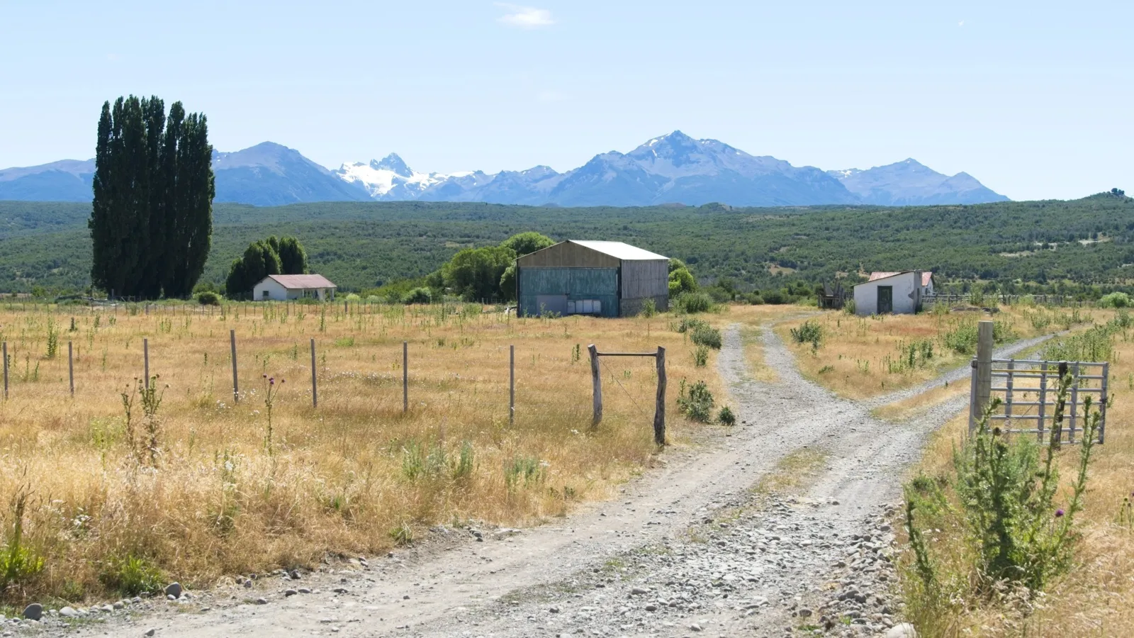
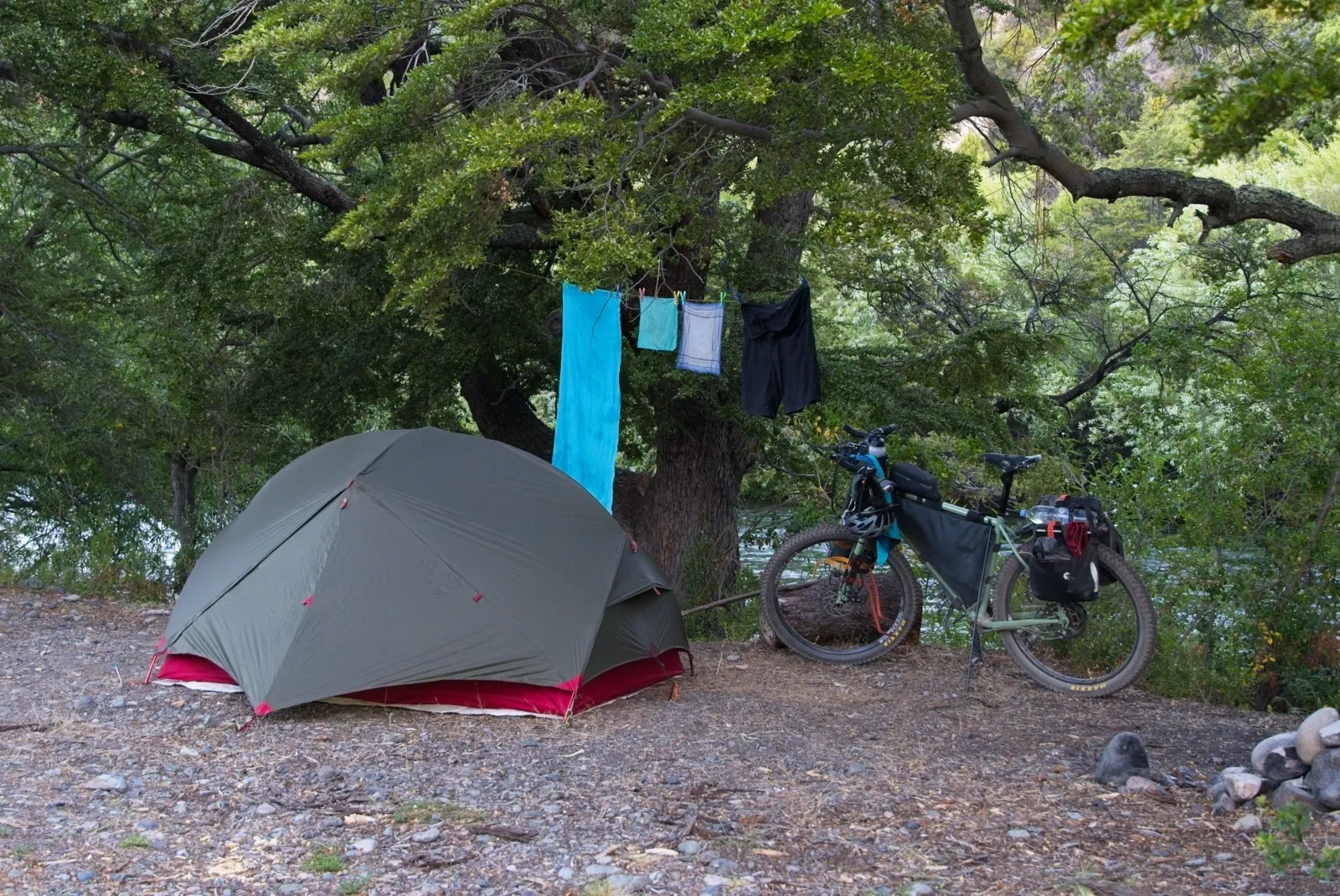
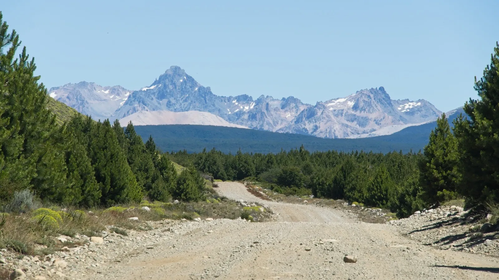
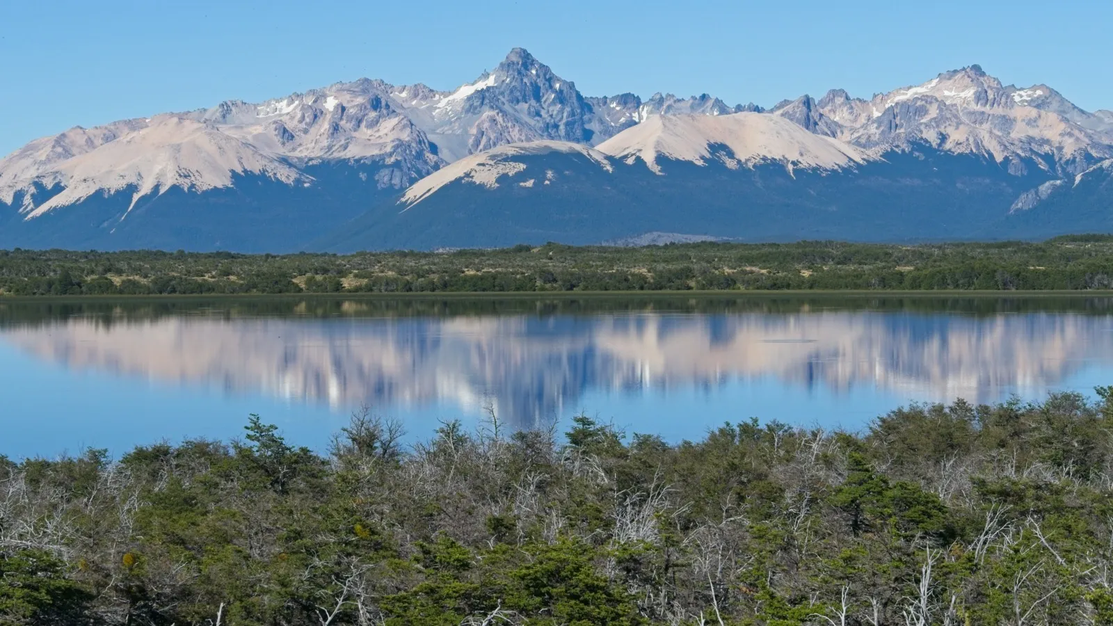
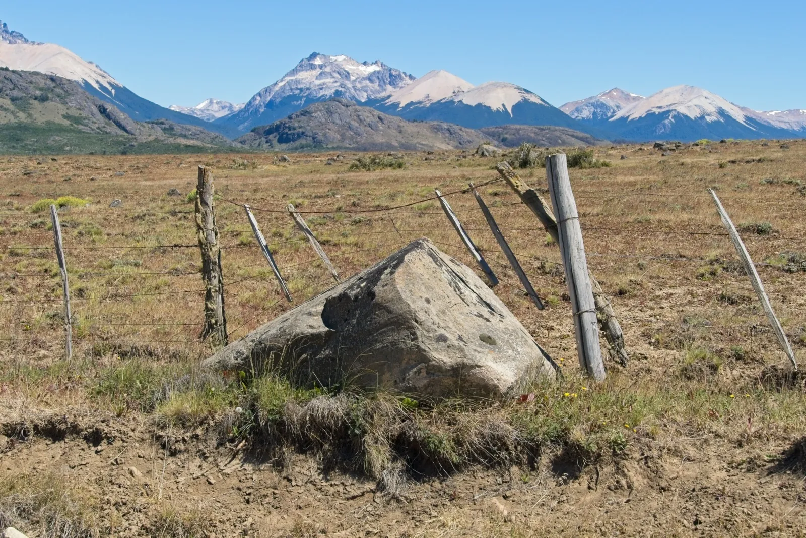

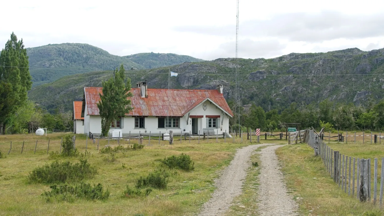

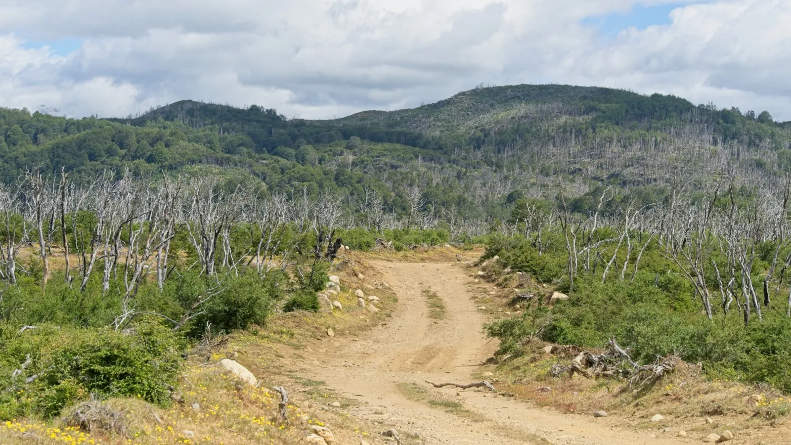
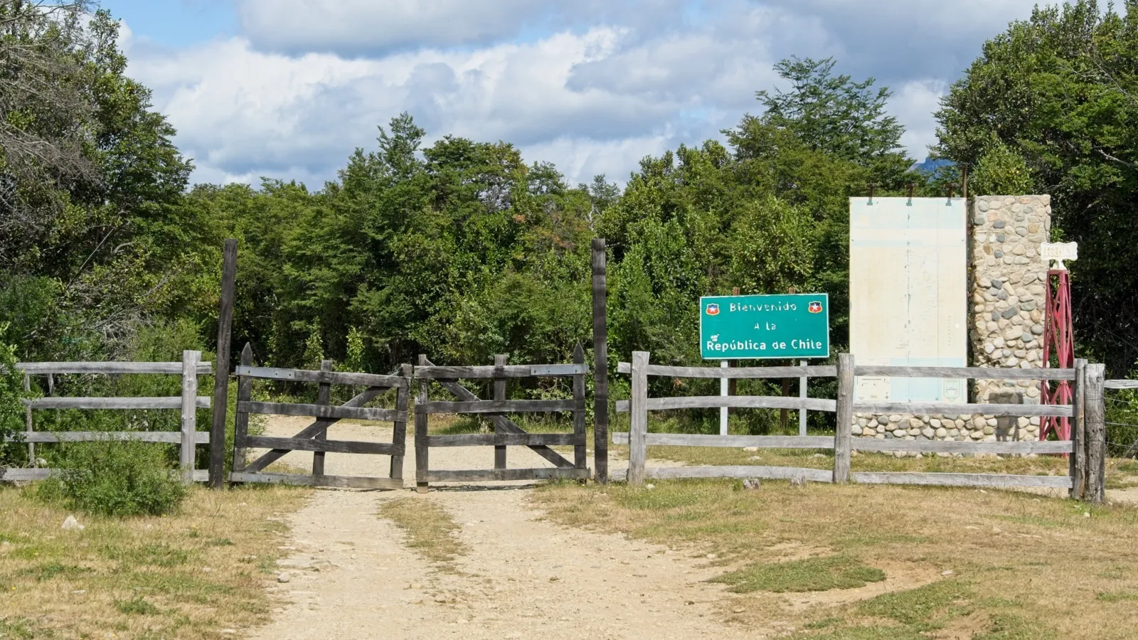
Not far from the small lake was the Gendarmeria post, where I had myself stamped out of Argentina the next morning. The friendly officer told me to be careful when fording the Rio Pico, though the water was probably not that high. He turned out to be right. The path now led through a stretch of scorched earth – the fire must have been two or three years ago, because dense green shrubs were already growing everywhere between the forest of dead tree skeletons – nature eventually takes everything back. Small streams kept flowing across the path, once or twice there were a few rather swampy spots, and shortly afterwards I stood at the Chilean border again. A short descent into the village of Lago Verde followed. After the official entry process with the Carabineros, I had to decide how to continue: 70 kilometers along the road to the Carretera Austral, or another 80 kilometers straight through the utterly lonely wilderness to La Tapera, continuing to follow Mark and Hana's route. In favor of the lonely route was of course its remoteness and the adventure that came with it; against it, the river crossing at the end of the route, which, according to Mark's report, might be somewhat challenging. After a hearty lunch in a small restaurant, I felt full of strength again and was ready for the next challenge – somehow the river would work out, after all it had been dry in the region for the last few days.
Lago Verde – Villa la Tapera
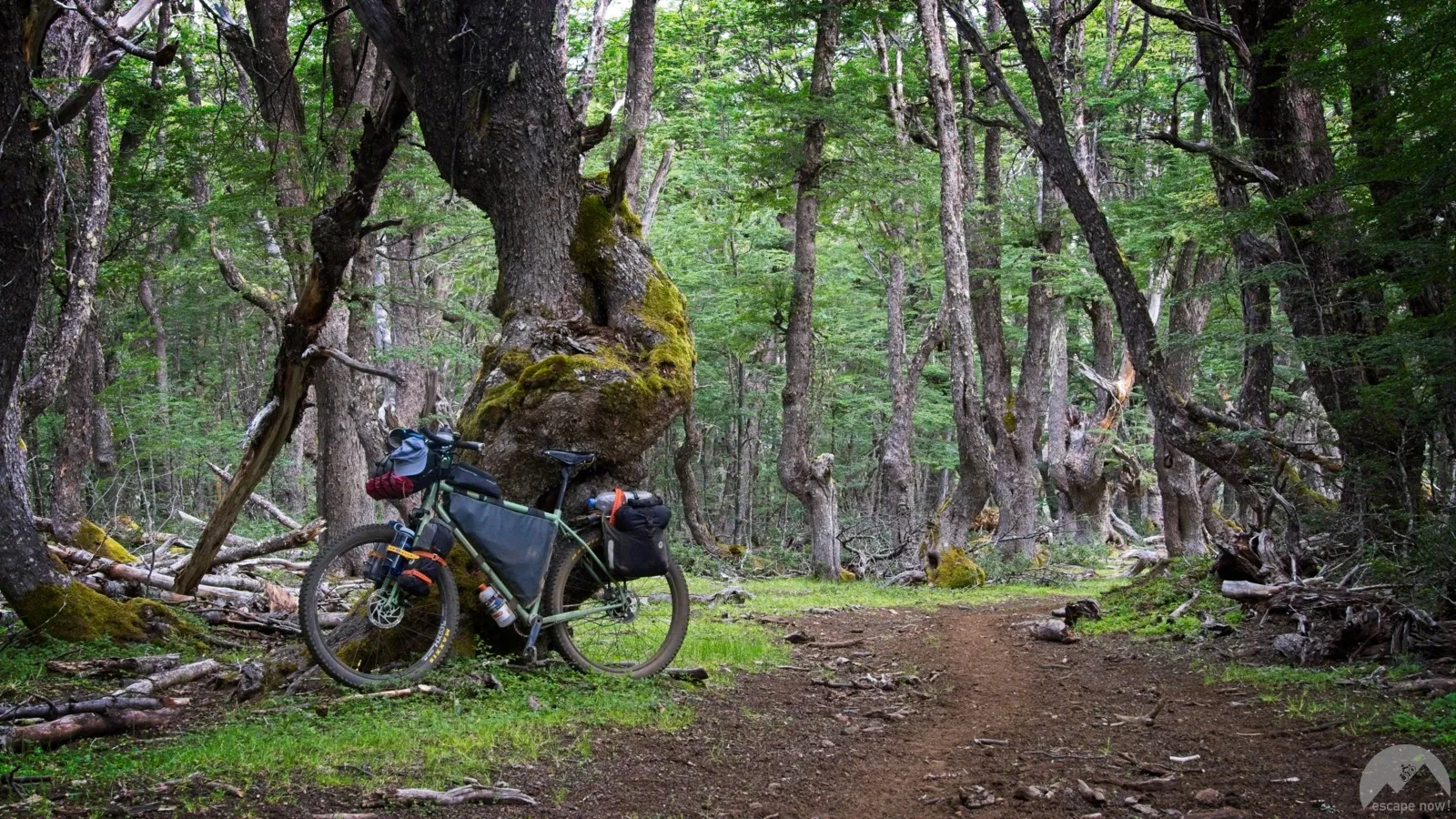
The decision for the route to Villa la Tapera really was spot on. I enjoyed the scenery so much, and whether the magic of this stretch will stay this way in the future is more than questionable.
From Lago Verde, to reach the start of the actual route you have to climb a bit further up the mountain toward the Argentine border, or more precisely a little short of it. There a single-lane track begins that, in many places, requires a four-wheel-drive vehicle. Or, well, a bicycle and enough motivation for the occasional hike-a-bike section. The track connects the two villages of Lago Verde and Villa La Tapera, but it is not one on which meaningful traffic is currently possible; it is used mainly by the neighboring farmers.

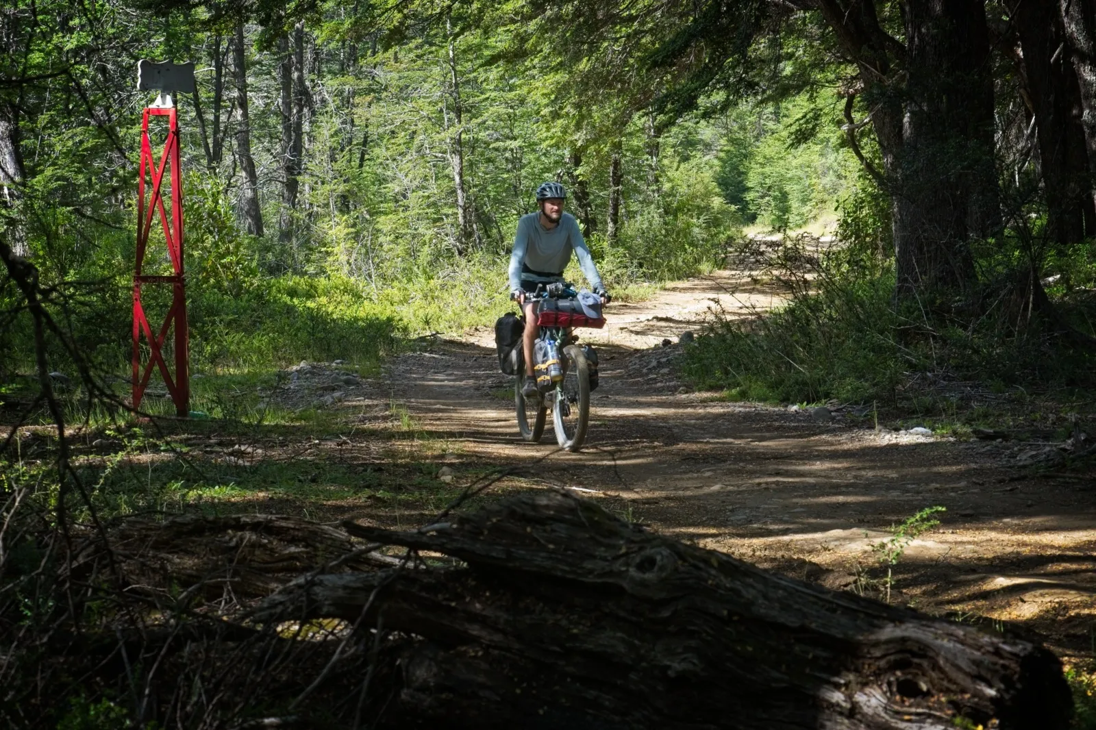
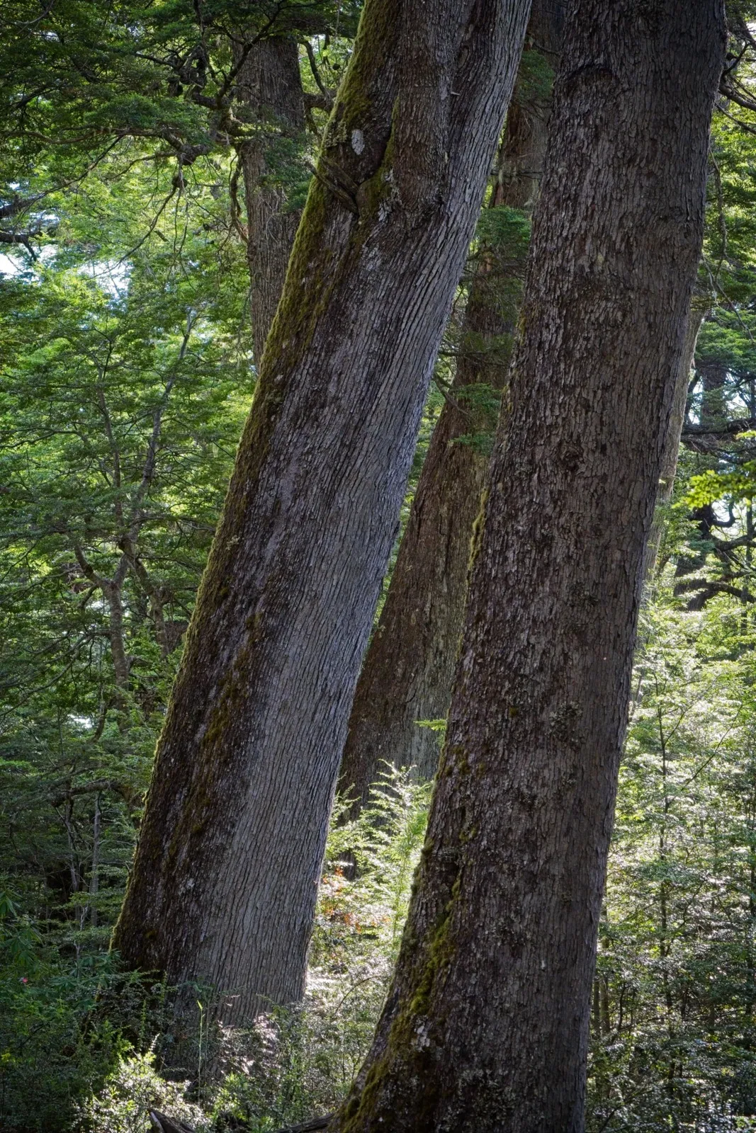

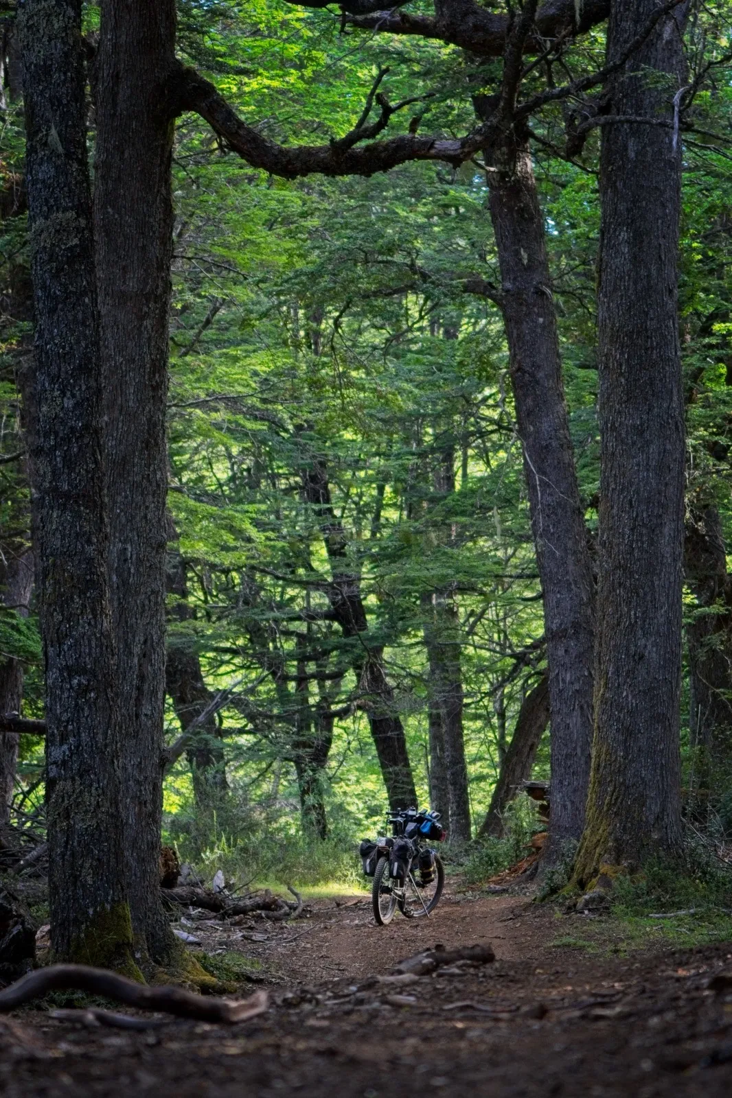
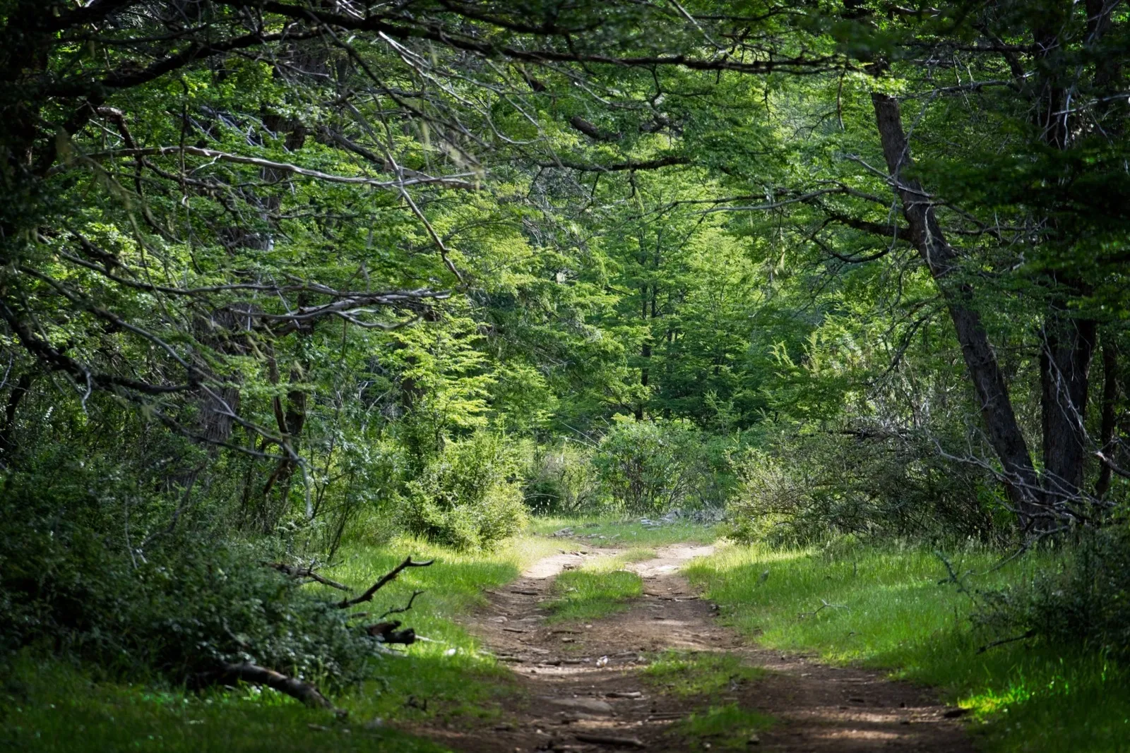
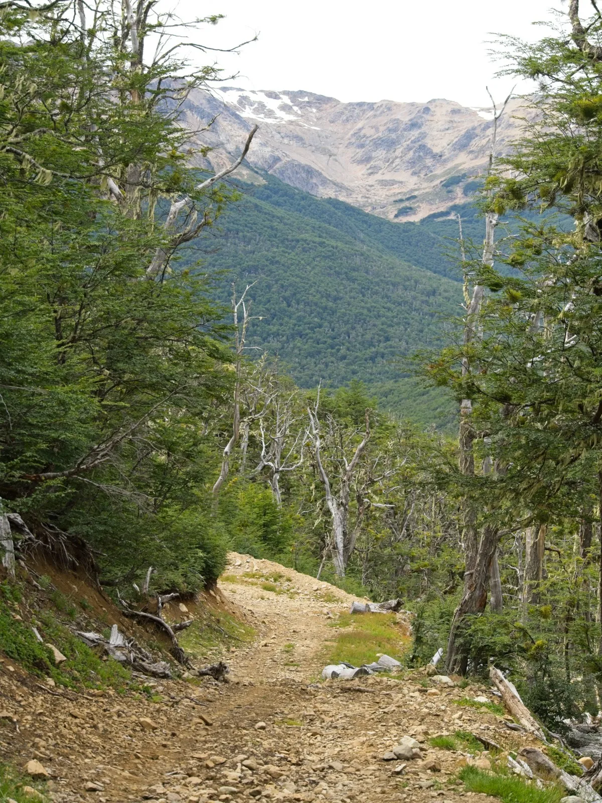
The start of the route was absolutely dreamlike. The path first made several arcs across the official border between Chile and Argentina. It went through untouched forest straight out of a fairy tale, with grass-covered clearings in between, small streams and every now and then a few gates that had to be opened and closed again. There was nobody to be seen far and wide, just me and the incomprehensibly beautiful nature. As dusk was slowly falling, the path led through a very steep gully. The path looked very fresh at this point; it must only recently have been cut into the mountainsides in this form with heavy machinery. Shortly after, I found a suitable spot for the tent on a level meadow.
The next morning, the first of the three big climbs of this stage lay ahead. Partly it was rideable, but for the most part I simply pushed the bike uphill, cursing away busily while the sweat just poured. The path was wonderfully dry, sometimes a bit too rocky, but it didn't require any special technique – it was simply steep. The nastiest challenge was probably the fat horseflies. Whenever the bike had to go up the steep mountain and I was correspondingly slow, they had an easy time of it. Statistically, though, I killed more horseflies than I collected bites.
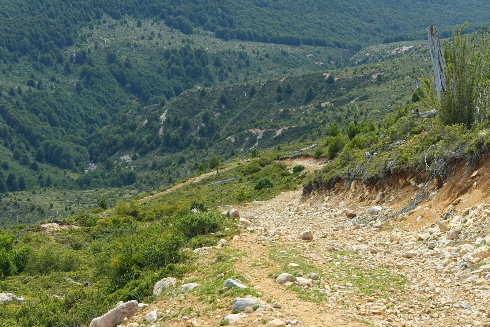
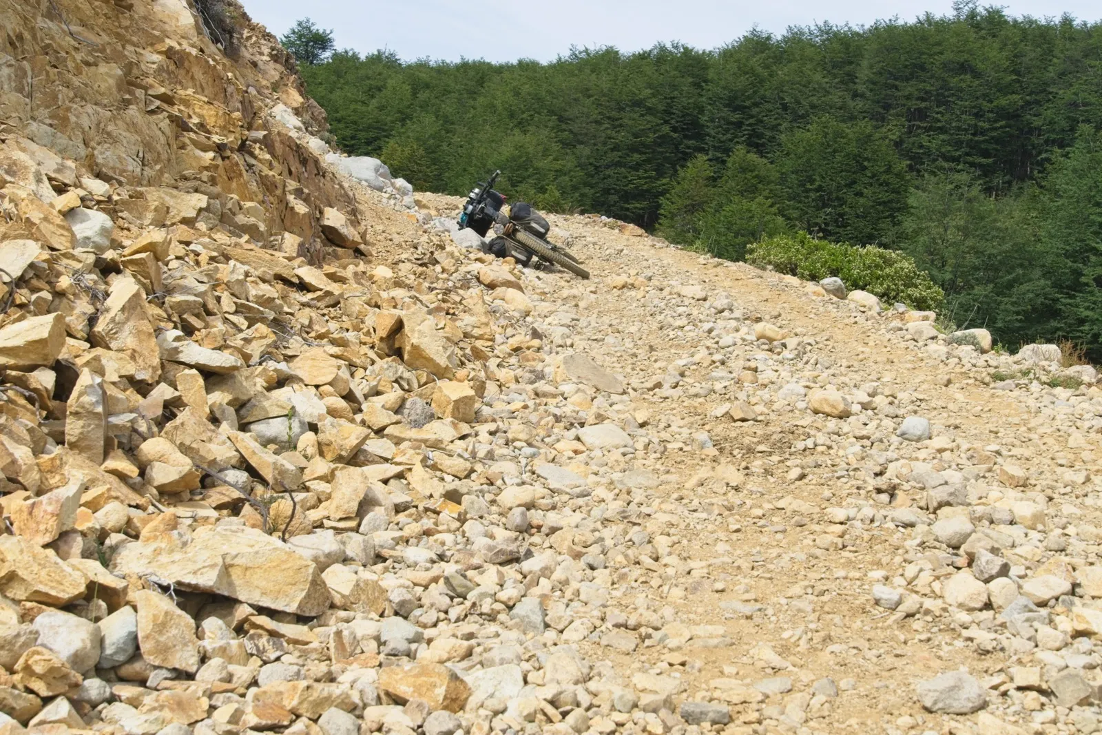
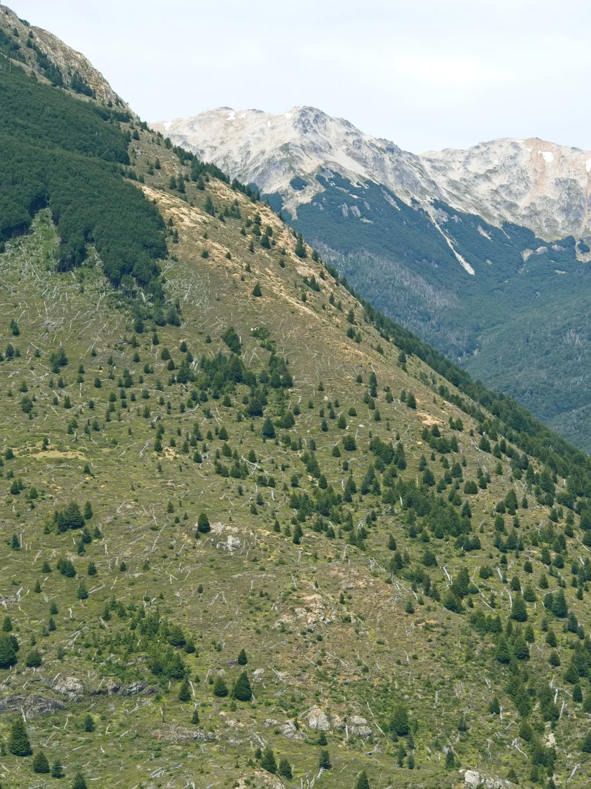
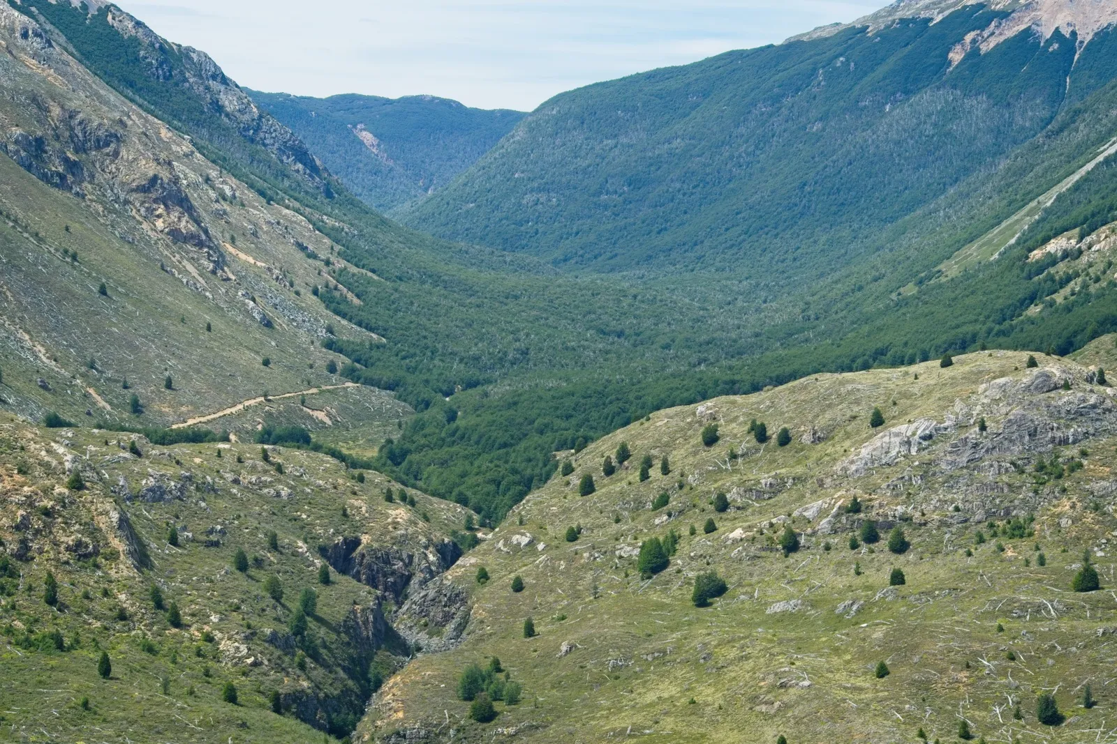
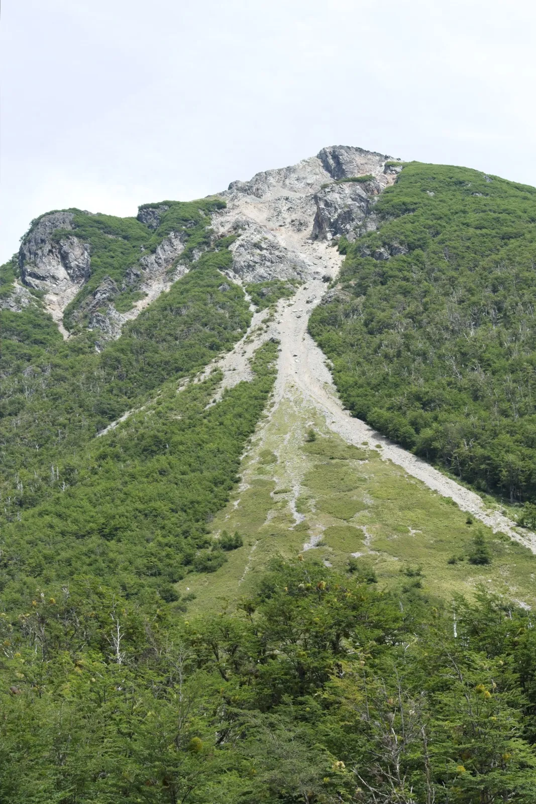
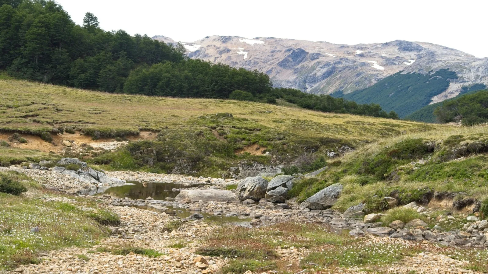
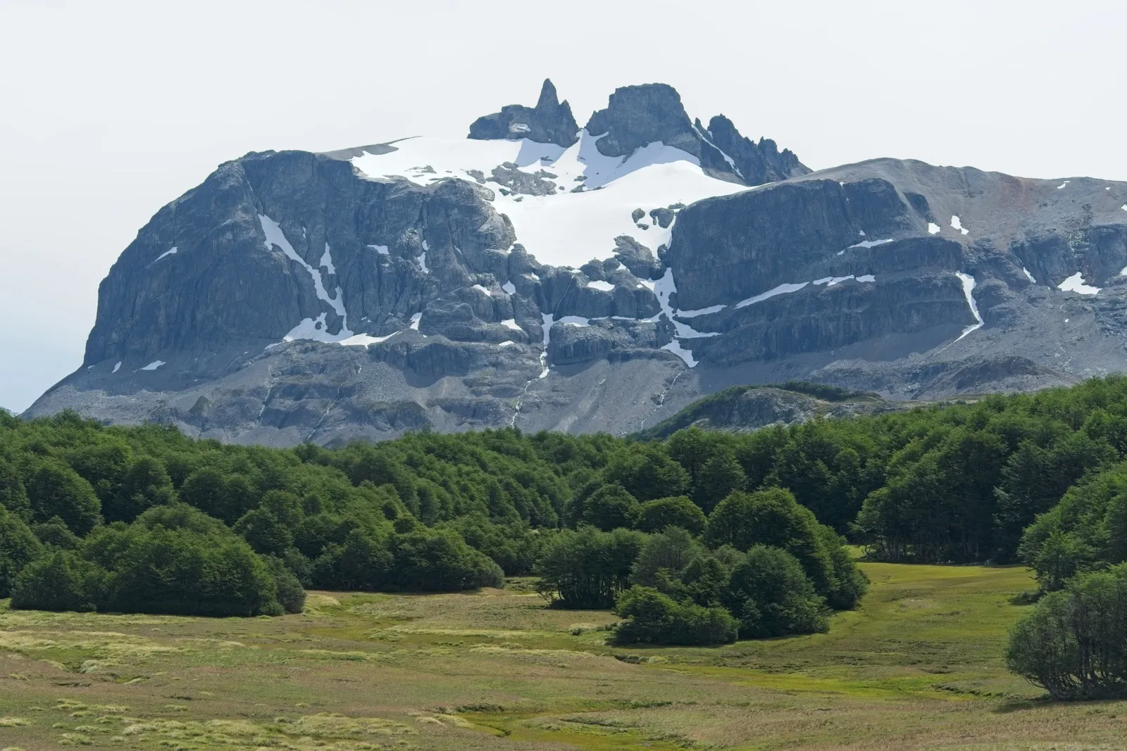
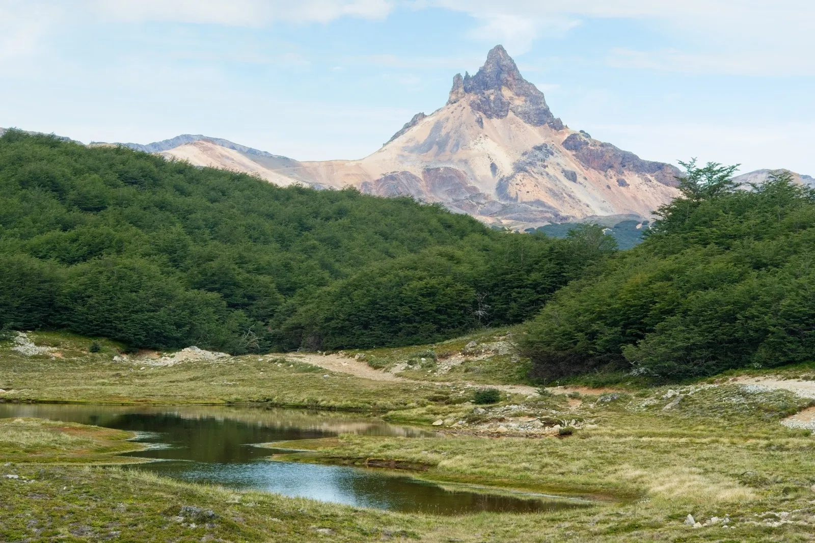
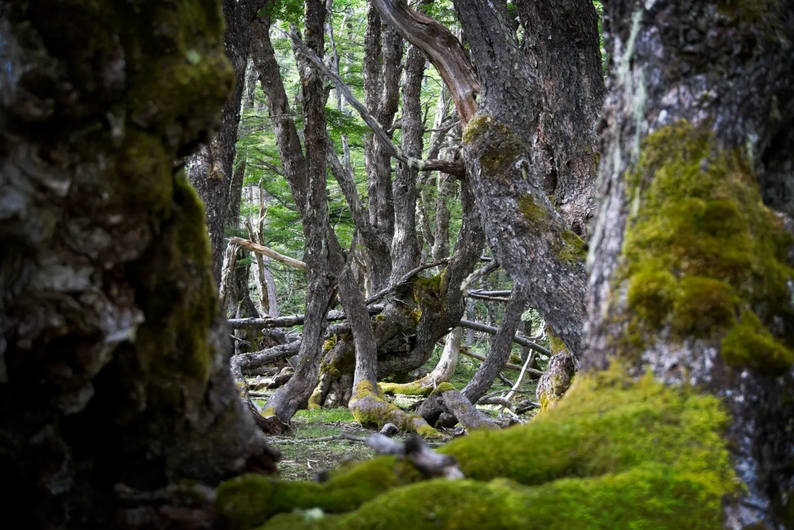
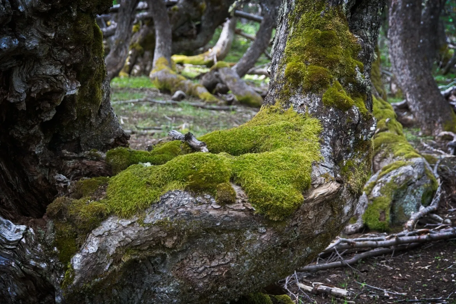
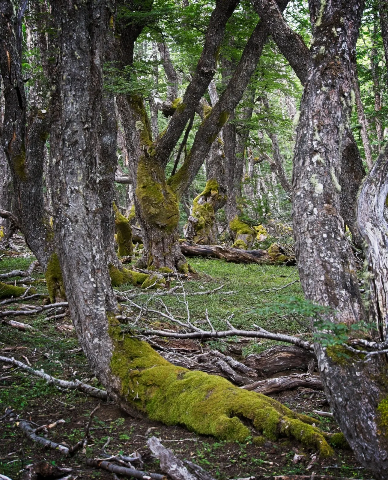
After the first climb came a fairly blocky descent that was really fun on the new mountain bike. A nice short forest section with a few stream crossings followed before the second climb began. This one was less blocky, but felt longer and steeper. On this stretch I first met a pickup with two friendly Chileans coming the other way, who said I would get through to La Tapera just fine. Right after that I passed a wheel loader repairing the track in the curves affected by landslides. At the top of this climb, I found myself on a kind of alpine meadow crossed by a small stream and a few dried-out ponds. Add to that the panorama of a striking, snow-covered rock massif directly opposite the meadow. Definitely a sight for which the sweaty climb before had been worth it. The descent that followed was very rideable, and for a longer stretch it once again went through an absolute fairy-tale forest. Every tree was somehow grown crooked in a different way, wonderfully decorated with glowing moss and by no means boring to look at. When a window opened up between all the branches, you could see the peak of the imposing Cerro de los Contrabandistas. Arriving at a clearing with a clear mountain stream, it was obvious that this was a perfectly idyllic campsite – so it became a rather short day's stage.
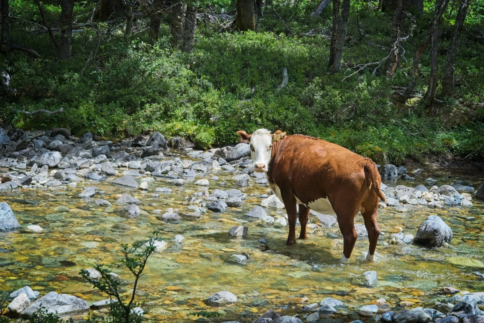
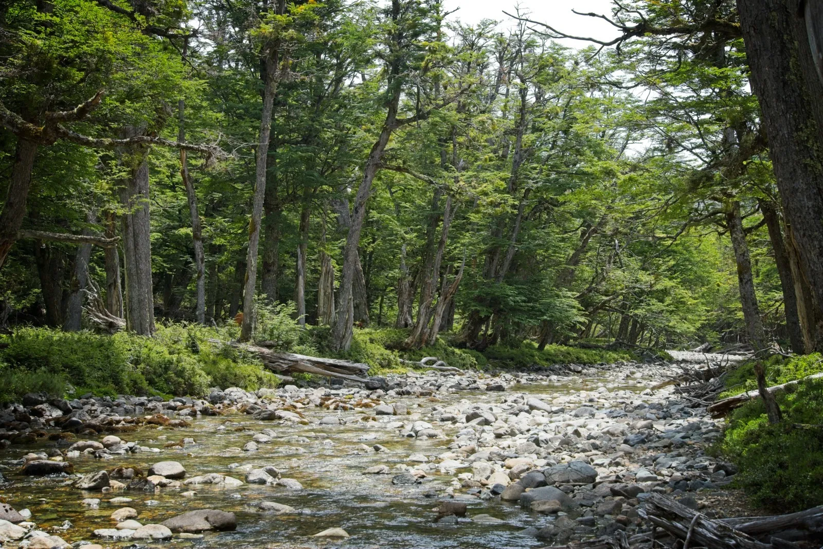
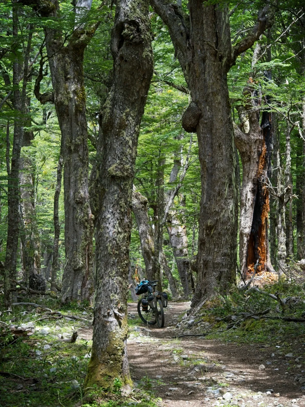
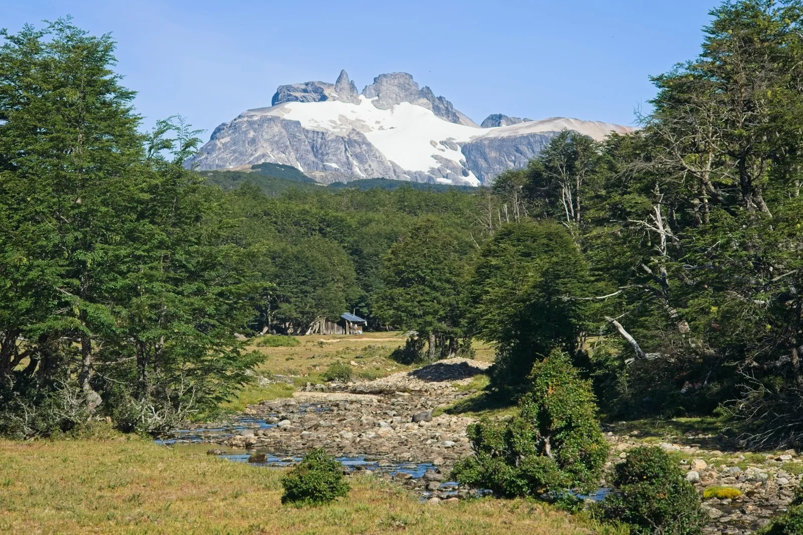
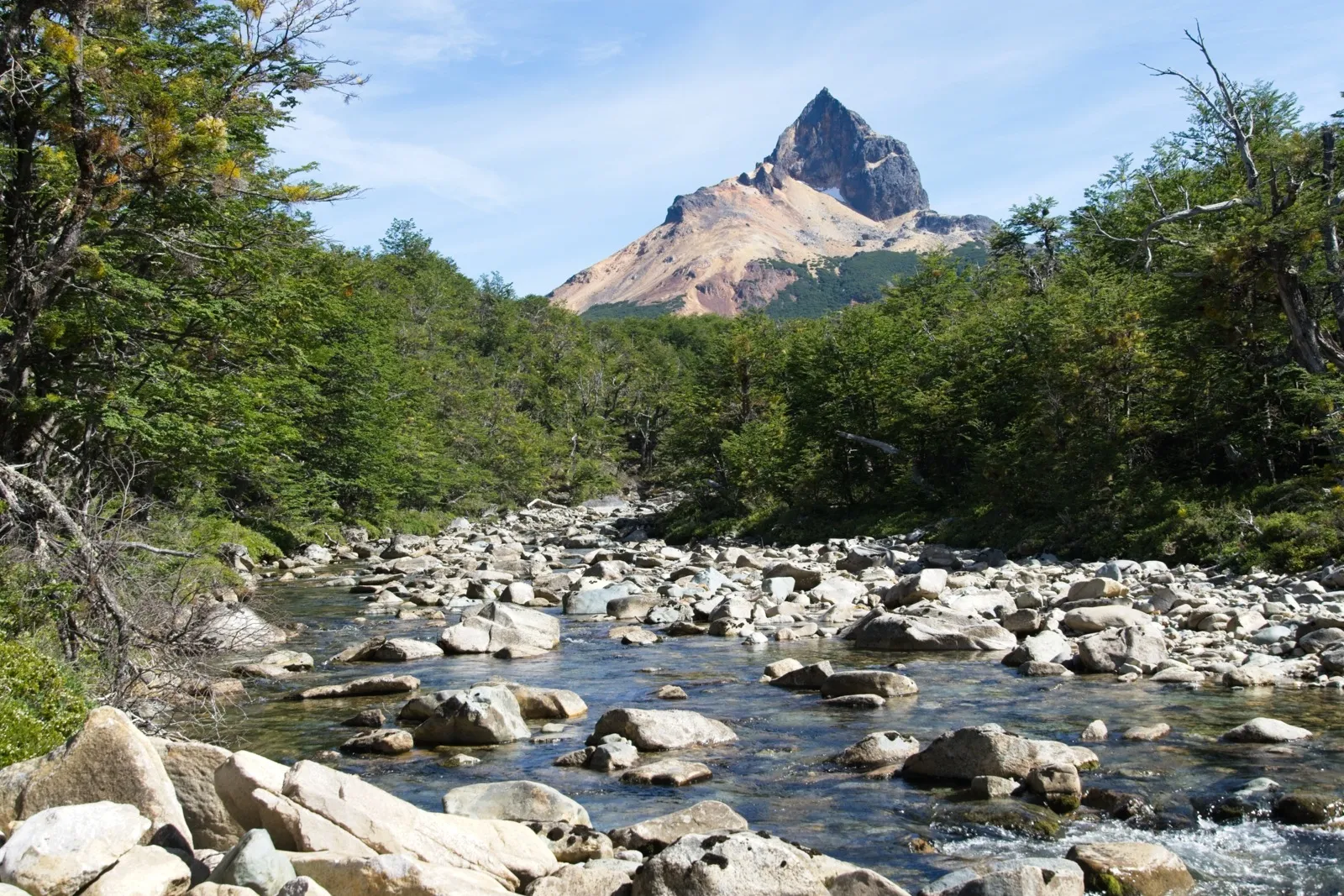
The next day I continued downhill, of course not without repeatedly passing short sections with small climbs. But suddenly I couldn't go any further. The GPX track no longer quite matched the path; I was obviously on a newer route through the valley. Right in front of me was a steel gate, locked with a padlock. All the gates before had never been locked, just secured with a chain or a rope. There was no real way past on the left or right of the gate either. A few hundred meters away stood a small hut, next to it a little shed, and two or three curious horses were trotting around. Otherwise, though, nobody was there. Then I found the path belonging to the actual GPX track, but that was a dead end too. At that spot there was a gate that by now functioned more like a permanent fence. This double-leaf gate could, however, be lifted out of its anchoring on one side with some effort, so I was practically able to break out. Of course not without hanging the gate back into its original form behind me. I now had to cross a stream right away and was then back on the path that my navigation device showed as well. It was obviously an old path, because several fallen trees lay here. Again and again I had to dismount and lift the bike briefly. About a kilometer later, the new but blocked-off path joined from the right.
It went on down to the Rio Cáceres. At some point a construction crew came toward me, consisting of two pickups accompanying a large tracked excavator. Shortly after, I rolled past another construction crew that was putting up a fence right next to the track. What was going on here? Was the cozy solitude over now?
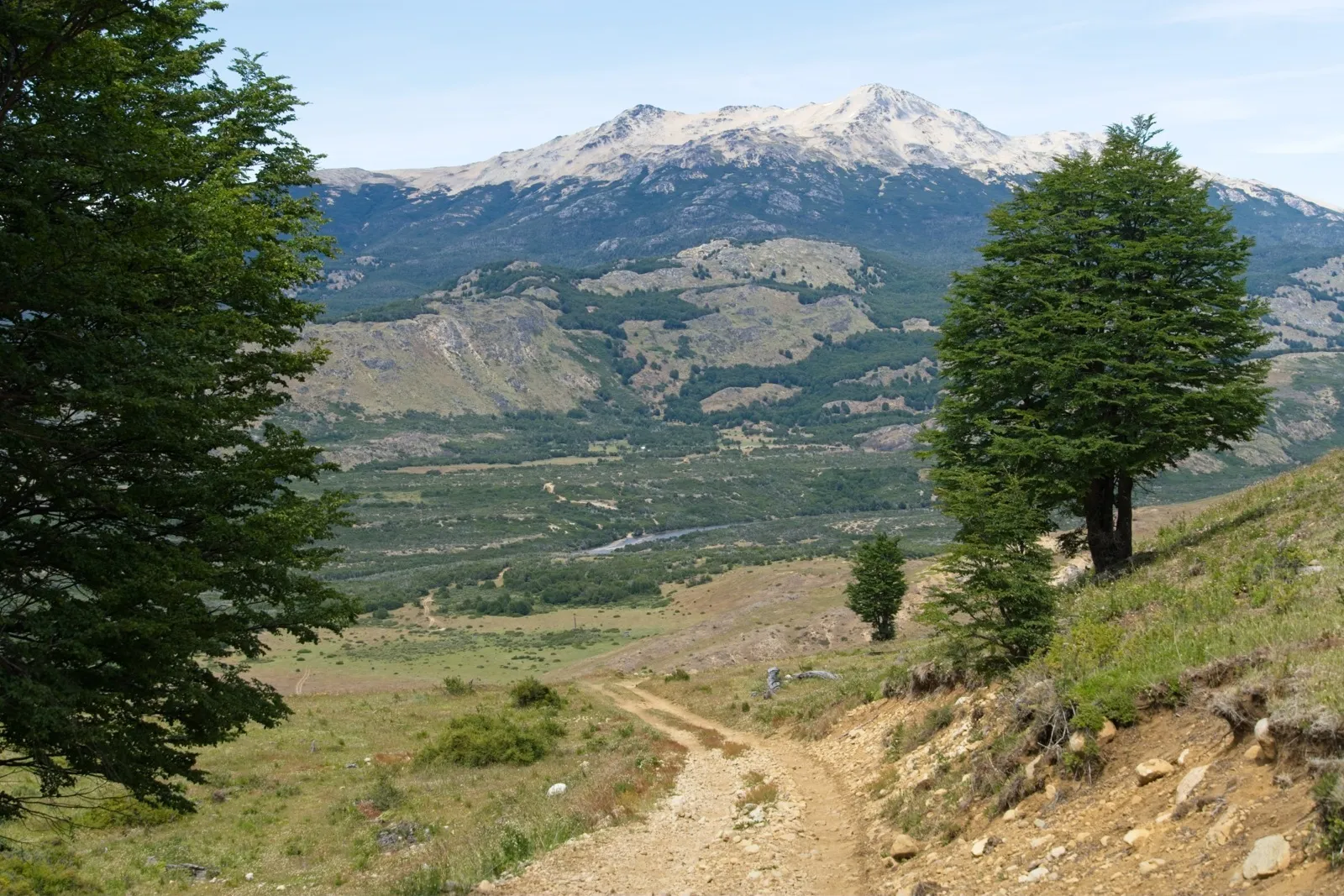

Arriving at the Rio Cáceres, I had an easy time. It was the first time the bike could simply be pushed through a small river – the water level wasn't very high. But then, I hadn't reached the Rio Cisnes yet, my dreaded challenger. Shortly after the river crossing, the third and last climb began, which was extremely steep in places again, but overall offered many well-rideable passages. Here too, another construction crew of pickups and a tracked excavator came toward me. Shortly behind the top of the climb a small lagoon appeared, perfect for a little refreshment.
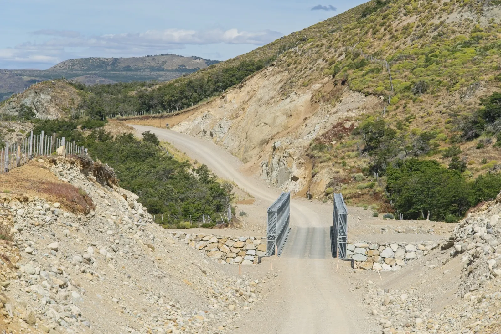
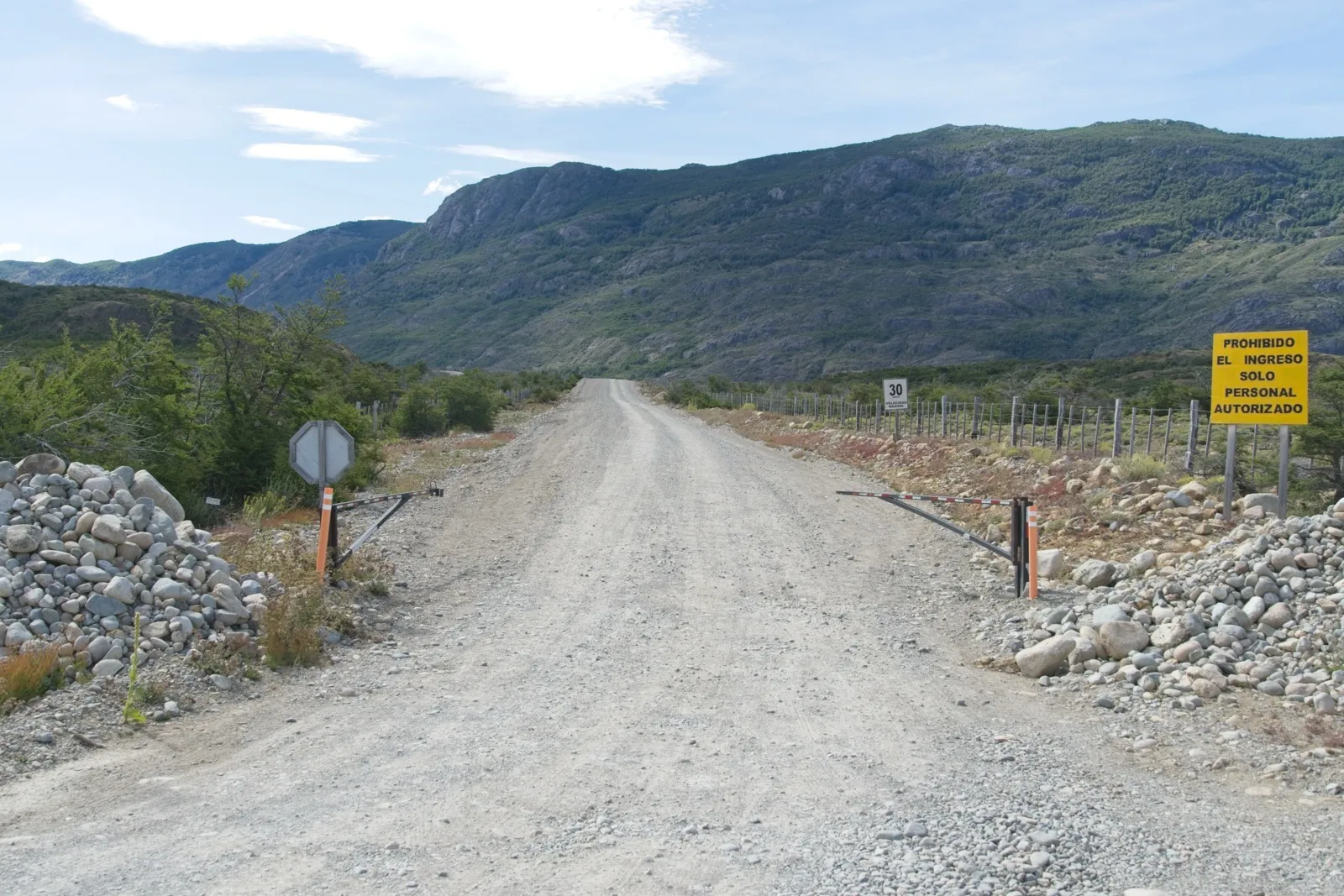
After the lagoon, the path essentially only led downhill until I suddenly found myself on a completely newly graded, two-lane gravel road. The road really looked as if it had been conjured up out of thin air. Right at this point I lost the actual track, but suspected that the not-yet-mapped road led to the regional road X-25, on which my destination La Tapera lay. Secretly I didn't really want to look for the track anyway; it would only have been another six kilometers to the Río Cisnes, the spot I was a bit nervous about and after which the route would have ended anyway. I practically floated along the new road to the X-25 and was amazed that there was suddenly such well-developed infrastructure here in the middle of nowhere. On the last six kilometers, which still led over the X-25 to La Tapera, "Teddy" stopped me with his pickup. He wanted to know whether I was coming from Lago Verde and how high the individual water levels at the fords were. Teddy is apparently a construction inspector for the road construction company working on the connection between Lago Verde and La Tapera. In about 20 years it will probably be finished, meaning in the state of a regional road. And even if the road will still run through a beautiful corner of the country then – fairy-tale-forest mood and solitude will probably be history by then.

Route
The GPX tracks can be downloaded from uMap or here on Mapy.cz – there you also get the whole thing with an elevation profile. The following table can give you a hint for planning your time – I'm not the fastest ;-)
| Section | Time (leisurely) | Distance [km] | Total distance [km] |
|---|---|---|---|
| Puerto Varas – Punta Canelo | 2 days | 136.2 | 136.2 |
| Punta Maldonado – Carabineros Paso Bolson | 1 day | 68.3 | 204.5 |
| Carabineros Paso Bolson – Gendarmeria Lago Puelo | 1 day | 12.3 | 216.8 |
| Gendarmeria Lago Puelo – Villa el Blanco | 2 days | 83.1 | 299.9 |
| Villa el Blanco – Trevelin | 2 days | 112.5 | 412.4 |
| Trevelin – Lago Pico No. 5 | 3 days | 185.4 | 597.8 |
| Lago Pico No. 5 – Lago Verde | 0.5 days | 16.2 | 614 |
| Lago Verde – Villa La Tapera | 2.5 days | 79.4 | 693.4 |
| Villa La Tapera – Villa Amengual | 1 day | 51.2 | 744.6 |
Travel time: December 2025 / January 2026
- Mark Watson's blog post with a route description for Paso Puelo/Bolson ↩
- The ferry across Lago Tagua Tagua is a large car ferry. Prices and ferry times can be found on this website. ↩
- Puerto Casa Negra: At this spot you have to wait for a boat that takes you across the Río Puelo to Puerto Lago Inferior. On site I found two phone numbers in total, both reachable via WhatsApp. And yes, surprisingly, there was even cell reception here. You can probably get a boat transfer on the weekend too, with a bit more patience, if you ask politely and are perhaps willing to add a few pesos. ↩
- The Salvo Conducto form can be filled out on this website. It is the last form on the page, and all foreigners without permanent resident status in Chile choose the option "Iniciar trámite sin ClaveUnica". This process is not necessary for entering Chile. ↩
- Before visiting the Casa de Ciclista "Pedalgónicos", you should get in touch with Jorge and Mariela beforehand, for example via Instagram or WhatsApp (the number should be available by asking around in cyclist circles). ↩
- Wikipedia: Los Alerces National Park ↩
- Mark Watson's blog post with a route description for Trevelin - Coyhaique ↩